Wall Maps
-
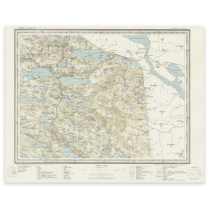
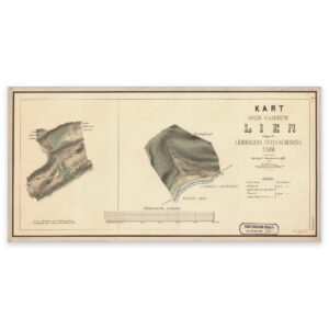
Lierne 1964
Select options -
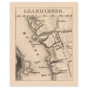
Lillehammer 1849
Select options -
List 1858
Select options -
Listing, unknown date
Select options -
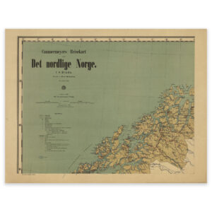
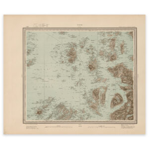
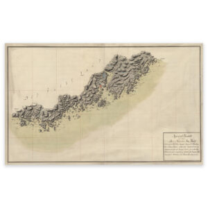
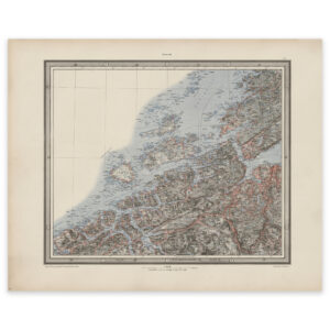
Lofoten to Tromsø 1898
Select options -
Lom 1878
Select options -
Low tide
Select options -
Lund 1962
Select options -
Lurøy 1904
Select options -
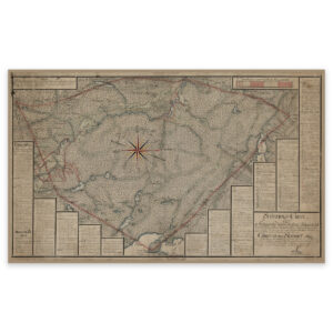
Madla camp 1915
Select options -
Map of customs stations along the coast 1867
Select options -
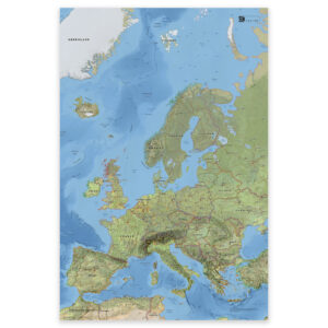
Map of Europe with countries and capitals – classic and detailed wall map
From 0,00 €
Select options -
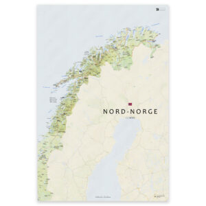
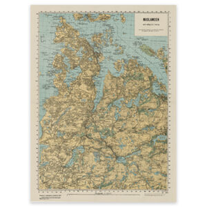
Map of Northern Norway – Nordland, Troms and Finnmark
From 0,00 €
Select options -

Map of Norway 1761
Select options -
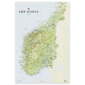
Map of southern Norway – from Agder to Trøndelag
From 0,00 €
Select options -
Map of the Mandal Lillesand section from 1797
Select options -
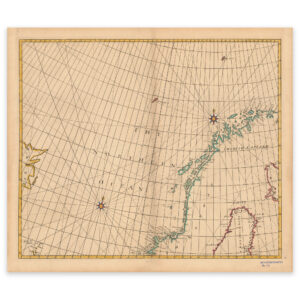
Map of the Norwegian Sea 1728
Select options -
Mid-Norway 1901
Select options -
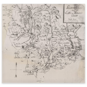
Moland vicarage 1577
Select options -
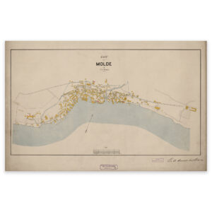
Molde 1897
Select options