Wall Maps
-
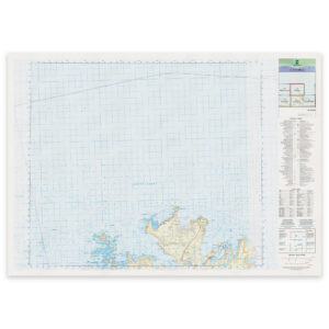
Kartverket – national map (N50): 45-B Nordkapp
From 29,74 €
Select options -
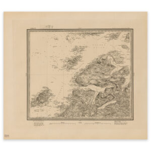
Kjerrringøy 1906
Select options -
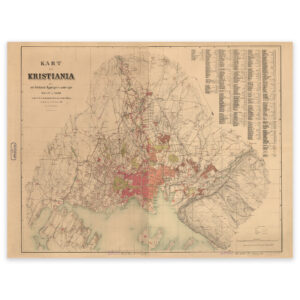
Kristiania 1881
Select options -

Kristiania and surroundings 1881
Select options -
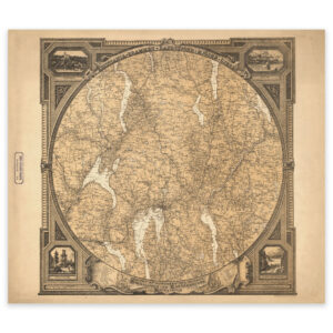
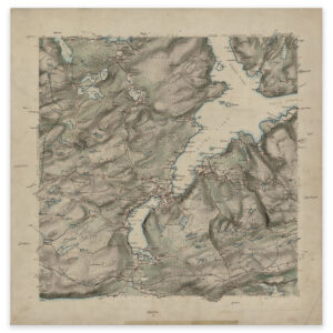
Kristiania County 1870
Select options -
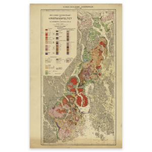
Kristiania field 1923
Select options -
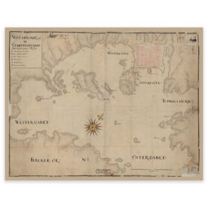
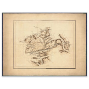
Kristiansand 1730
Select options -
Kristiansand 1802
Select options -

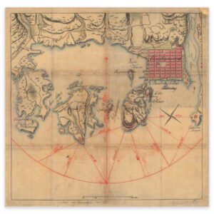
Kristiansund 1770
Select options -

Kristiansund 1790
Select options -
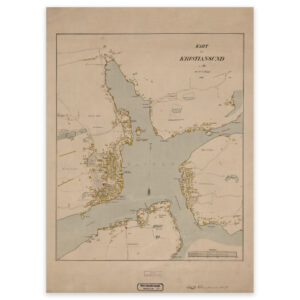
Kristiansund 1881
Select options -
Kristiansund, Aure and Smøla 1890
Select options -
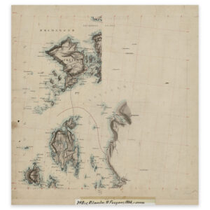
Krossfjorden 1927
From 50,08 €
Select options -
Kyrksæterøra 1872
Select options -
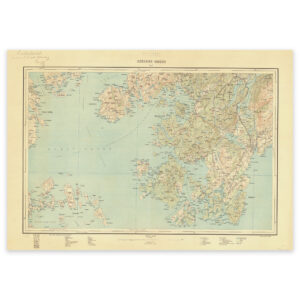
Lake Frøysjøen
Select options -
Larviksfjorden 1811
Select options -
Larviksfjorden 1811
Select options -
Lepsøyrevet-Åfjord
Select options -
Levanger, geological map 1881
Select options -
Lierne 1759
Select options