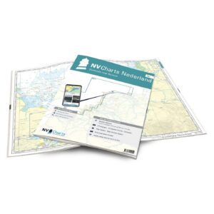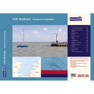
Description
Convenient and detailed nautical chart package from Imray covering the North Sea coast from the Belgian-French border at Nieuwpoort to Den Helder in the Netherlands.
Part of Imray’s popular A2 series for recreational boaters and small boat navigation, the chart pack covers the coastal areas of Zeeland, South Holland and North Holland with detailed nautical charts, harbor plans and approaches. This is a highly useful atlas for coastal sailing, port calls and North Sea passages between the Netherlands, Belgium and the UK.
The 2025 edition includes updated depth data, new wind farms and general revisions throughout the atlas. The charts also include Vessel Traffic Services (VTS) reporting points, which are mandatory for vessels over 20 meters in these waters.
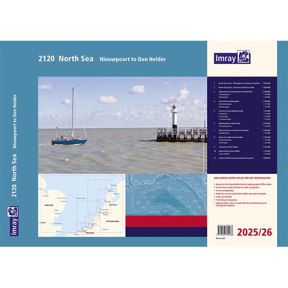
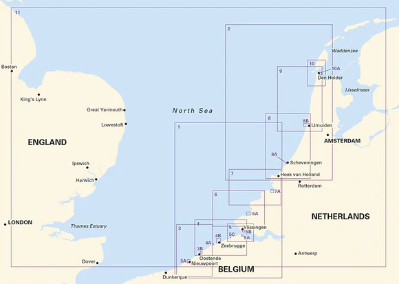
The map pack contains a total of 11 map sheets with overview maps, coastal maps and detailed port plans. Important areas such as Oostende, Zeebrugge, Vlissingen, Scheveningen, IJmuiden and Den Helder are included with their own detailed plans.
The map package covers among other things:
Map 1-2: North Sea coast from Nieuwpoort to Texel
Map 3-4: Entries to Nieuwpoort, Oostende, Blankenberge and Zeebrugge
Maps 5-7: Westerschelde, Zeeland and Hoek van Holland
Map 8-9: The coast from Hoek van Holland to Den Helder
Map 10: Entrance to Den Helder
Map 11: Overview map for route planning in the southern North Sea
Supplied in a practical A2 format in a plastic folder with spiral binding, suitable for use on board.
The map pack was previously awarded honorable mention in the British Cartographic Society Awards for thematic cartography.
Published and updated to March 2025.