Description
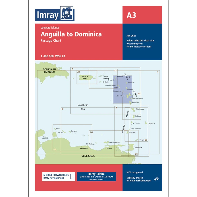
This boating chart from Imray is an overview and passage chart covering the sailing area between Anguilla and Dominica in the Lesser Antilles. The chart provides a good overview of the Leeward Islands archipelago and adjacent waters in the eastern Caribbean.
The chart is well suited for planning longer inter-island legs, overall route selection and navigation on open ocean stretches. It serves as a useful supplement to more detailed coastal and harbor charts, and is adapted for use by leisure boats and long-distance sailors traveling in Caribbean waters.
Imray has long experience as a manufacturer of nautical charts and is particularly known for its user-friendly boating charts designed for practical navigation and sailing over large areas of sea.