
Description
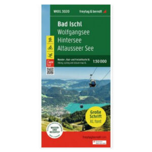
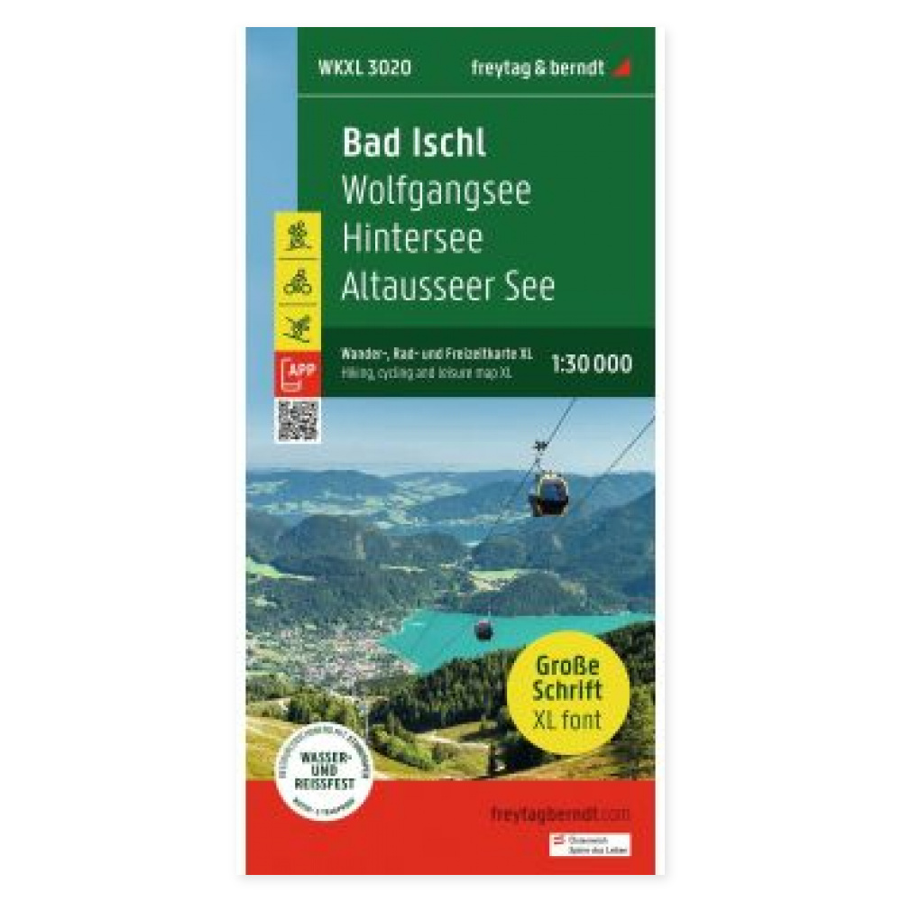
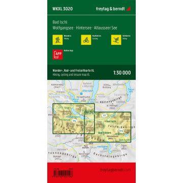
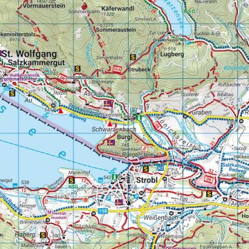
The Bad Ischl hiking map with extra large print provides a detailed overview at a scale of 1:30 000. The large print makes names and information easier to read when planning hikes, bike tours, and excursions in the area.
Hiking trails, long-distance routes, and cycle paths are marked, along with mountain bike tours and tourist information. The scale corresponds to 300 meters per centimeter, allowing for detailed examination of route alternatives on a paper map.
Ski routes and cross-country trails give the map applications for winter planning as well. Digital map access via the Rother app supplements the paper version; follow the information included with the map for access.
Waterproof and tear-resistant material is practical when taking the map outdoors. The map is printed on both sides and has an unfolded format of approx. 61 × 88 cm.
Practical information: Scale 1:30 000. Language: German. Publication year 2023. ISBN 9783707922196. Publisher Freytag & Berndt.