


Description
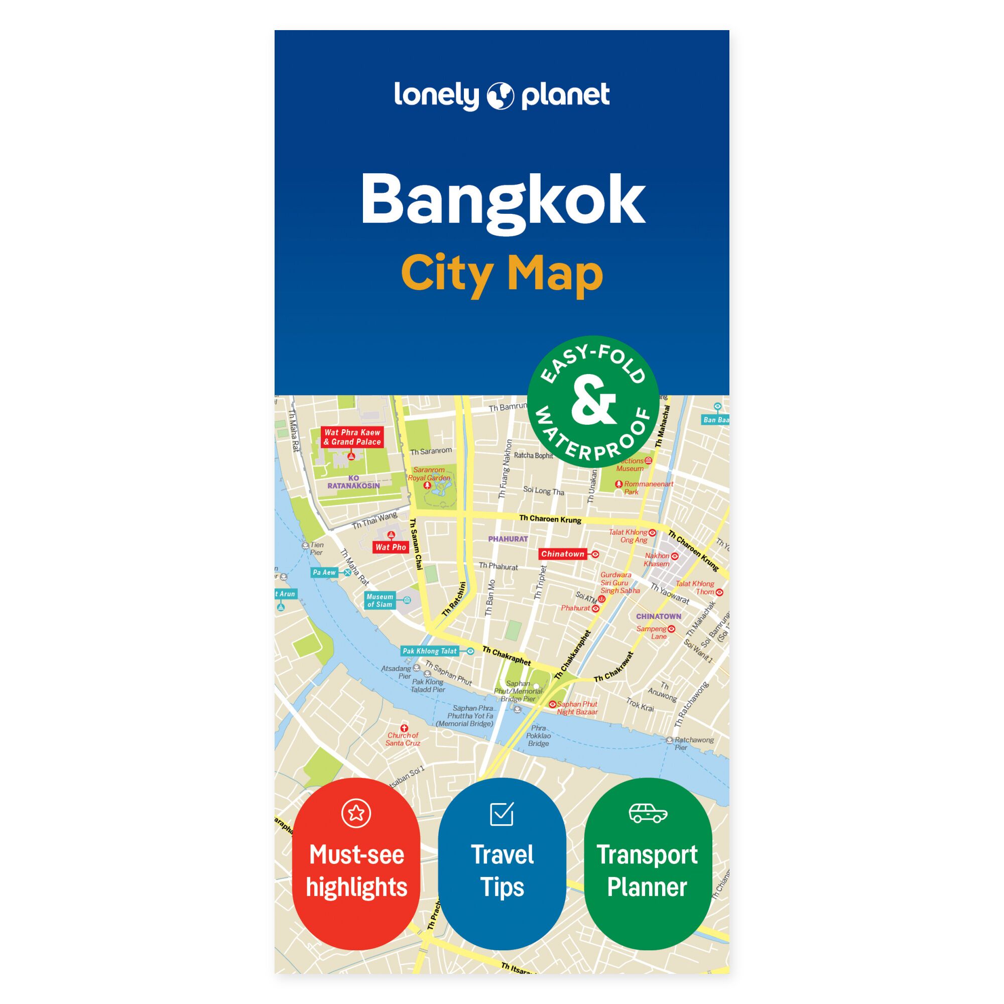
See your trip on the map. See Bangkok in context before choosing your route for the day. The Lonely Planet Bangkok City Map gives you a physical overview of central districts, with information to help you move between sights, food experiences and new stops.
Coverage includes Ko Ratanakosin, Thonburi, Chinatown, Siam Square, Silom, Lumphini and Sukhumvit. The map has a grid for locating places, an explanation of public transport, and practical advice on, among other things, arrival from the airport. Wat Pho, Talat Noi and Suan Pakkad Palace Museum are among the highlights featured.
Practical to bring along. The map is in color, water-resistant and easy to fold. It comes with a protective cover. You can use it to get an overview without zooming on a screen, and as a supplement to the travel guide when planning the day’s legs.
The unfolded format is 63 × 49.4 cm. Folded, the map measures 9.5 × 19.7 cm.
About the edition. English edition, published 2024. ISBN 9781787015272.
