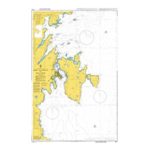
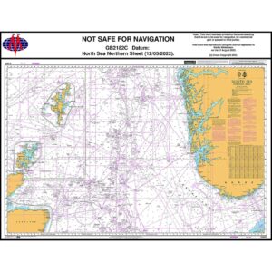
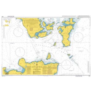
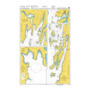
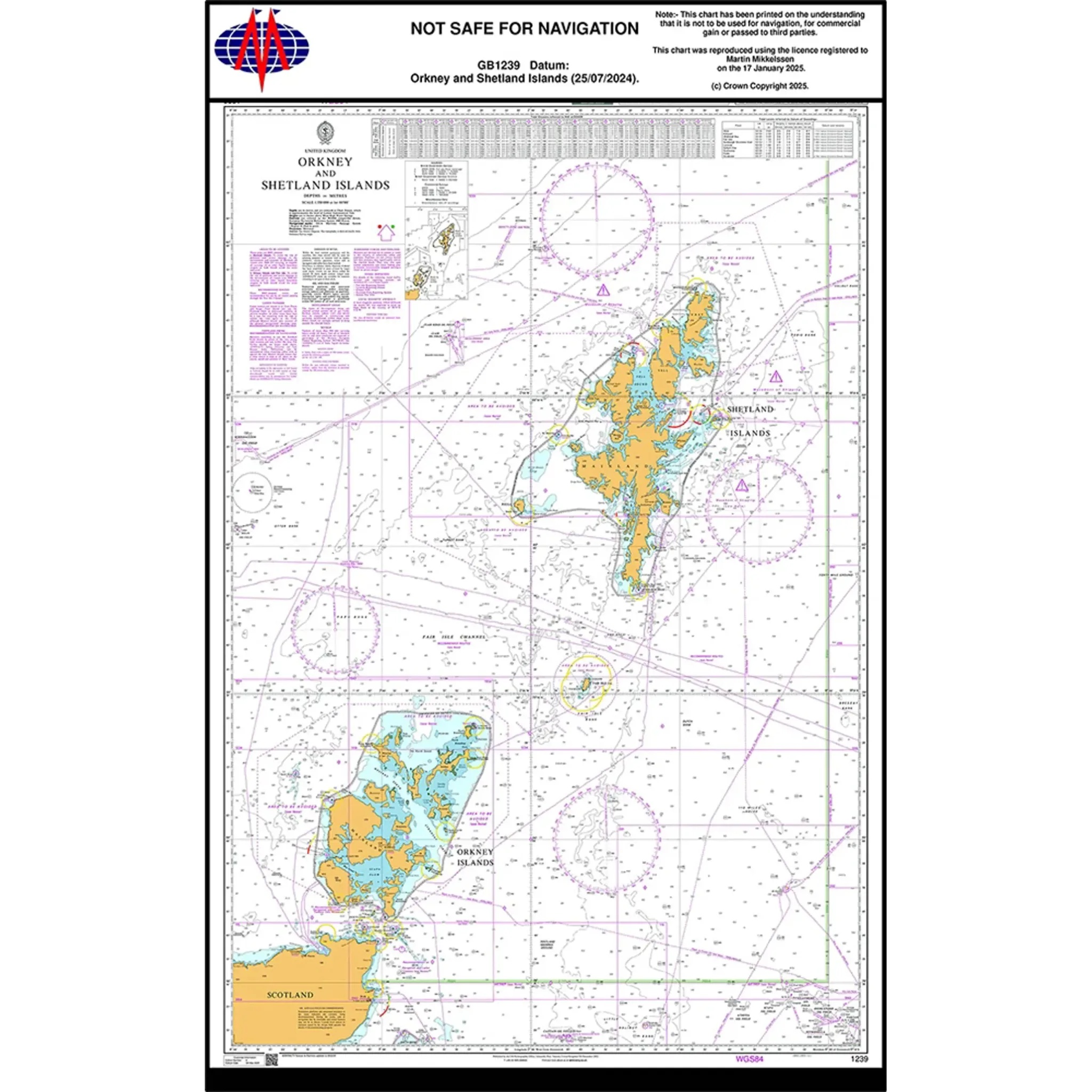
British Admiralty Chart 1239 – Orkney and Shetland Islands

British Admiralty overview chart covering Orkney and Shetland Islands, suitable for planning and overall sailing understanding.

Delivery is made in cooperation with StormGeo UK, official distributor of Admiralty maps. If the map is not in stock in Norway, it will be sent separately by DHL Express from the UK. Normal delivery time is 2-4 working days to most addresses in Norway. If delivery time is critical, please contact us and we will try to arrange the fastest possible delivery directly to the ship or port.

98,46 

British Admiralty

    Description

    This British Admiralty chart provides a comprehensive overview of the Orkney and Shetland Islands and surrounding waters in the North Atlantic. The chart shows island groups, main coastlines, major depth contours and general navigational references, and is intended for planning and clear understanding of the area.

    The map is a planning and overview map and is not intended for operational navigation. It is suitable for route planning, general sailing understanding and geographical orientation in the area between Northern Scotland, Orkney and Shetland.