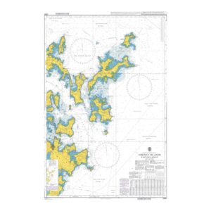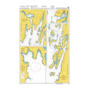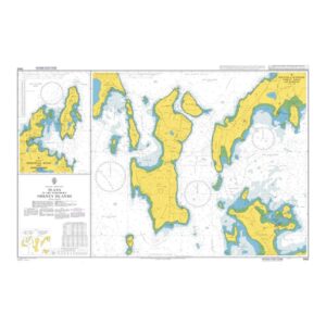
Description
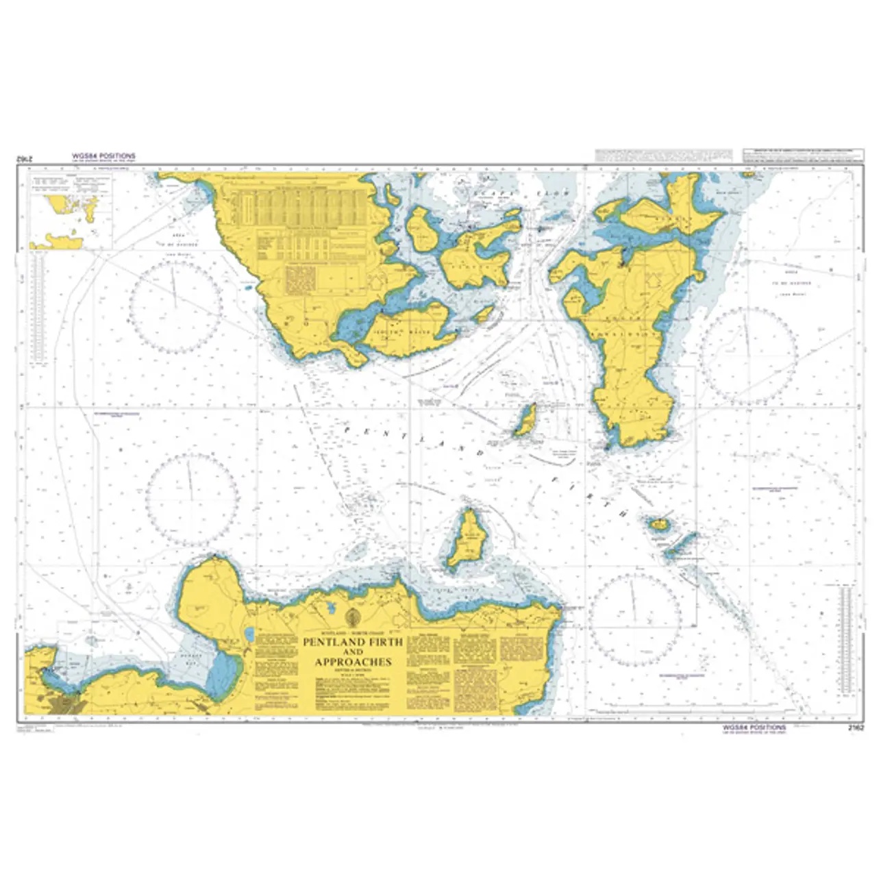
This British Admiralty chart covers the Pentland Firth and adjacent approaches between northern Scotland and the Orkney Islands. The chart provides a detailed representation of the coastline, islands, reefs, depths, shipping lanes and navigation marks in one of the most current-prone waters in the North Atlantic.
The chart is well suited for transit, route planning and operational navigation in the Pentland Firth, where strong tidal currents and demanding local conditions place high demands on precise charting. Developed for professional navigators, it provides a reliable basis for safe navigation in both open and coastal waters.