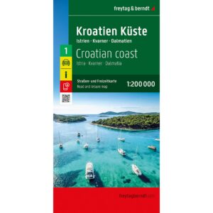
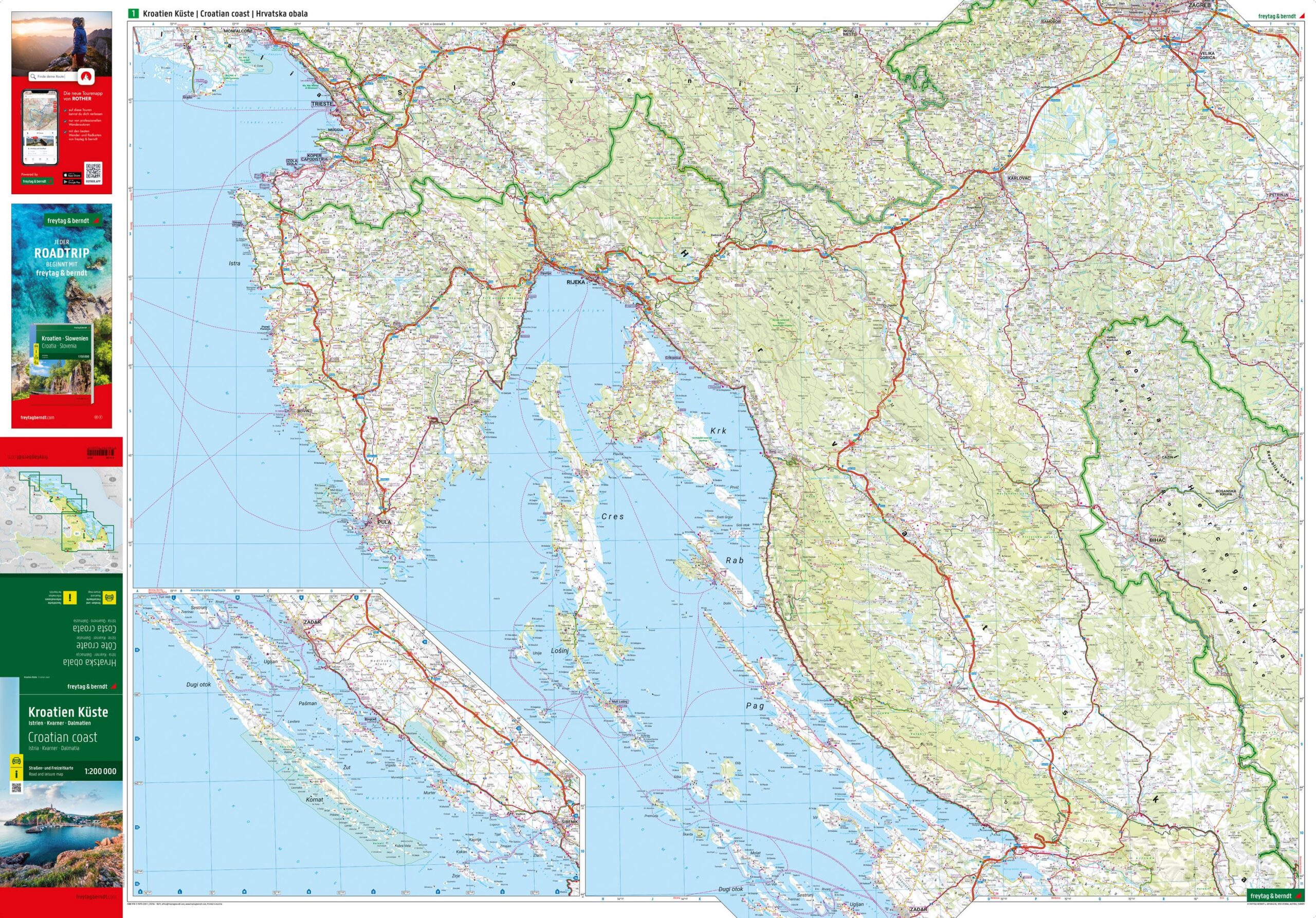

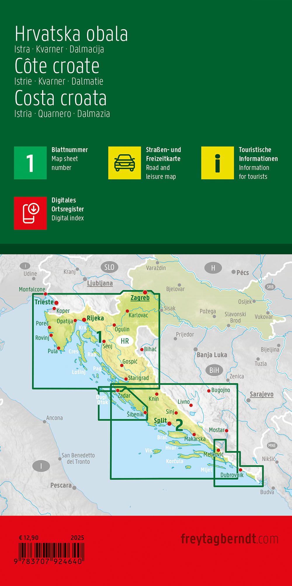
Description
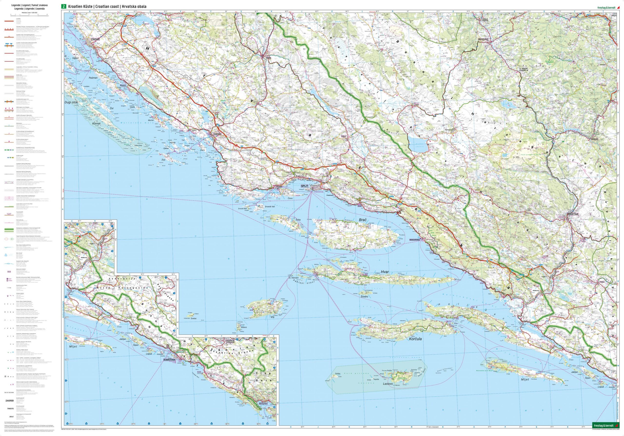
Covering the entire Adriatic coast from Istria and Kvarner Bay in the north to Dalmatia in the south, this detailed road map of coastal Croatia is particularly suitable for car, motorhome, motorcycle and camping vacations. Produced by freytag & berndt, the map provides a precise and easy-to-read map image at a scale of 1:200,000, with clearly highlighted main and side roads.
The map shows tourist routes, ferry routes, campsites and important services along the coast, making it easy to plan both short trips and longer journeys. It also includes a comprehensive place index for a quick overview and efficient navigation along the way. The map is printed on both sides in large format and is just as suitable for planning at home as for use on a trip.
Updated in 2025, this edition combines high cartographic quality with practical information for travelers who want to explore Croatia’s islands, coastal towns and scenic routes on their own. The map is printed in Austria and delivered as a folded road map.