

Description
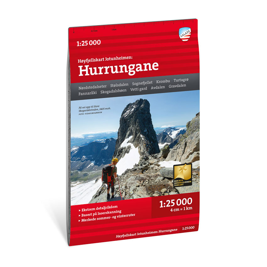
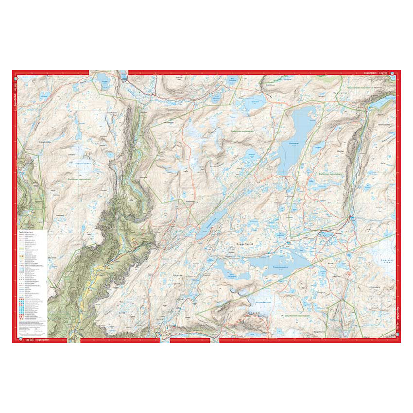
This high-mountain map covers Hurrungane in Jotunheimen, a distinctive and alpine mountain area with steep ridges, glaciers and marked peaks. The map provides a detailed presentation of the terrain, watercourses, glacier areas and trails, and provides a solid basis for planning and carrying out trips in the high mountains.
The map is particularly suitable for summit hikes to Skagastølstindane (2405 m), Store Ringstind (2124 m) and Fannaråki (2068 m). It is also suitable for hikes off the marked trails, where you want to choose your own routes in varied and demanding terrain.
The map is at a scale of 1:25,000, which provides a very high level of detail. At this scale, 4 cm on the map corresponds to 1 km in the terrain, which makes the map particularly suitable for precise navigation in the high mountains.
The map is printed on durable and water-repellent material that can withstand active use in demanding conditions.
Calazo Förlag is a Swedish publishing house specializing in maps and books for outdoor life in the Nordic region.
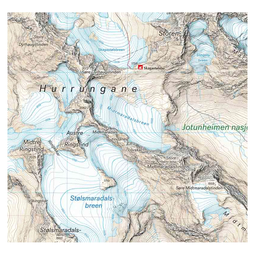
Here you can see the area the map covers:
Here you can see the area the map covers:
The map is released in 2022.