Description
The landscape and the journey
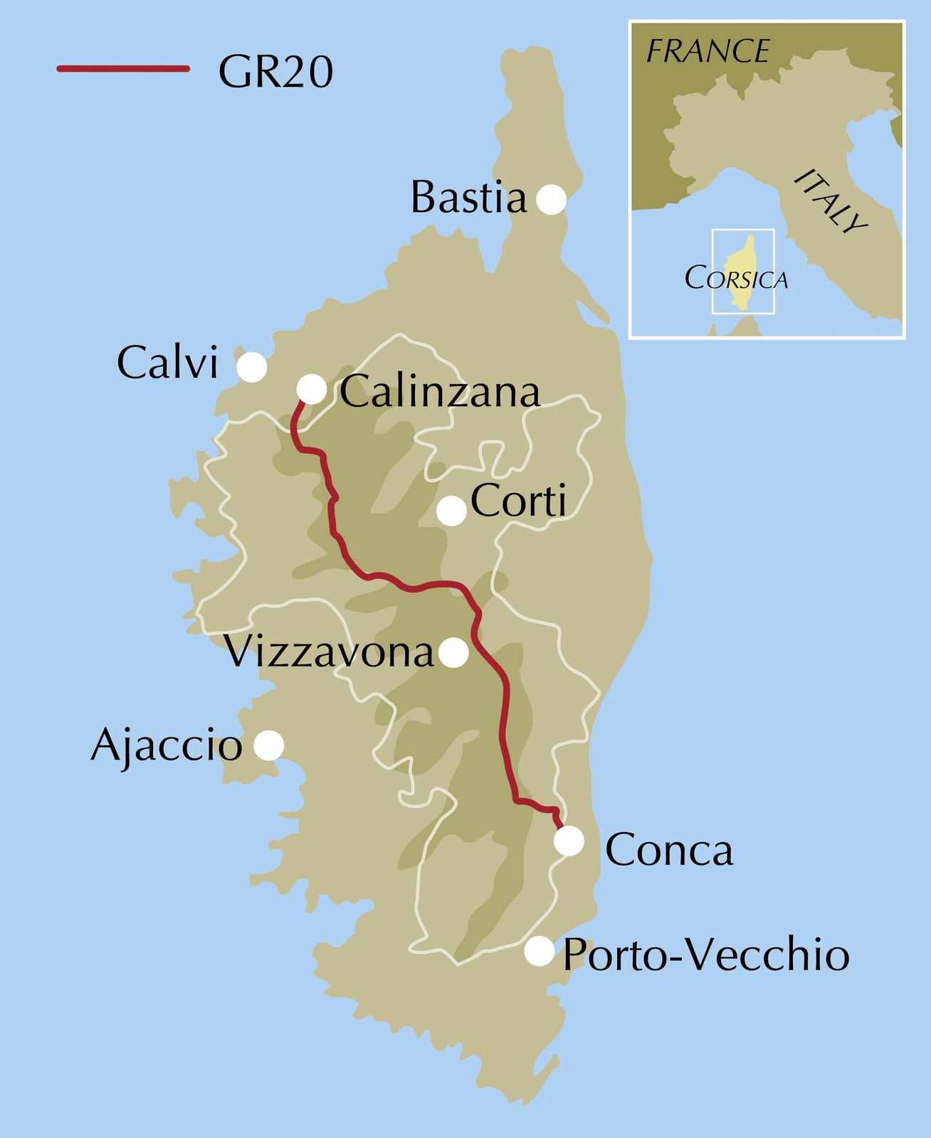
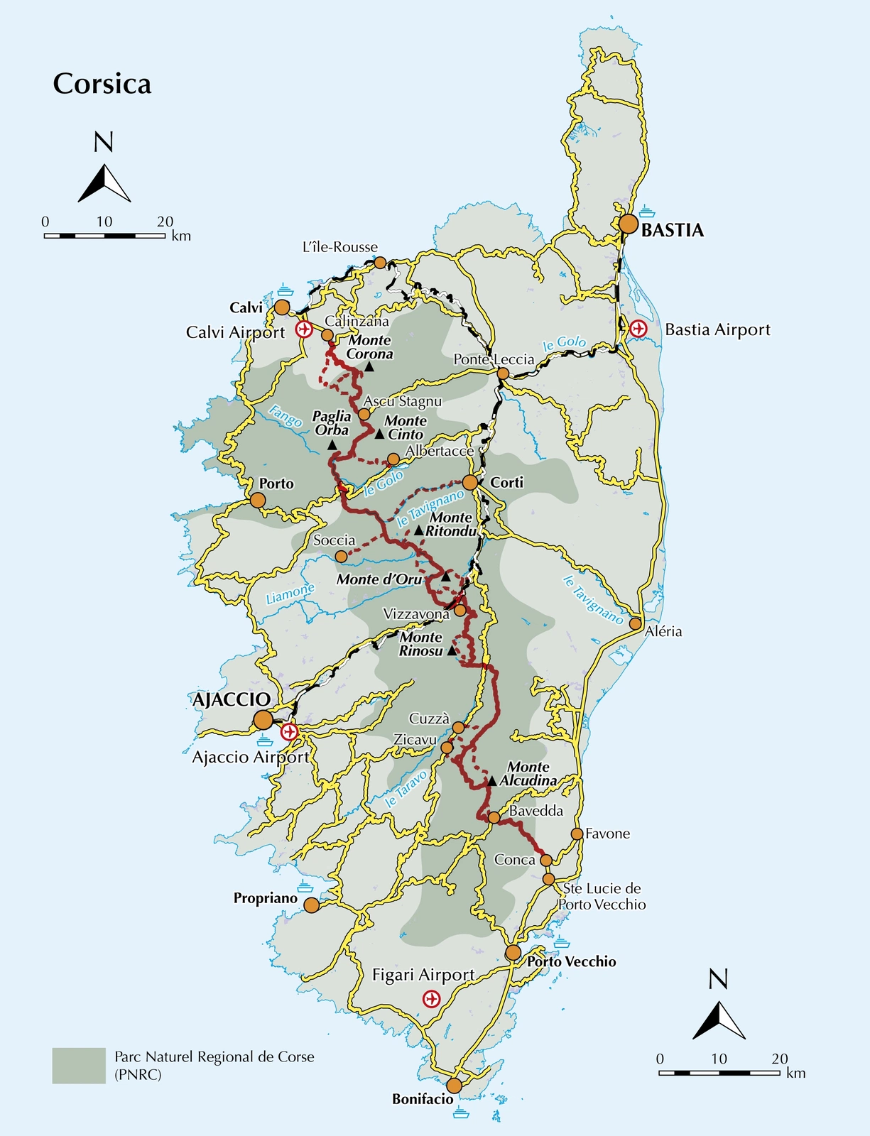
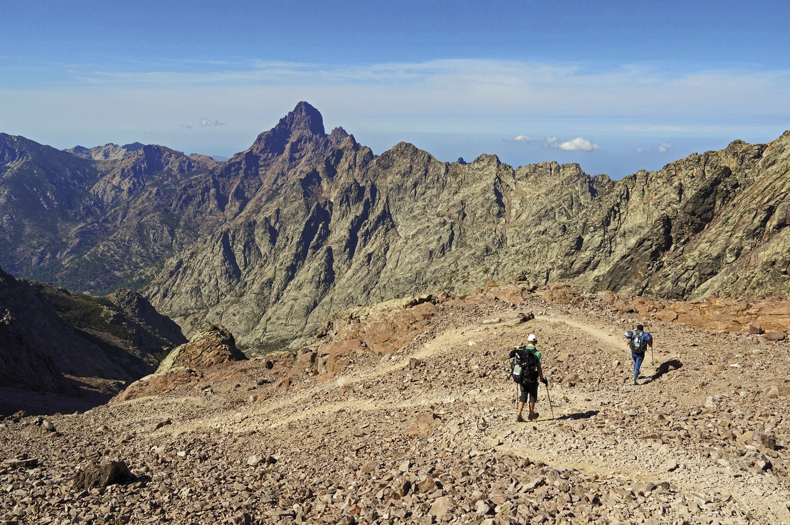
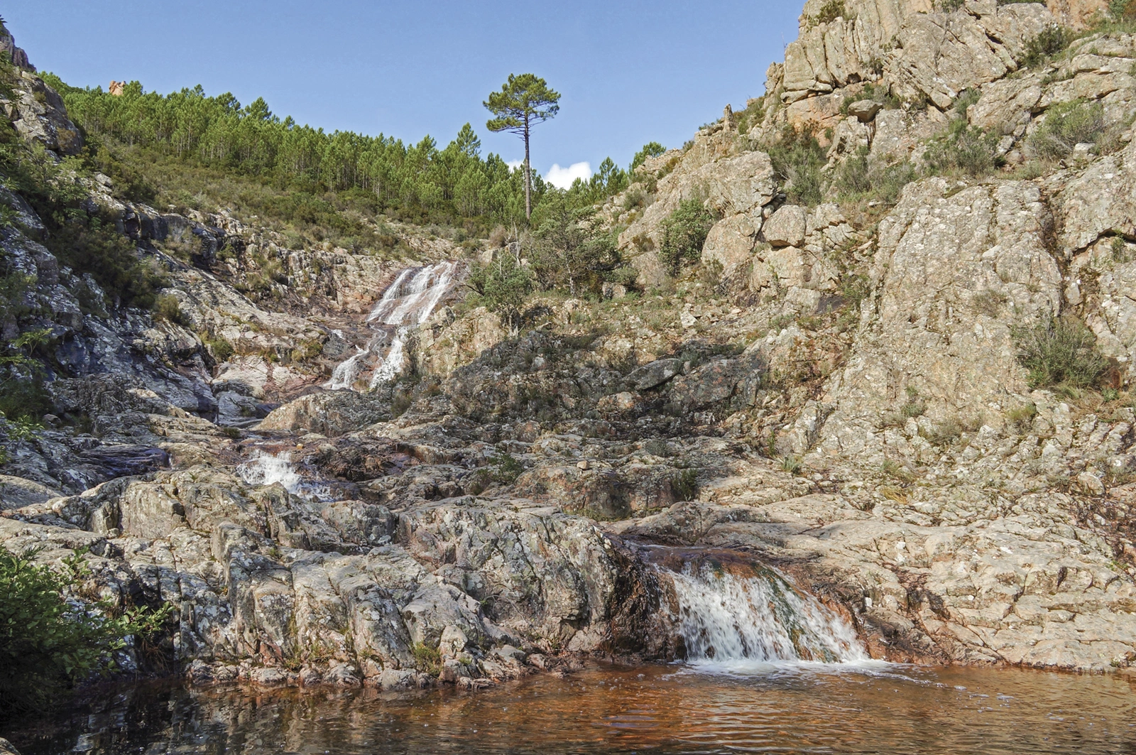
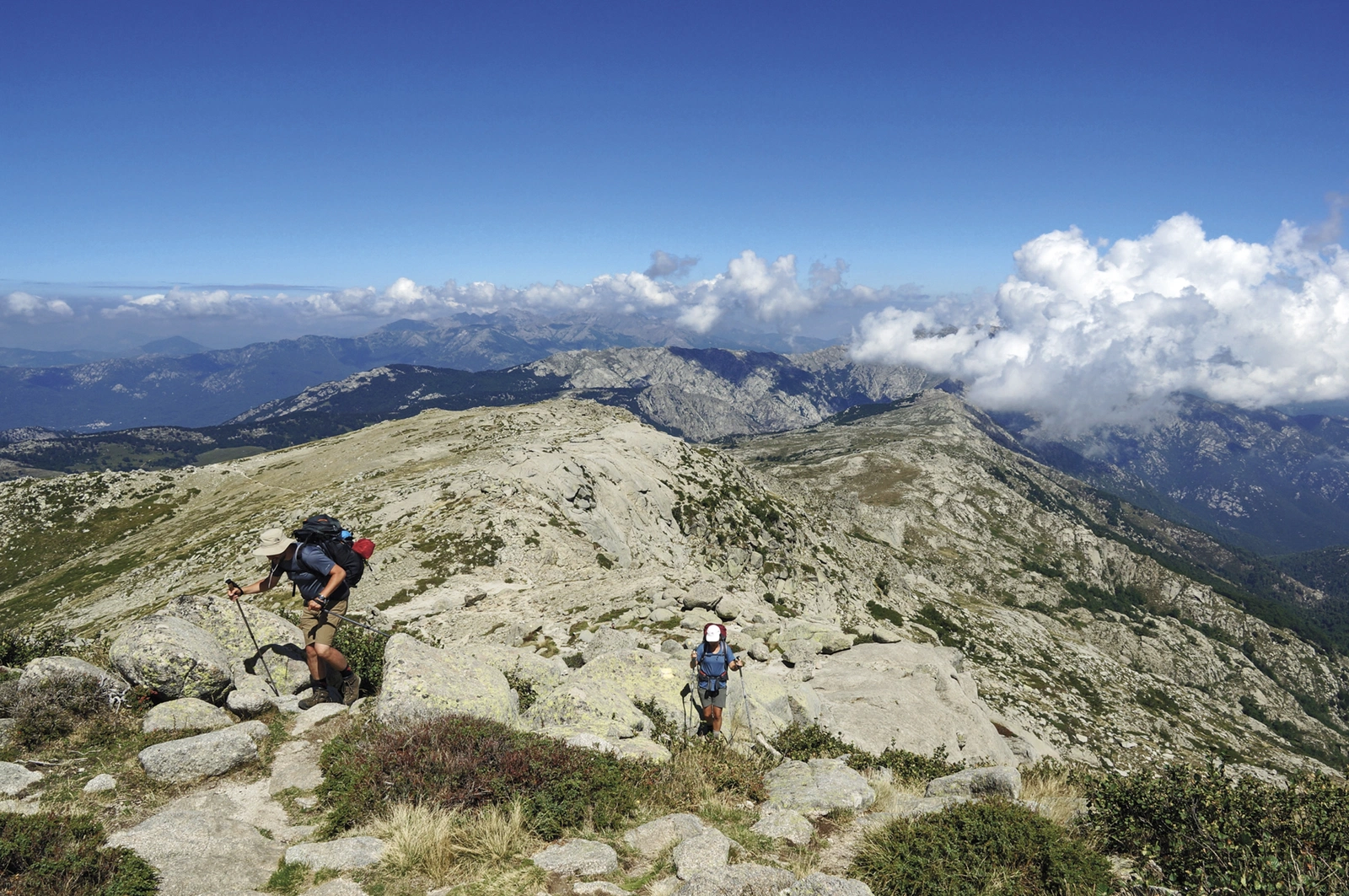
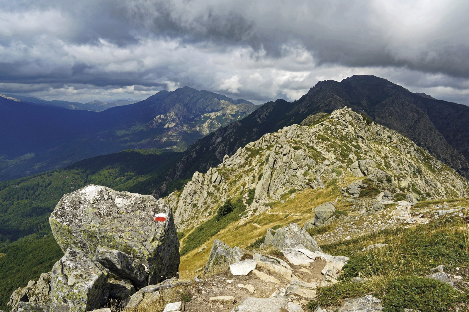
The GR20 follows Corsica’s rugged mountain spine from Calinzana to Conca. Granite ridges, passes and substantial ascent make it a serious trekking project. Paddy Dillon’s guide supports the complete crossing or a separate northern or southern half.
Routes and itinerary options
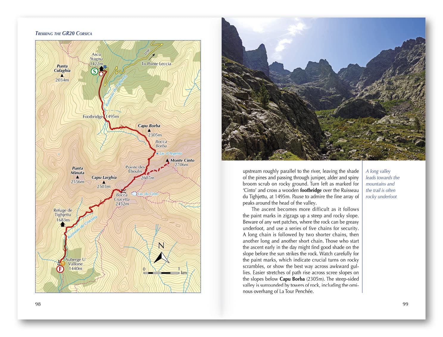
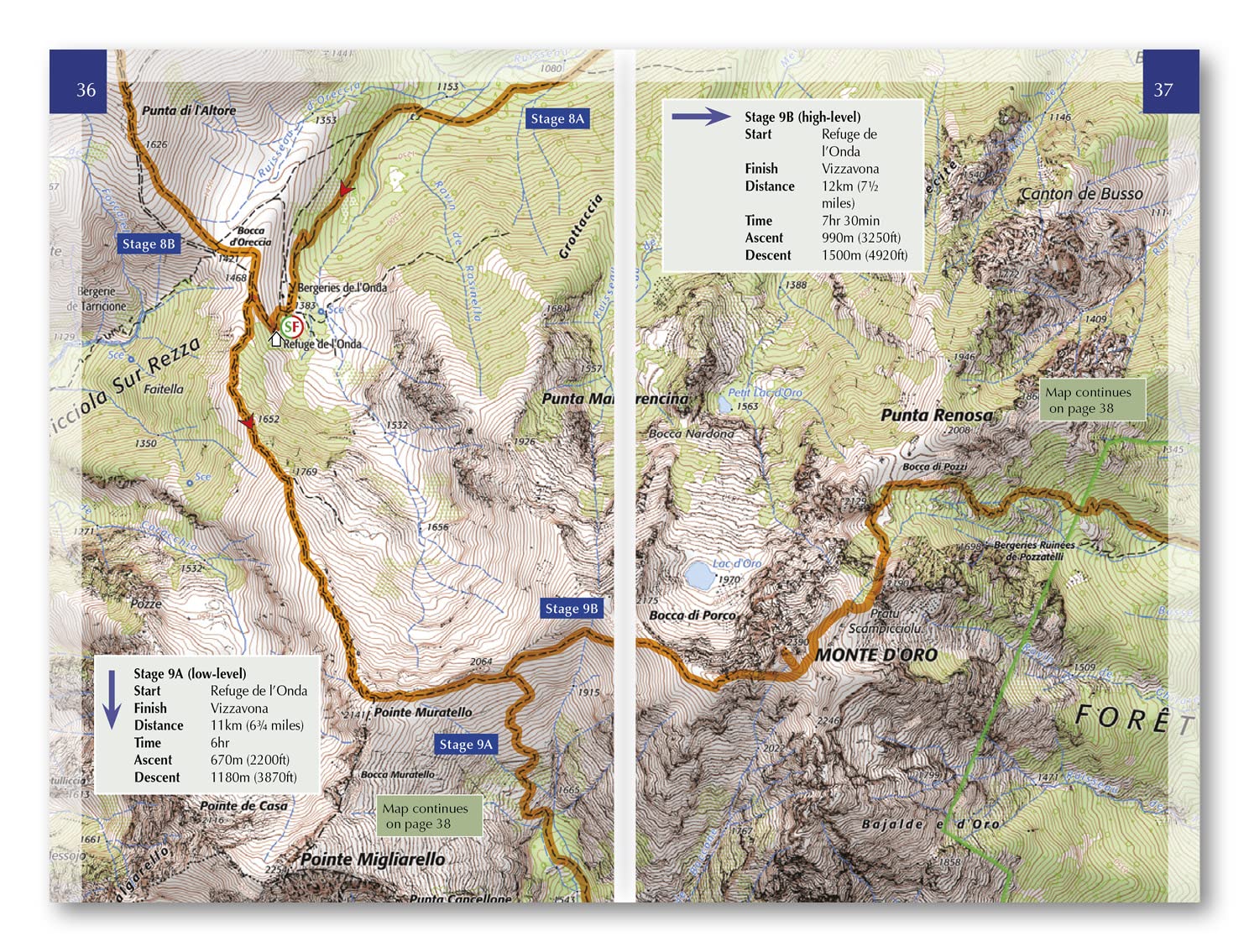
The approximately 190 kilometres are divided into 16 stages of around 5–20 kilometres. The north is especially rough and involves considerable scrambling, but the south also demands fitness and experience. Higher and lower alternatives on some sections help you assess distance against walking time.
Maps and practical planning
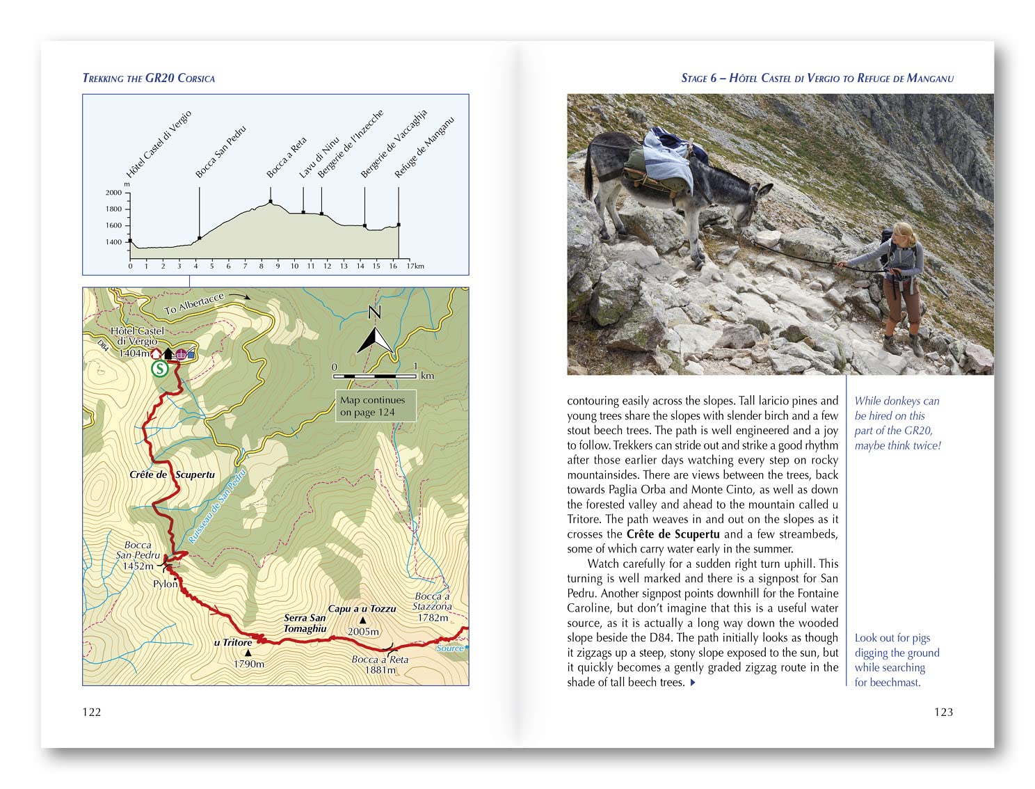
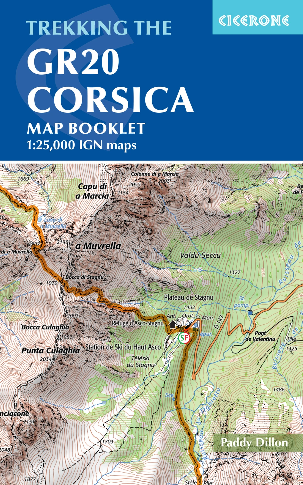
A separate booklet includes the entire route on 1:25,000 IGN mapping. Profiles, accommodation and facilities information, hut bookings, equipment and seasonal guidance support preparation. GPX files are available from Cicerone. Use the route information to compare stages, plan your stops and check practical arrangements before departure.
Choosing the right trip
Steep, exposed ground, scrambling, sustained effort and changeable mountain weather require experience. Check current hut bookings, openings and route changes before travel. Choose an itinerary that fits your experience and available time, allowing flexibility for weather and local conditions.
About this edition
English-language guidebook by Paddy Dillon. Fifth edition published in 2022, with subsequent reprints. 304 pages. Separate IGN map booklet included. ISBN 9781786310675.