
Description
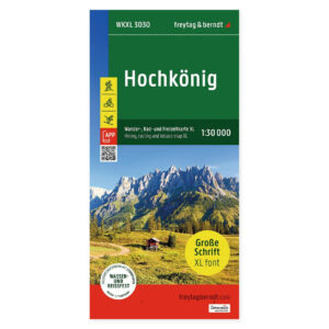
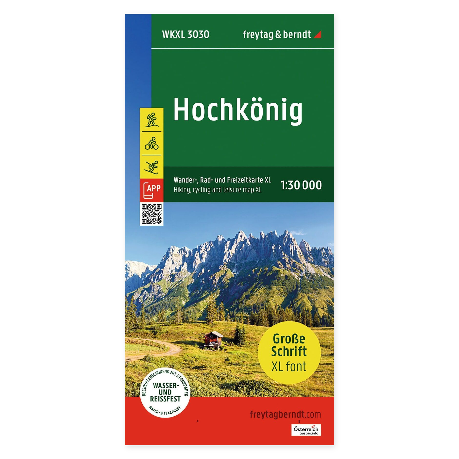
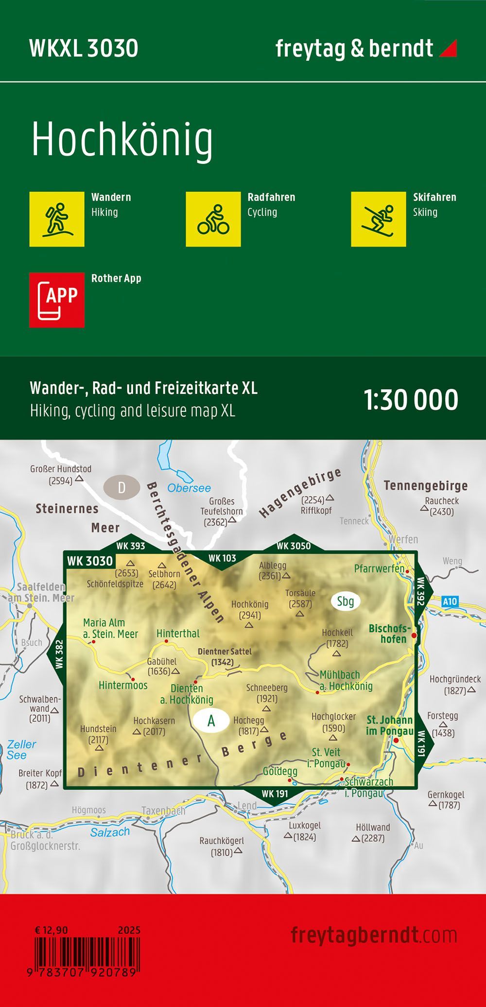
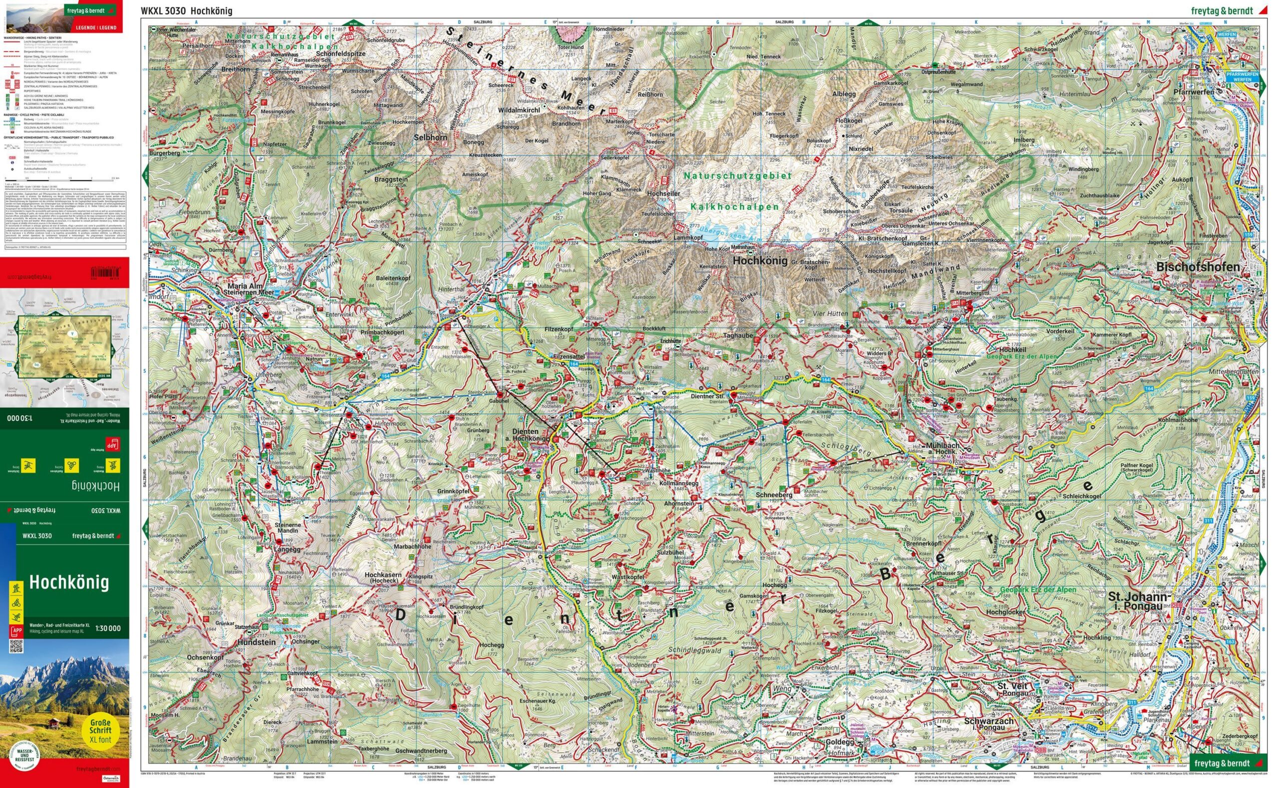
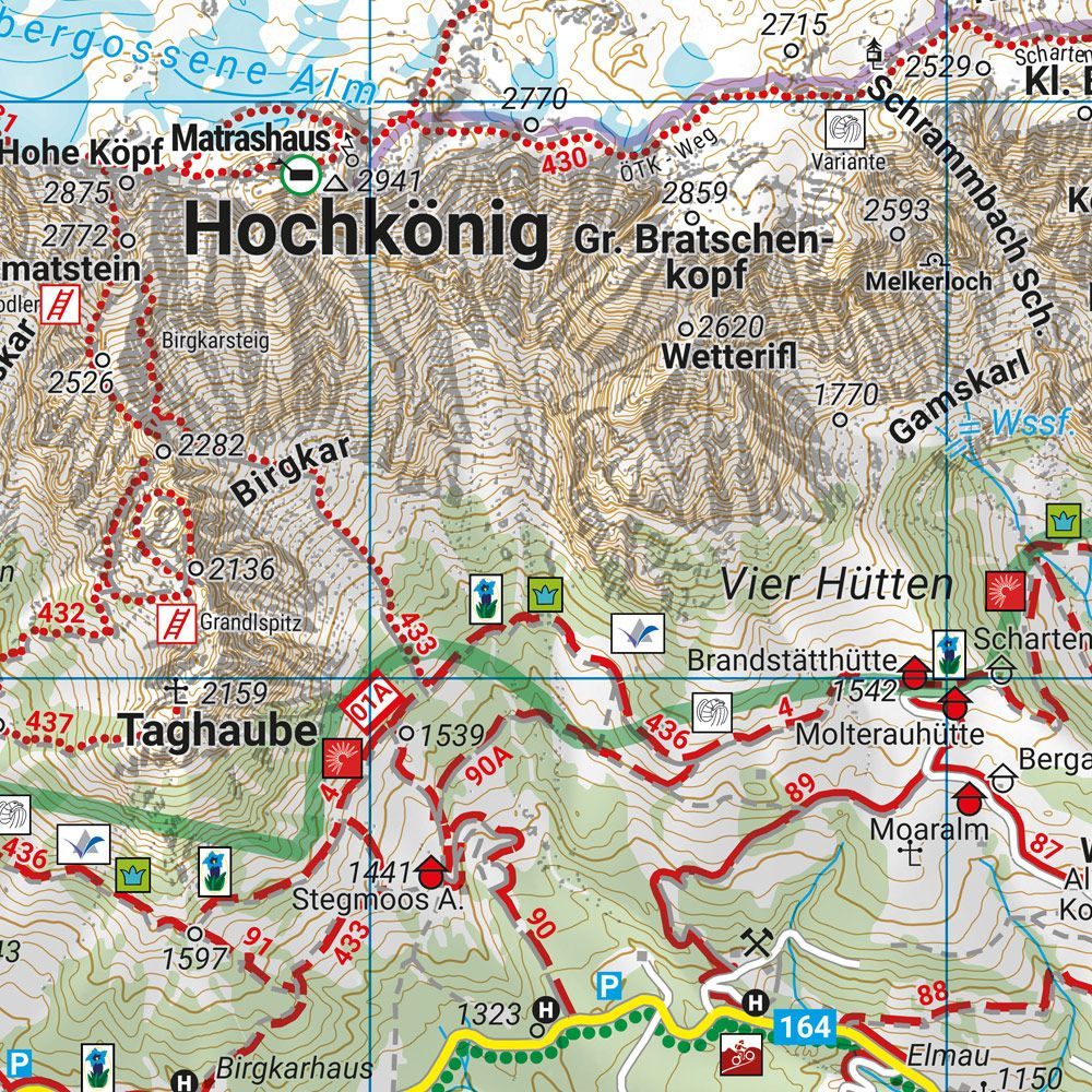
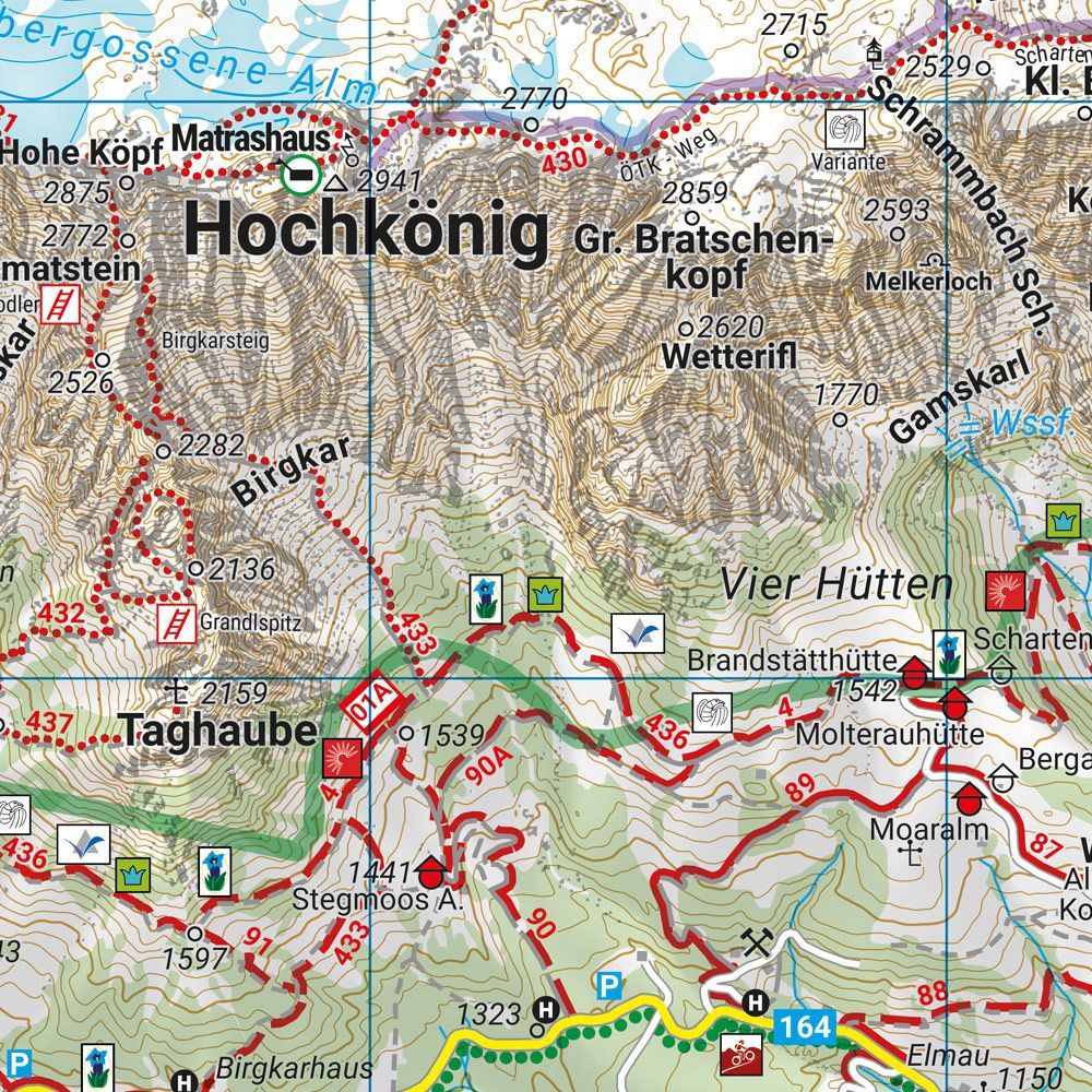
Hochkönig XL – hiking map (waterproof) at a scale of 1:30,000 provides a detailed basis for planning trips and finding your way around the area. The map can be used at home before departure and brought along to keep the geography close at hand on the go.
Hiking trails, long-distance paths, and cycling routes make the map useful for many types of outings. It also shows mountain bike routes, ski touring routes, and cross-country ski trails, giving you a complete picture of the outdoor opportunities in the area.
Waterproof and tear-resistant map with Rother App combines a paper map with a digital supplement from the publisher. The unfolded size is approximately 61 × 99 cm. The XL edition has extra-large print, making names and information easier to read.
See the whole journey at a glance. Use the paper map to find places you want to visit, compare the location of destinations, and discuss the trip plan with others. It’s handy when you want a bigger overview than a small screen can offer.
Practical information: Scale 1:30,000. Year of publication 2025. ISBN 9783707920789. Publisher Freytag & Berndt.