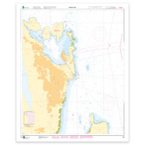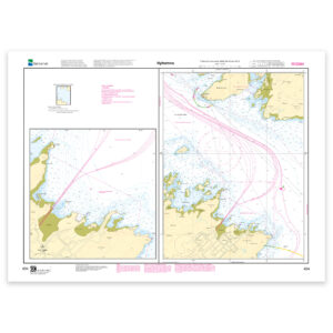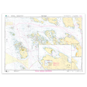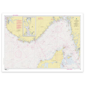
Description
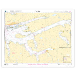
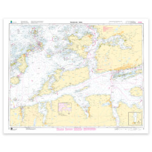
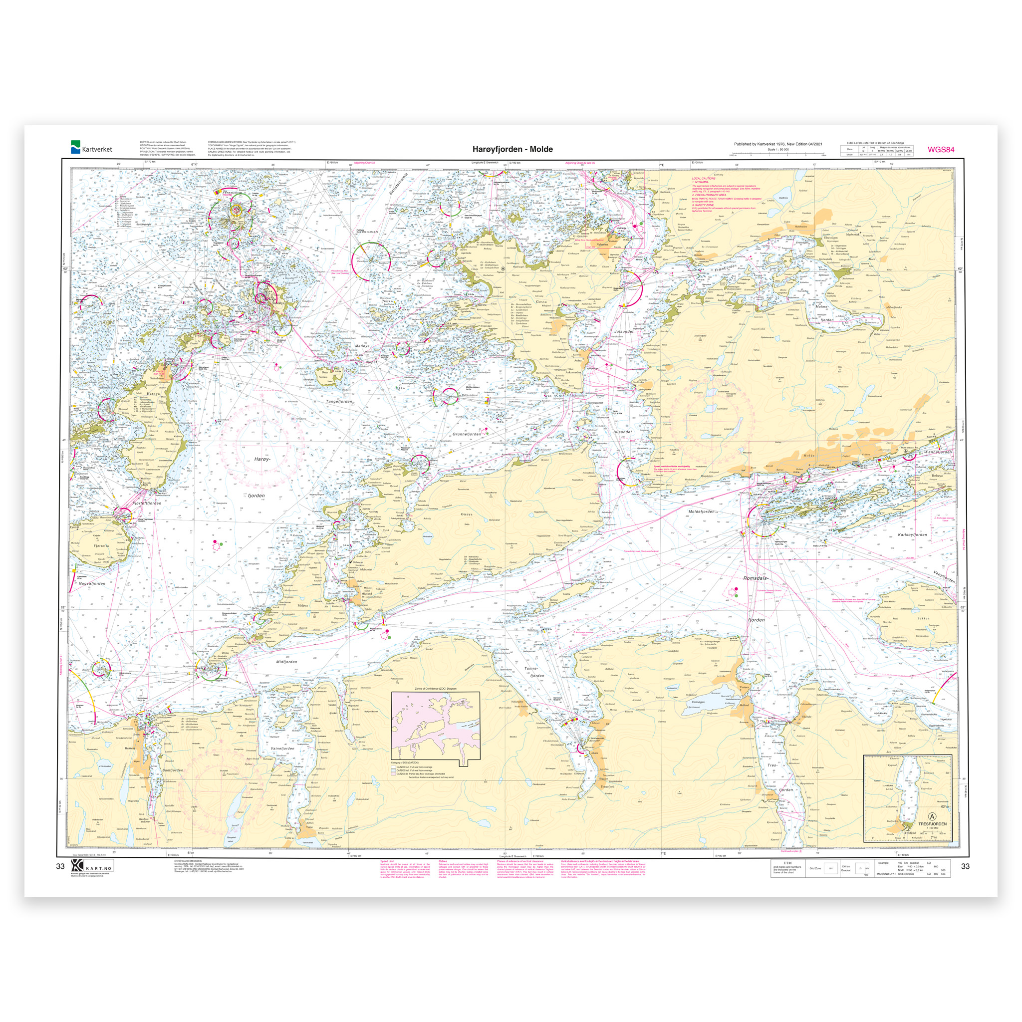
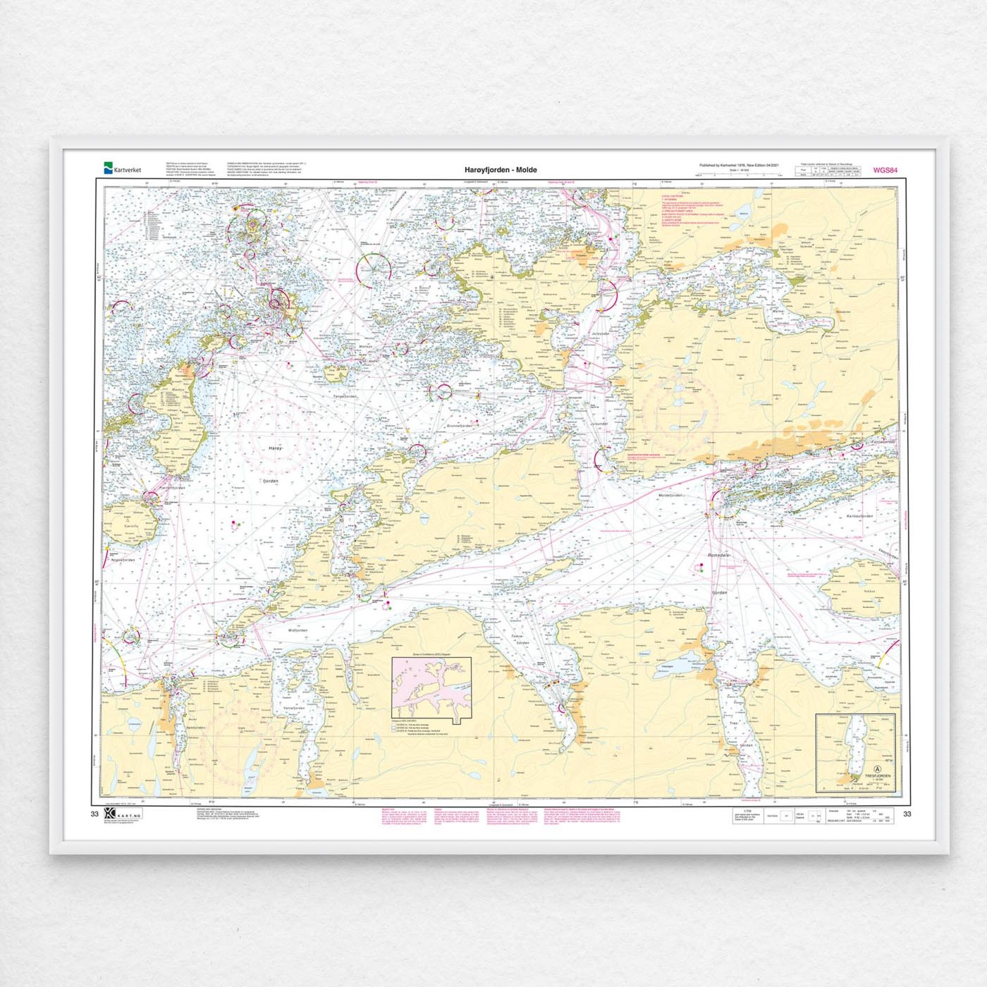
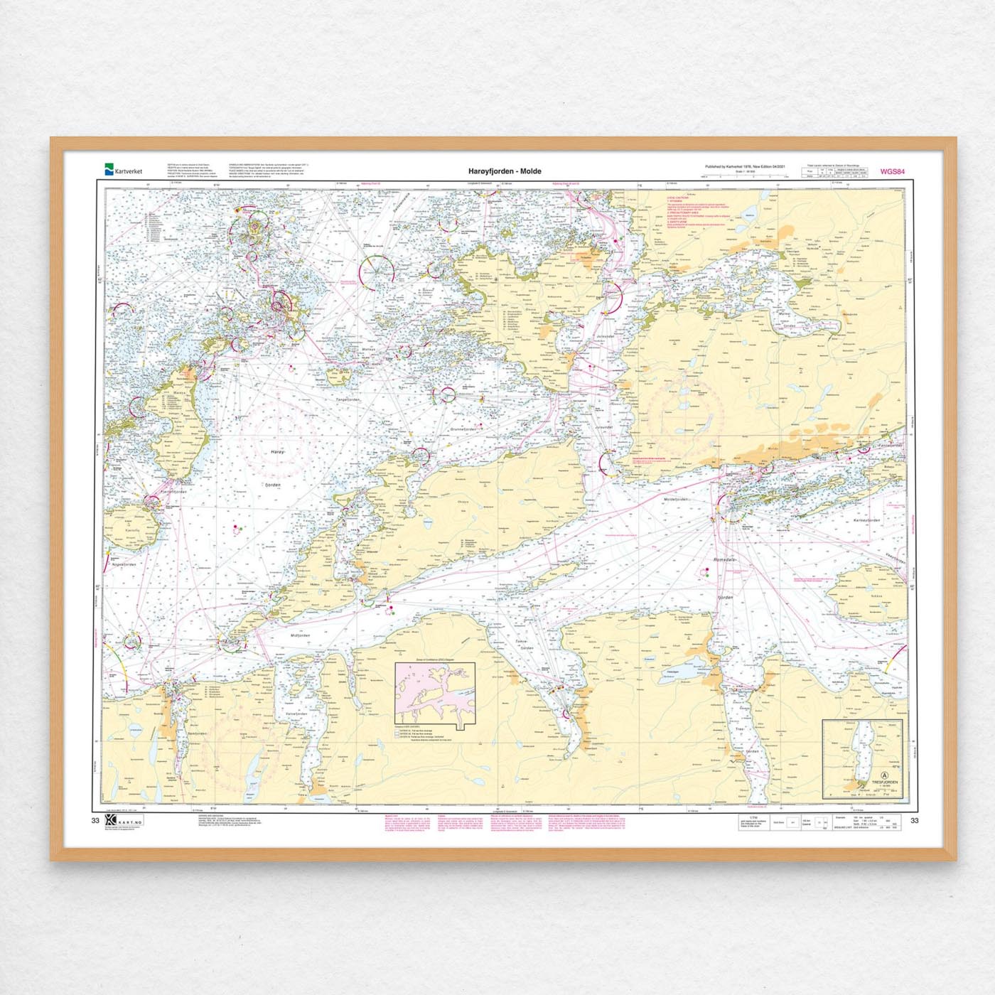
Nautical chart covering the waters Harøyfjorden – Molde. Map sheet 33 in the Norwegian Mapping Authority’s main map series. The map is 86 x 109 cm and has a scale of 1:50,000. Can also be delivered on a plate or framed. Size with passepartout and frame is 107 x 129 cm.
This is a detailed nautical chart of Harøyfjorden – Molde, well suited for both navigation, trip planning and overview on board. The coverage is particularly useful for those looking for nautical charts for this particular area, and who want a clear overview of local waters and nearby coastlines.
Map sheet 33 in the Norwegian Mapping Authority’s main map series. The map has a scale of 1:50,000 and size 86 x 109 cm. This nautical chart is produced when ordered, so you get a fresh edition with updated information from the Norwegian Mapping Authority.
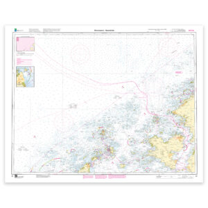
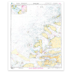
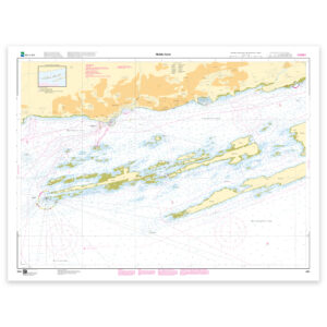
The nautical chart is based on official data from the Norwegian Mapping Authority and is designed for those who want quality, precision and up-to-date map information.
For many, 125-gram map paper is the right choice when the map is primarily intended as a backup, while 180-gram map paper is the best option for active navigation and notes along the way. For rougher conditions, there’s Tyvek, a water- and tear-resistant material that can withstand moisture and hard use. If you want the map to be wall-mounted or framed, cotton-based rag paper is an exclusive alternative with a beautiful structure and very long life.
The map can also be delivered framed, with passepartout, or mounted on aluminum plate. This makes it just as suitable for use as a wall map in your home, cabin or office. Size with passepartout and frame is 107 x 129 cm.