
Description
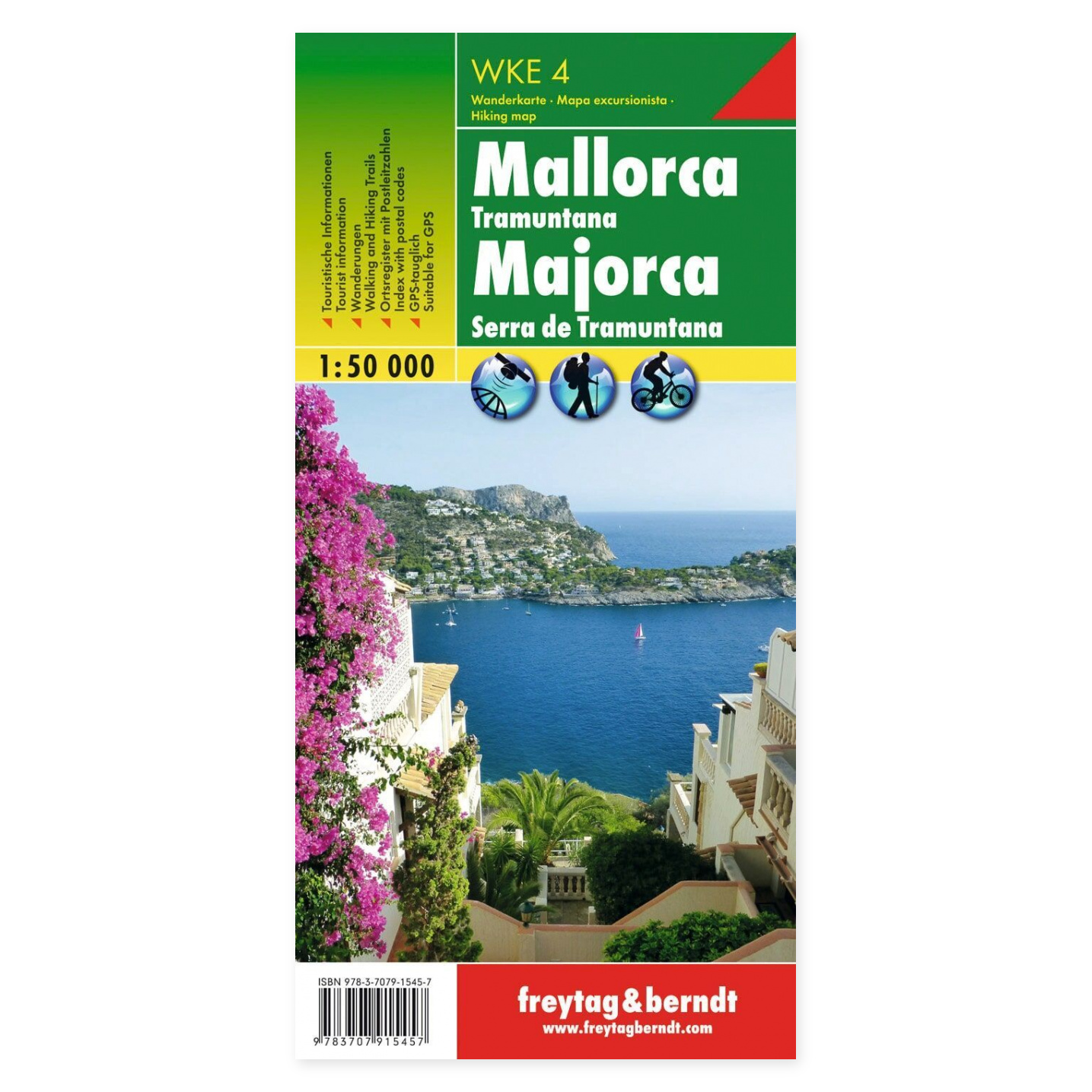
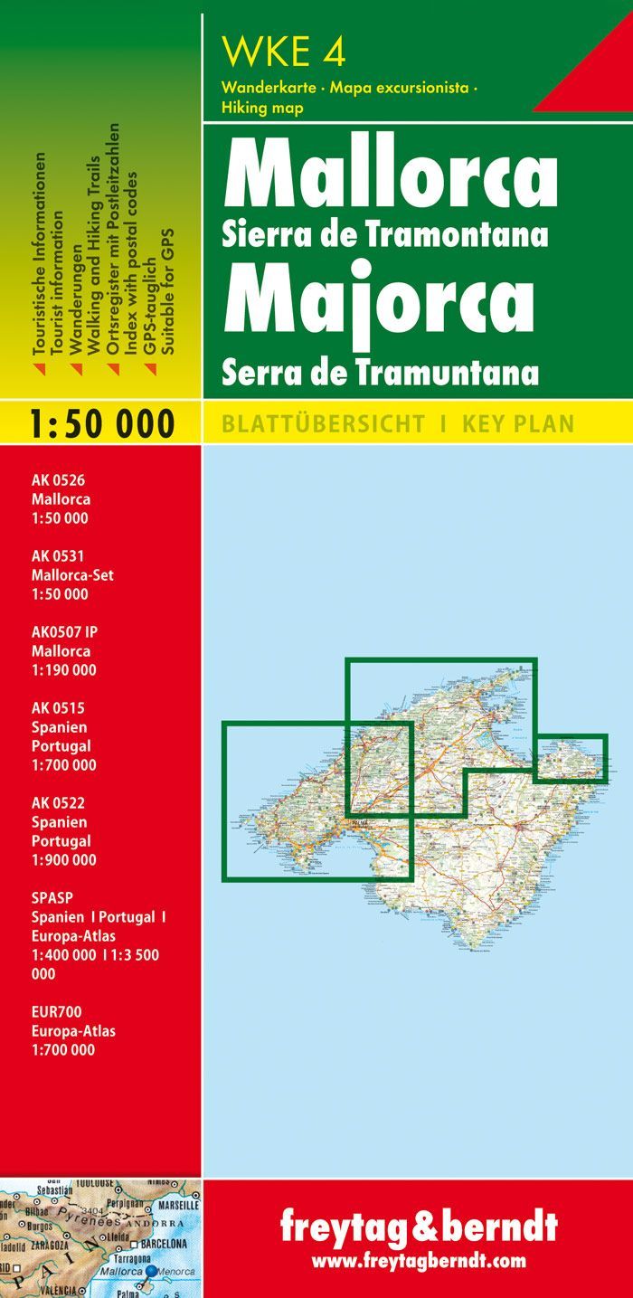
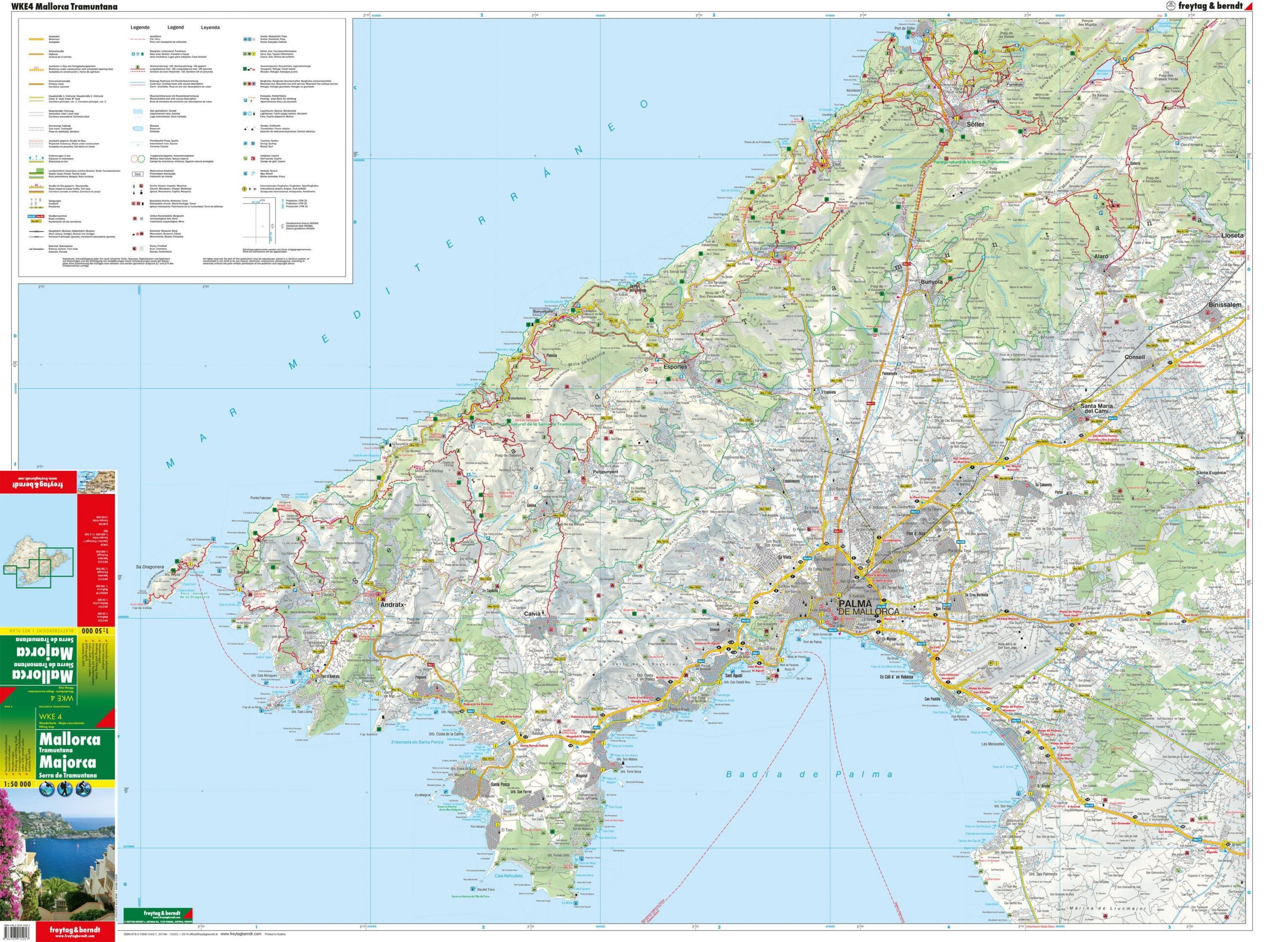
The Mallorca and Tramuntana hiking map at a scale of 1:50,000 is designed for hiking and excursion planning. The map displays hiking opportunities in Mallorca and the Tramuntana, including the GR 221 long-distance trail, known as the “Ruta de pedra en sec”. The included information booklet describes selected hiking and cycling routes and provides information on locations and leisure activities.
Marked hiking trails, cycling routes, and mountain bike trails make it easier to choose your destination and compare relevant route options. The map provides an overview that is useful both before departure and when following the route on paper.
The foldable paper map provides a comprehensive overview of the hiking area. It can be unfolded for joint planning and folded away when you need to carry it in your pack.
Practical information: Scale 1:50,000, which corresponds to 500 meters per centimeter on the map. Double-sided. Folded format 10 × 20.5 cm. Year of publication 2016. Publisher Freytag & Berndt.