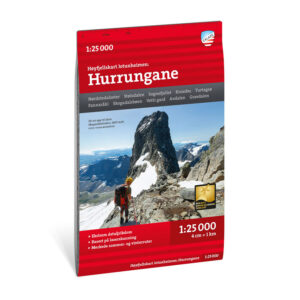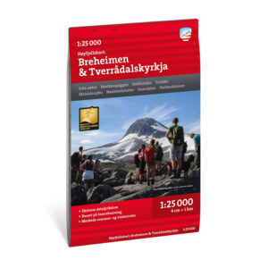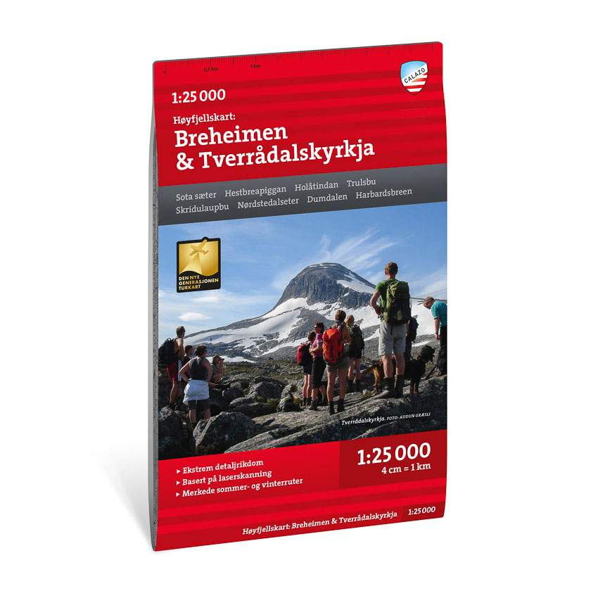


Description
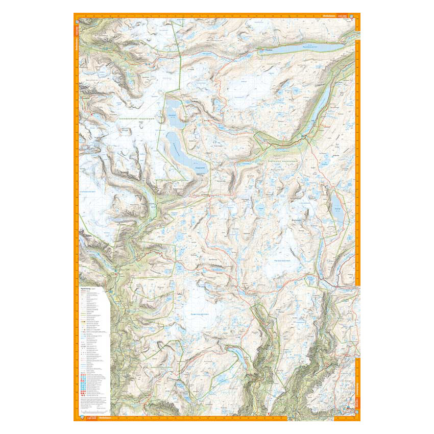
This high-mountain map covers Breheimen and the area around Tverrådalskyrkja, one of the most alpine and glaciated mountain areas in southern Norway. The map shows mountain ridges, glaciers, watercourses and terrain formations in great detail, and provides a solid basis for planning and carrying out trips in the high mountains.
The map contains a wide range of trails and route options, and is particularly suitable for summit hikes, glacier hikes and off-trail hikes. The detailed terrain presentation provides good support when choosing your own routes in varied and demanding terrain.
The map is at a scale of 1:25,000, which provides a very high level of detail. At this scale, 4 cm on the map corresponds to 1 km in the terrain, which makes the map particularly suitable for precise navigation in the high mountains.
The map is printed on durable and water-repellent material that can withstand active use in demanding conditions.
Calazo Förlag is a Swedish publishing house specializing in maps and books for outdoor life in the Nordic region.
Here you can see the area the map covers:
The map is released in 2023.