


Description
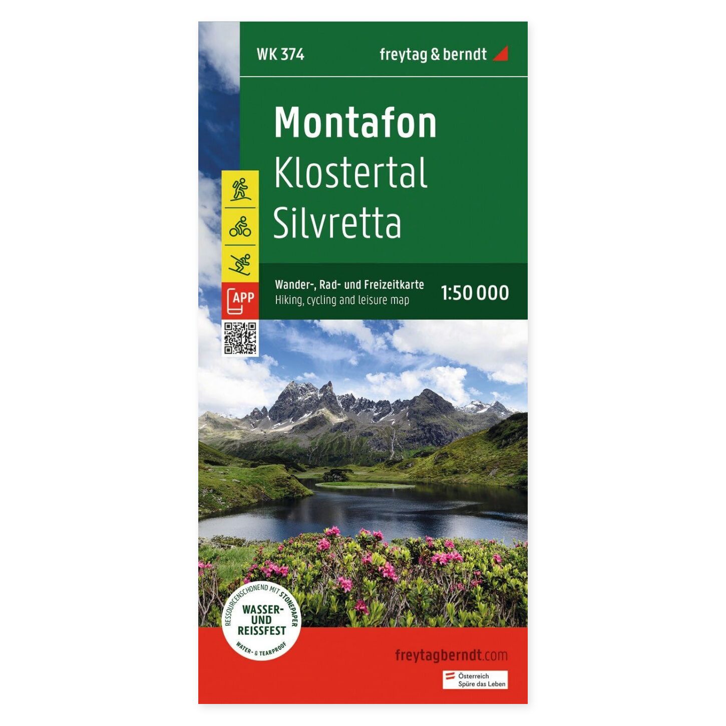
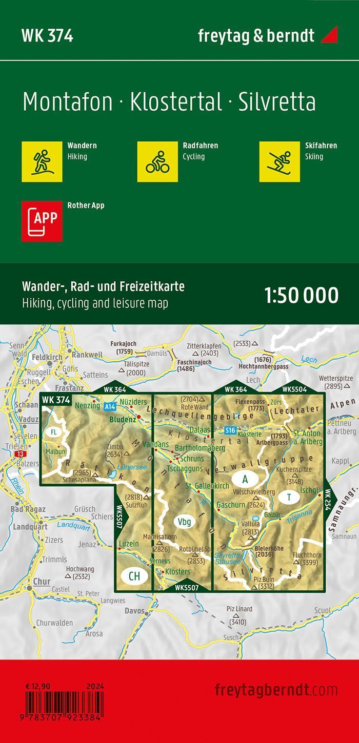
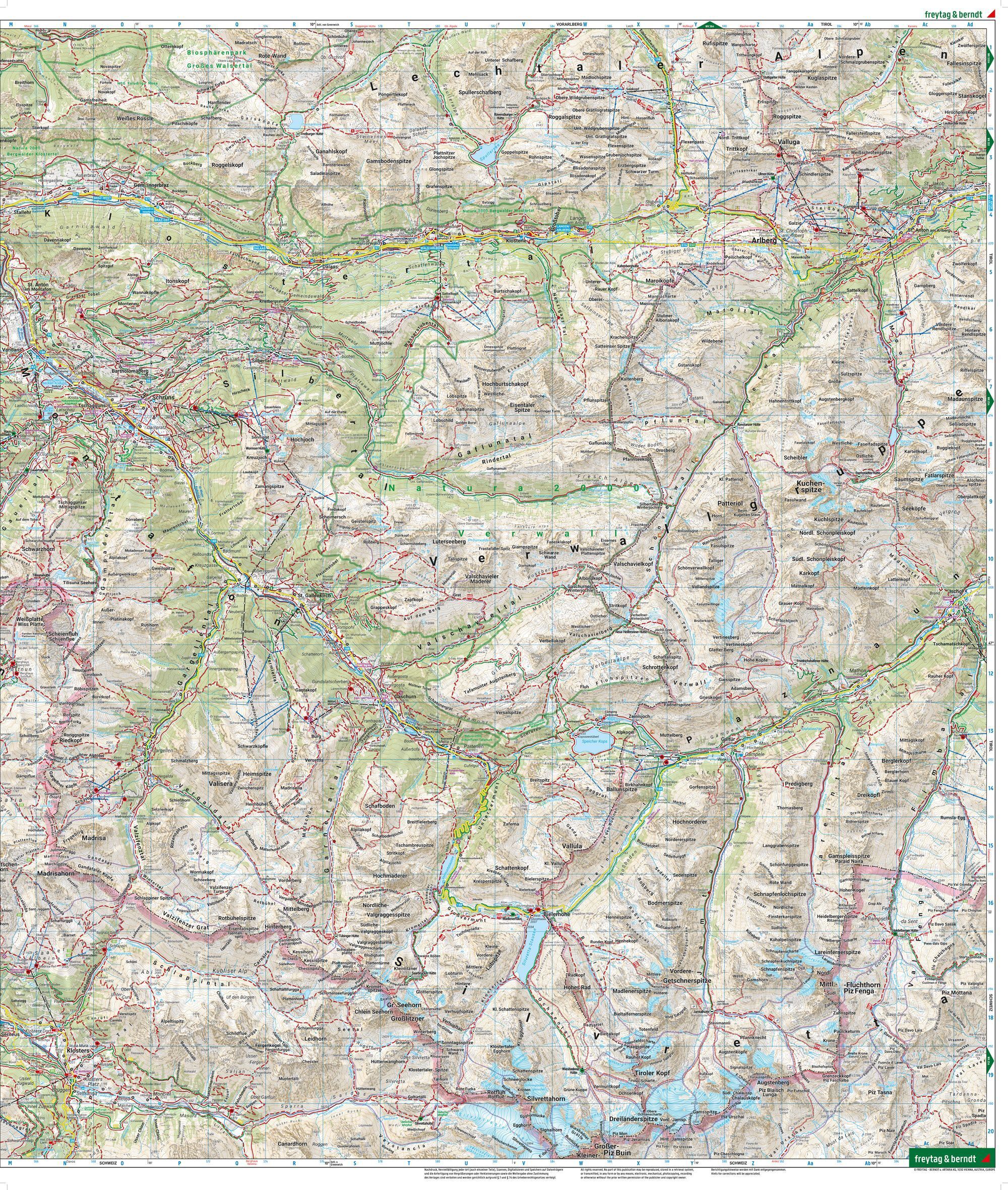
Montafon, Silvretta and Klostertal hiking map at a scale of 1:50,000 is designed for hiking and excursion planning. The map covers Montafon, Silvretta, and Klostertal, and is useful for planning trips from various locations in the area. The large map format makes it easy to see the connection between the relevant routes.
Marked hiking trails, cycling routes, and mountain biking routes make it easier to choose your destination and compare different route options. The map provides an overview that is practical both before departure and when you wish to follow the journey on paper.
Ski routes and cross-country trails are also included. This gives the map multiple uses throughout the year, making it useful for planning both summer and winter trips.
Waterproof and tear-resistant material makes the map well-suited for outdoor use. It can be unfolded for collective planning and folded back up when you need to carry it in your pack.
Digital map access via the Rother app complements the paper map. Please follow the information provided with the map for access and registration.
Practical information: Scale 1:50,000, which corresponds to 500 meters per centimeter on the map. Unfolded format approx. 82 × 90 cm. Double-sided. Publication year 2024. Publisher Freytag & Berndt.
