


 Narvik 1897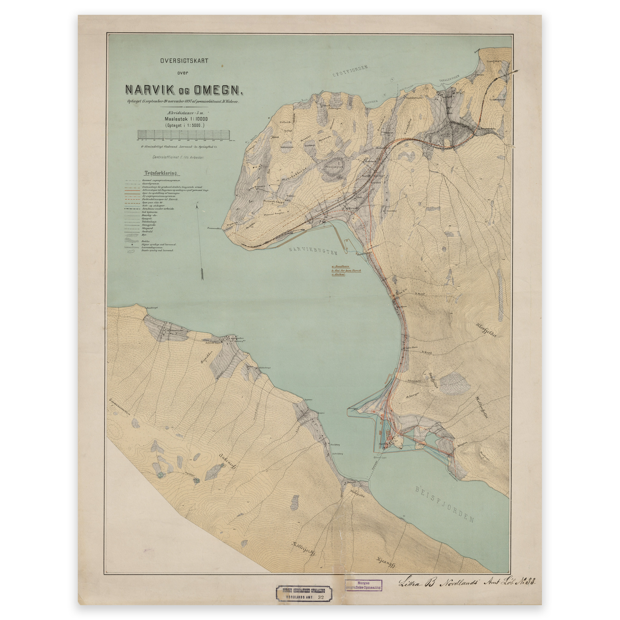
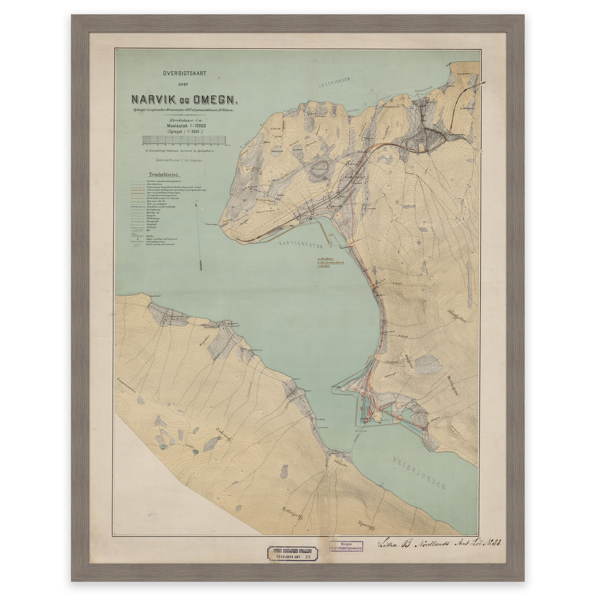
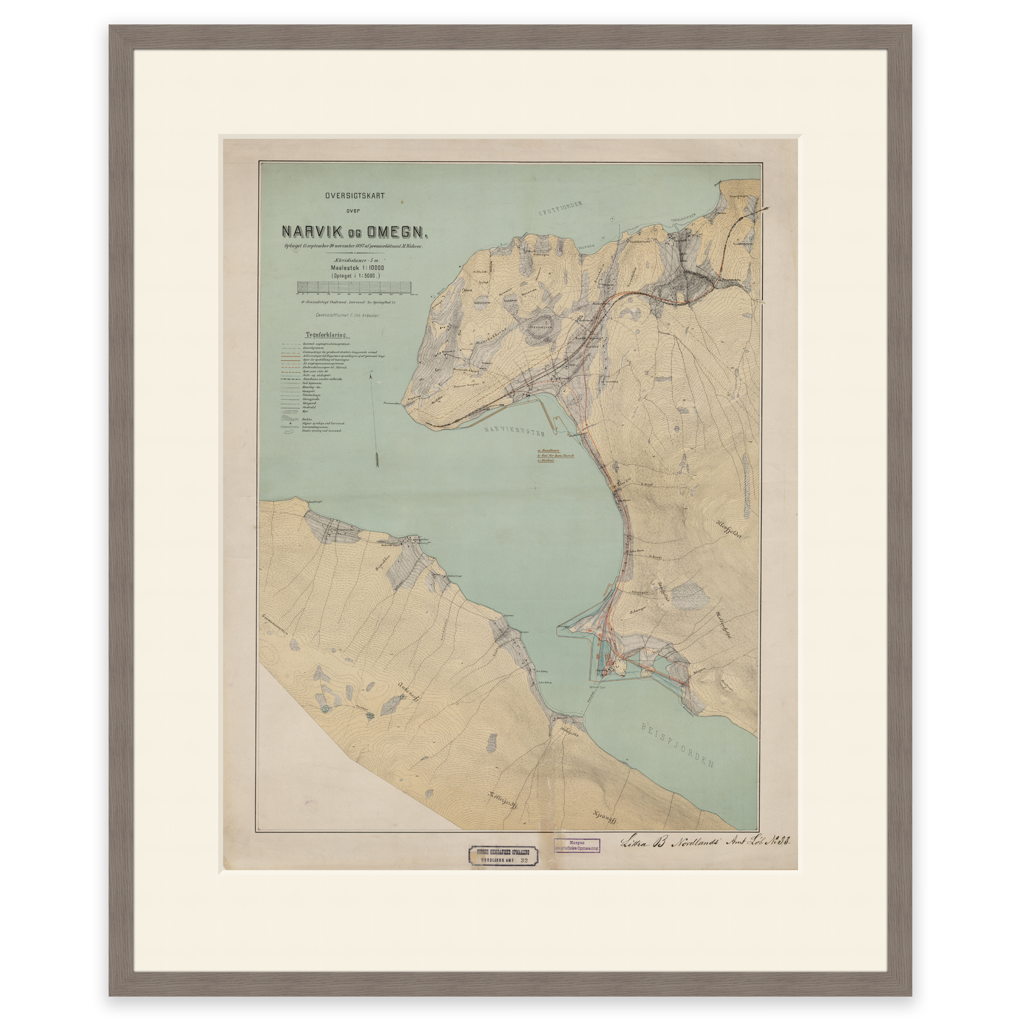
Narvik 1897
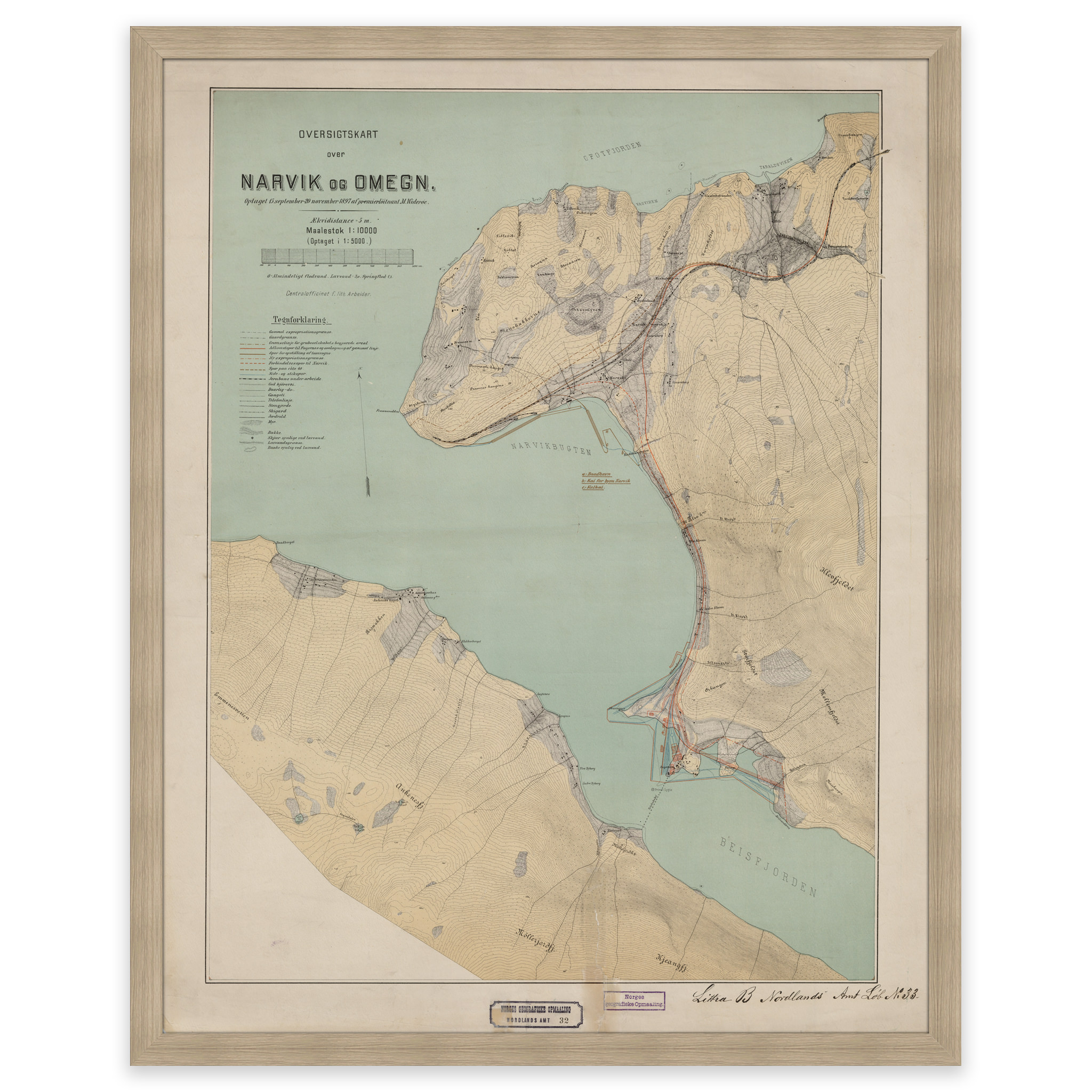
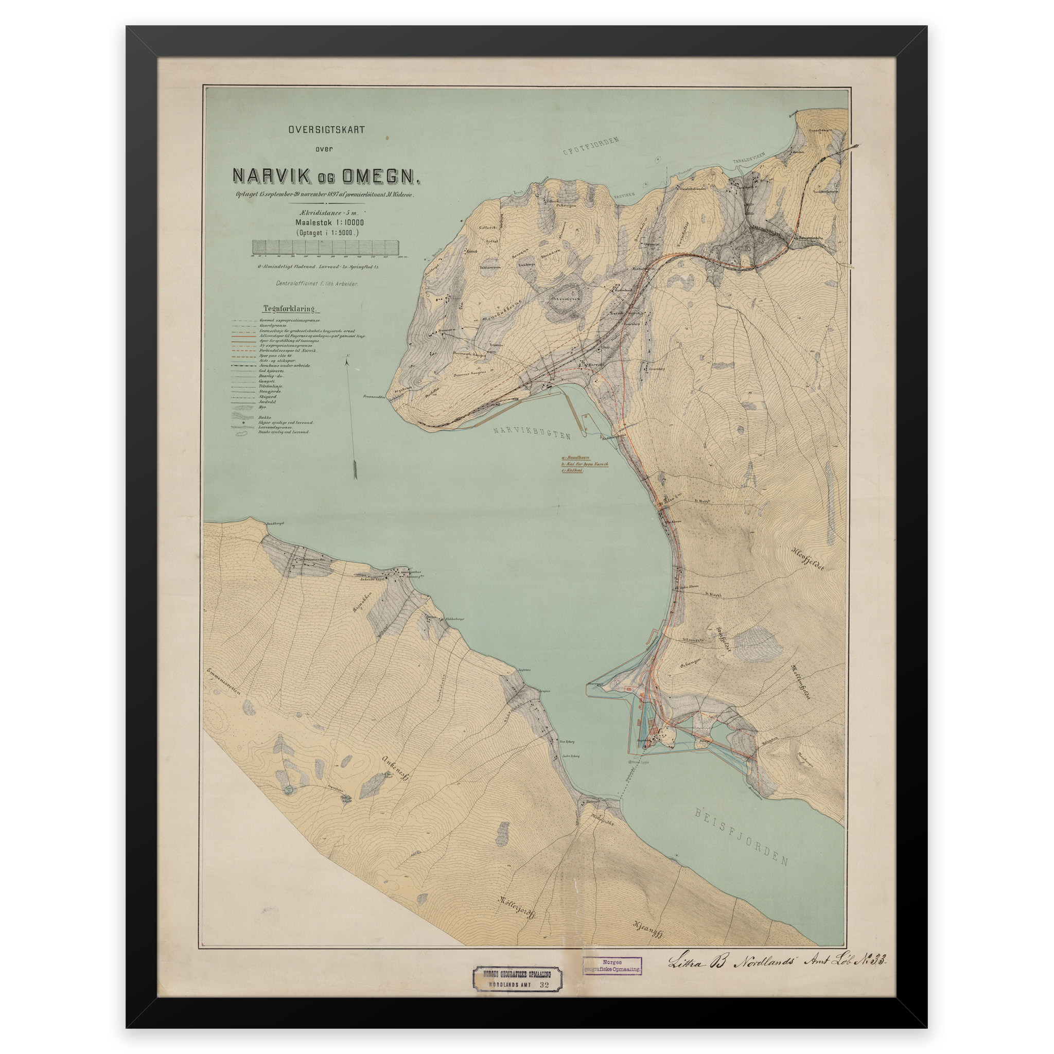
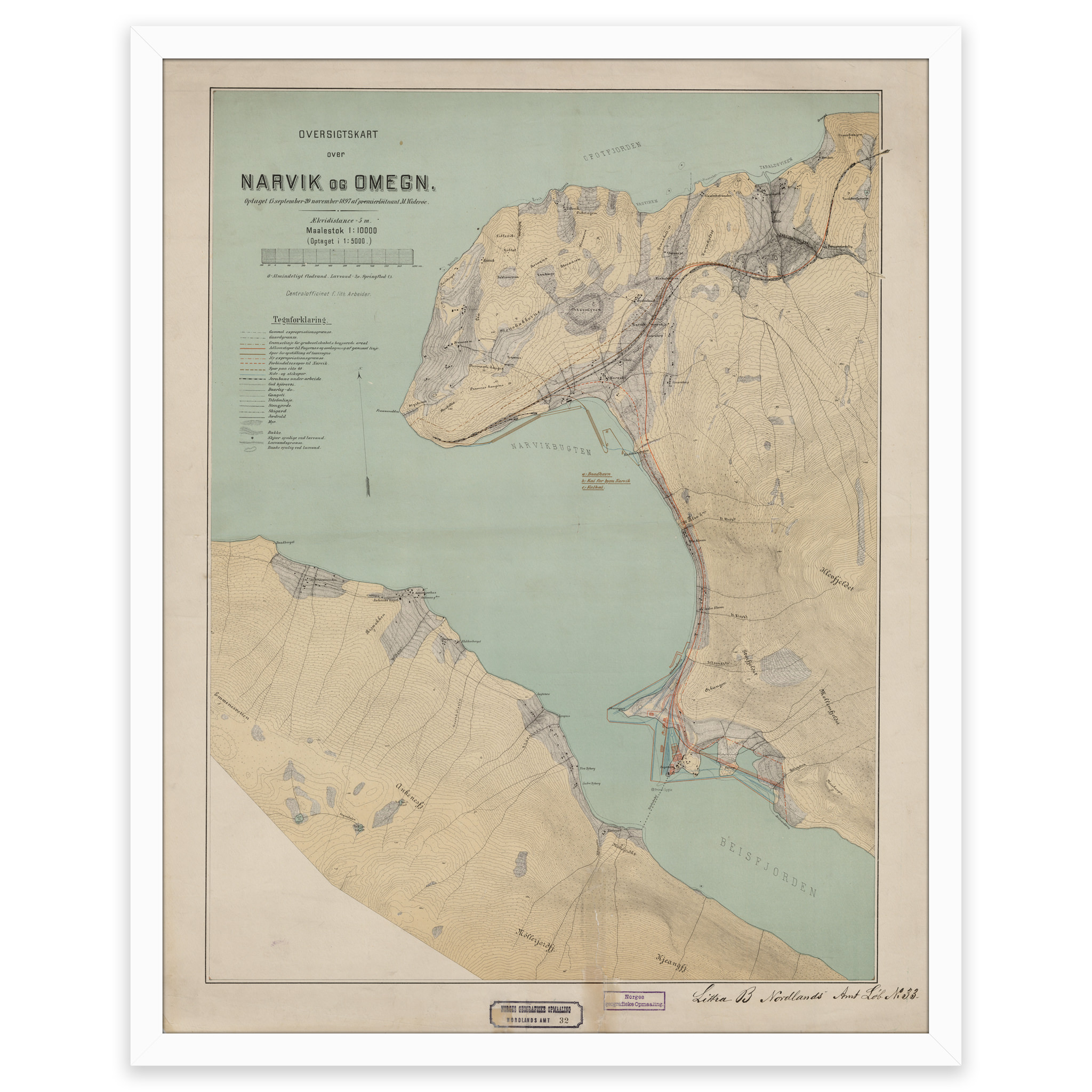
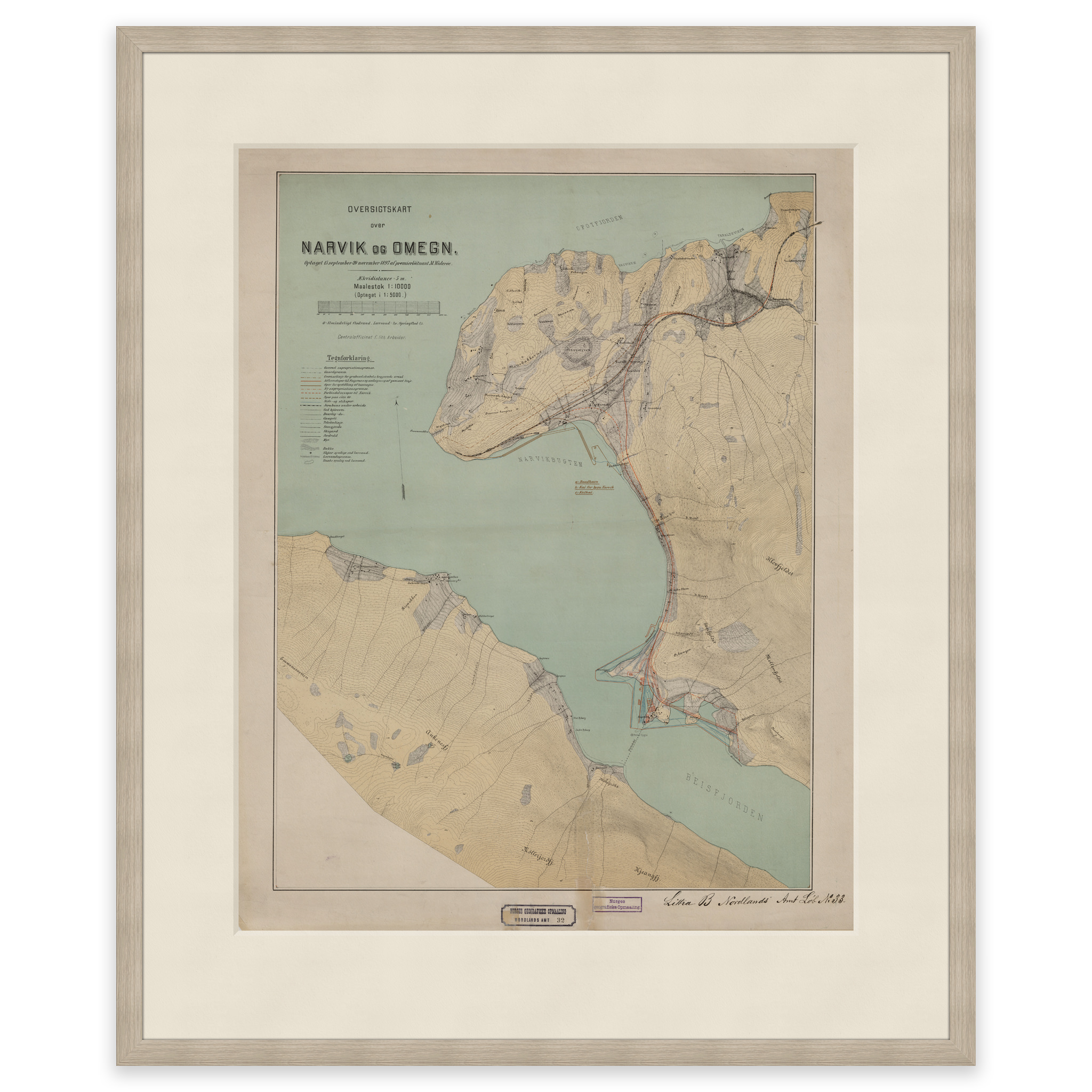
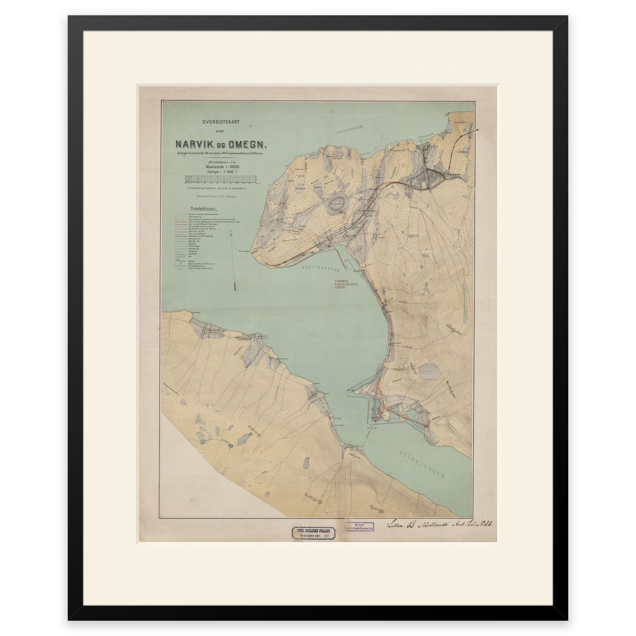
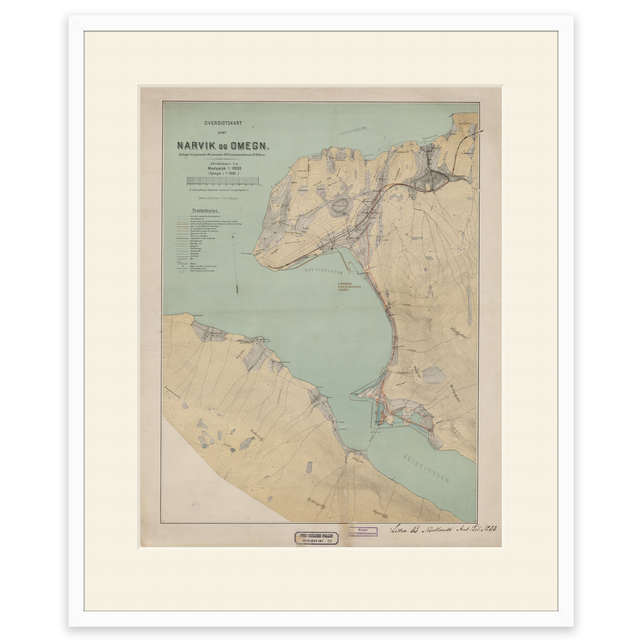
Map of Narvik and the outlet of Beisfjorden, made by M. Widerøe in 1897. The map is delivered in original size approximately 47 x 60 on this map. The map is delivered in original size 47.2 x 60.1 cm. The size with frame and passepartout is 65.2 x 79.1 cm. Would you like the map in a different size? Just get in touch – we’ll be happy to give you a quote for customization.

Recommended products
-
SaleIn stock

Primus Klunken Vacuum Bottle 0.5L Mint – Thermos
Original price was: 38,02 €.26,59 €Current price is: 26,59 €. Add to cart -
Classic world map with countries and capitals
From 0,00 €
Select options -
Norway map with updated county boundaries – stylish and detailed wall map
From 0,00 €
Select options