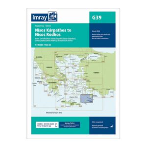
Description
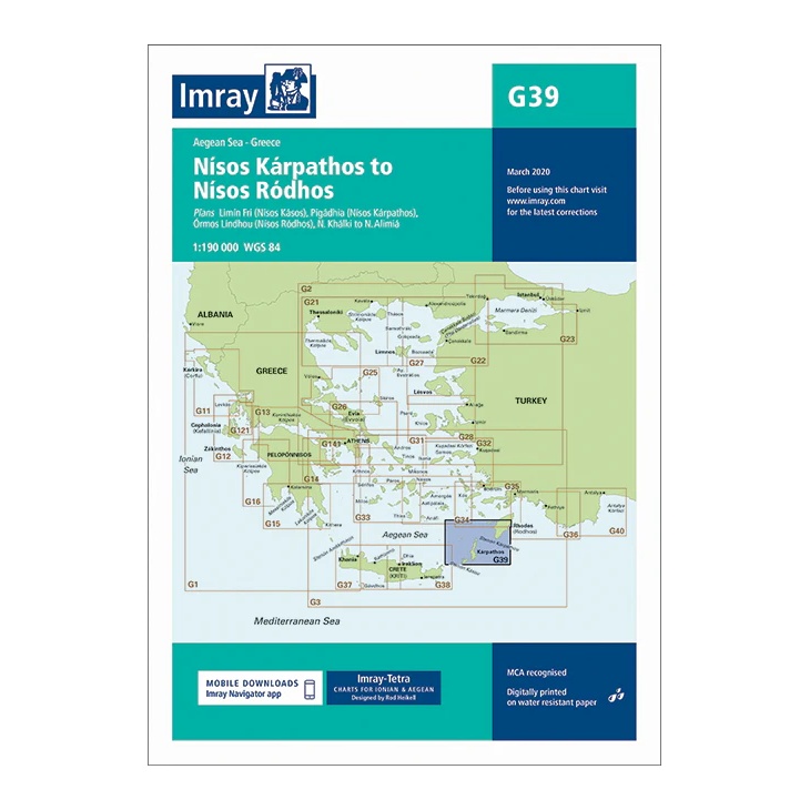
This overview chart from Imray covers the sailing area in the Aegean Sea between the islands of Kárpathos and Ródhos, in the southeastern part of Greece. It provides a regional overview of the connection between the Dodecanese and the southern Aegean islands, and is well suited for planning both coastal voyages and longer passages.
The map includes plan views and approaches to Límni (Kárpathos), Pigádia, Órmos Línou, Nísos Kásos, Khálki and Ródhos, among others, as well as the sailing routes between these islands. Developed for passage and route planning, it serves as an important complement to more detailed port and coastal charts in the Aegean.
Printed on water-resistant paper and manufactured to MCA approved standards, with support for digital updates via the Imray Navigator app.