Description
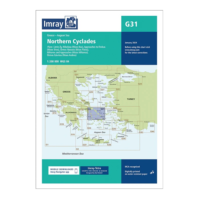
Covering the Northern Cyclades in the Aegean Sea, this overview chart from Imray provides a clear regional overview of a key and widely used sailing area in Greece. The chart is designed for planning both coastal sailing and island hopping between the main islands in the north of the Cyclades, as well as connections to nearby archipelagos.
The map includes plan views and approaches to Kéa, Kýthnos, Síros, Páros, Mýkonos, Ándros and adjacent waters. It serves as an important complement to more detailed harbor and coastal charts, and is particularly suitable for sailors operating in the central parts of the Cyclades or planning legs towards the Athens area.
Printed on water-resistant paper and manufactured to MCA approved standards, with support for digital updates via the Imray Navigator app.