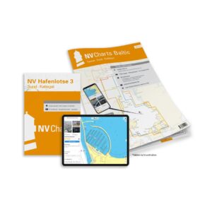
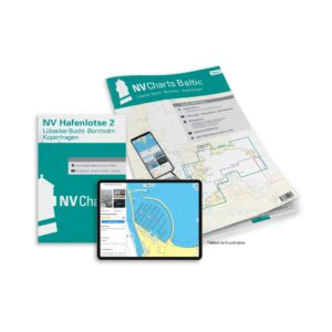
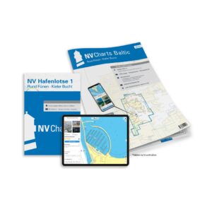
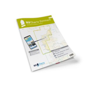
Description
NV Charts Denmark Series 9 Hirtshals-Esbjerg & Limfjorden is a complete chart package with both paper charts and digital nautical charts for the Danish west coast from Hirtshals to Esbjerg and the Limfjord. The charts are based on official hydrographic data and provide detailed navigational information on coastline, approaches, harbors and shipping lanes, suitable for planning and safe navigation along Danish coasts.
The package includes paper charts in convenient atlas format (A3), combined with digital access via the NV Charts app and PC/Mac. The digital charts can be used offline and activated on up to 5 devices, giving you flexible access both on board and ashore.
Characteristics
Paper map in A3 atlas format with good overview and details.
Digital access via NV Charts (app + PC/Mac) with offline use.
Detailed map basis for sailing, approaches, port calls and Danish waters.
Map overview
DK9 Hirtshals to Esbjerg (1:250 000).
DK9A Limfjorden in more detail (1:100 000).
DK9B Hirtshals harbor (1:25 000).
DK9C Thyborøn canal (1:50 000).
DK9D Vesterhavet – Blaavandshuk (1:500 000).
Updates
Always delivered in the latest available edition from NV Charts. If a new and updated edition is launched within 30 days of purchase, the map can be exchanged for a new edition free of charge.
EAN / ISBN
9783910644205