Description
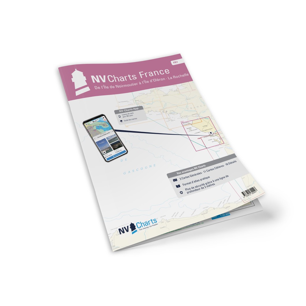
NV Charts France FR7 Noirmoutier-Oleron-La Rochelle is a complete chart package of paper and digital charts covering the French Atlantic coast between Île de Noirmoutier in the northwest and Oleron & La Rochelle further south. The charts provide detailed navigational information on water conditions, approaches, coral reefs, tides, ports, sailing routes and anchorages along this varied coastal area.
The chart set comes in atlas format with clear and concise cartography, combined with digital access via the NV Charts app and PC/Mac. The digital charts can be used offline, so you have access to up-to-date navigation data both when planning at home and when sailing.
Features
Paper charts in atlas format with high level of detail and good overview.
Digital access via the NV Charts app with offline use on multiple devices.
Detailed navigation information for the waters between Noirmoutier, Oleron and La Rochelle.
Harbour plans, approaches, tidal information and anchorages along the coast.
Map overview
The chart set covers the waters along the west coast of France from Île de Noirmoutier and south past Oléron to La Rochelle and surrounding areas. The charts support navigation between islands, straits, bays and harbors and provide good support for both coastal sailing and longer crossings in this area.
Updates
Always delivered in the latest available edition from NV Charts. If a new and updated edition is launched within 30 days of purchase, the map can be exchanged for a new edition free of charge.
EAN / ISBN
9783910644427