
Description
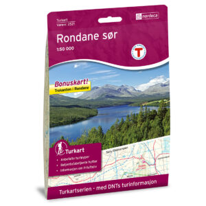
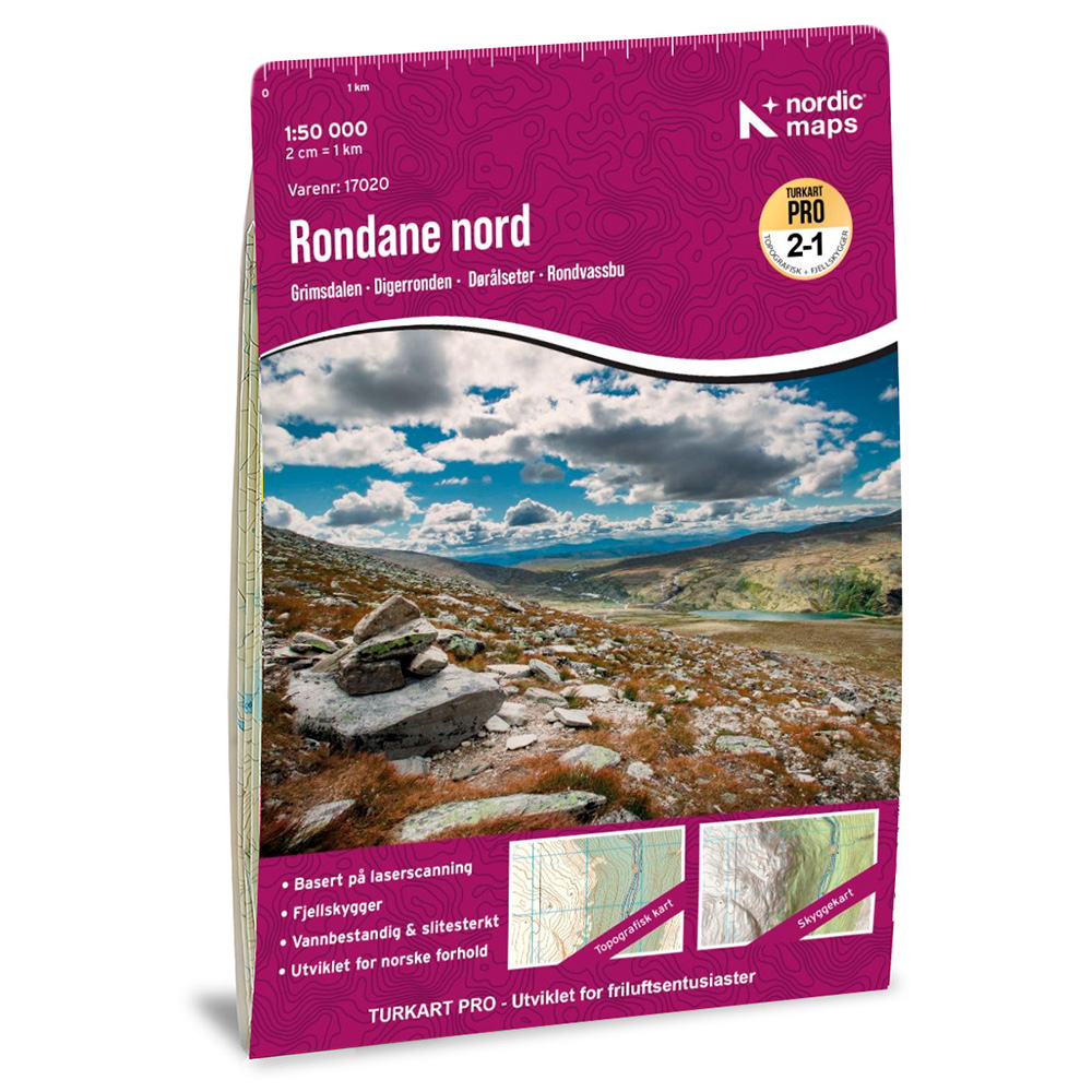
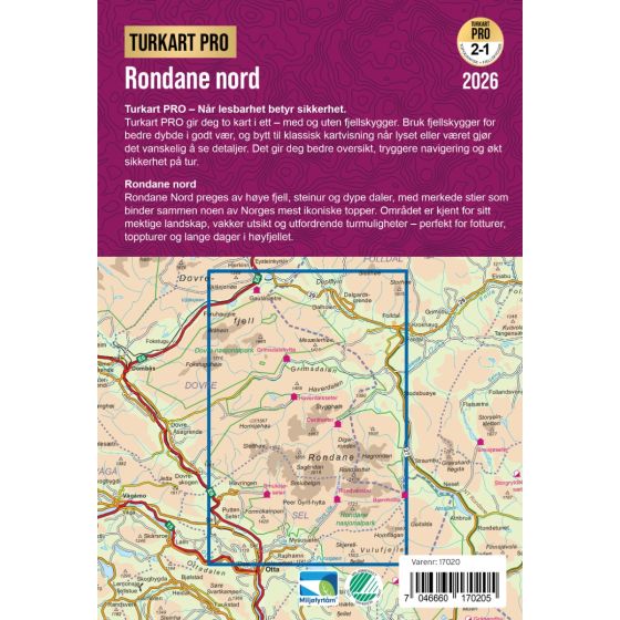
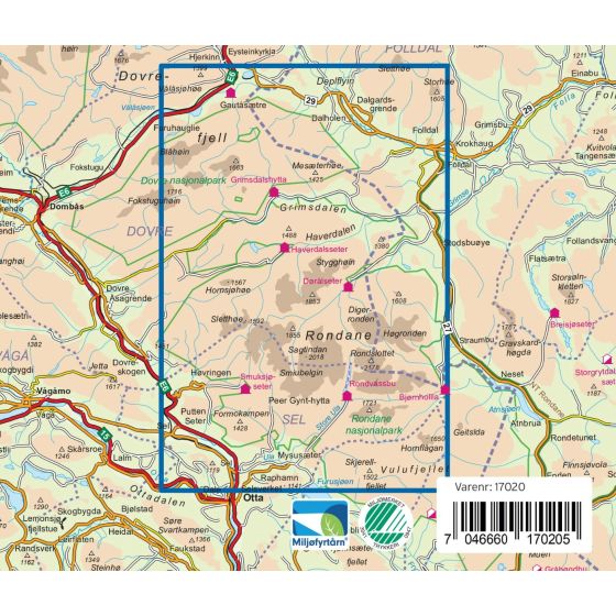
This map covers the Rondane Nord area and is developed by Nordic Maps (formerly Nordeca) in collaboration with and approved by the Norwegian Trekking Association (DNT). The map provides a clear representation of terrain, trails, and key geographical elements, and is adapted for hiking and planning in Norwegian conditions.
DNT Hiking Maps have for decades been the first choice for hikers, and are known for excellent readability, thoughtful design, and practical information tailored for active outdoor life.
DNT information is printed on the back of the map, providing useful tips and practical advice relevant to the area.
The map is printed at a scale of nan on water-resistant and durable map paper. The publication year for this map is 2016.
DNT Hiking Maps are developed to be easy to read and practical to use on trips, combining reliable map data with local DNT knowledge and recommendations.