Description
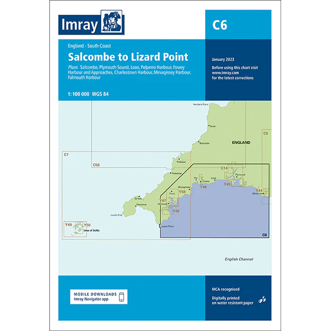
This boating chart covers the stretch from Salcombe to Lizard Point along the south coast of England, including key ports and inlets in Devon and Cornwall. The chart has been developed for recreational boating and sailing navigation in an area that combines sheltered bays, open stretches of coastline and some of the busiest ports on England’s south coast.
The chart provides an overview of coastlines, headlands, bays and central approaches, and is well suited to route planning and overview navigation for both coastal voyages and longer passages. It is often used in combination with more detailed harbor and local charts for safe navigation in an area heavily influenced by tides and weather conditions in the English Channel.
Imray is a renowned British chart manufacturer with extensive experience in nautical charts and publications for leisure boats. Their charts are designed with practical on-board use in mind, combining clear cartography with reliable nautical information for sailors and powerboaters.