Description
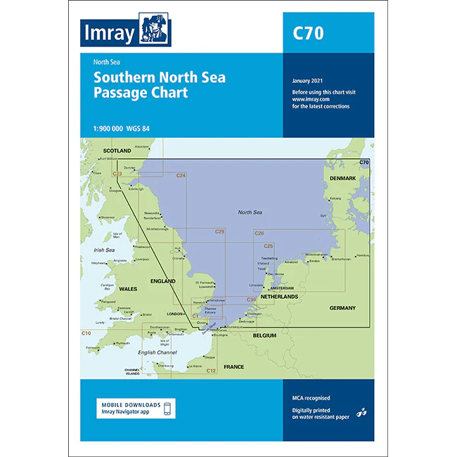
This boating map provides a comprehensive overview of the southern North Sea and has been developed for route planning and navigation by leisure boat and sailboat between the UK and continental Europe. The chart covers the coastal areas of England, the Netherlands, Belgium, Germany and Denmark, as well as associated open sea areas in the North Sea.
The chart is particularly suitable for planning longer crossings and passages, and is often used as an overview chart in combination with more detailed coastal and harbor charts. It provides a clear picture of geographical contexts, distances and overall sailing routes in an area characterized by traffic, weather and open seas.
Imray is a renowned British chart manufacturer with extensive experience in nautical charts and publications for leisure boats. Their charts are designed with practical on-board use in mind, combining clear cartography with reliable nautical information for sailors and powerboaters.