Description
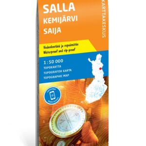
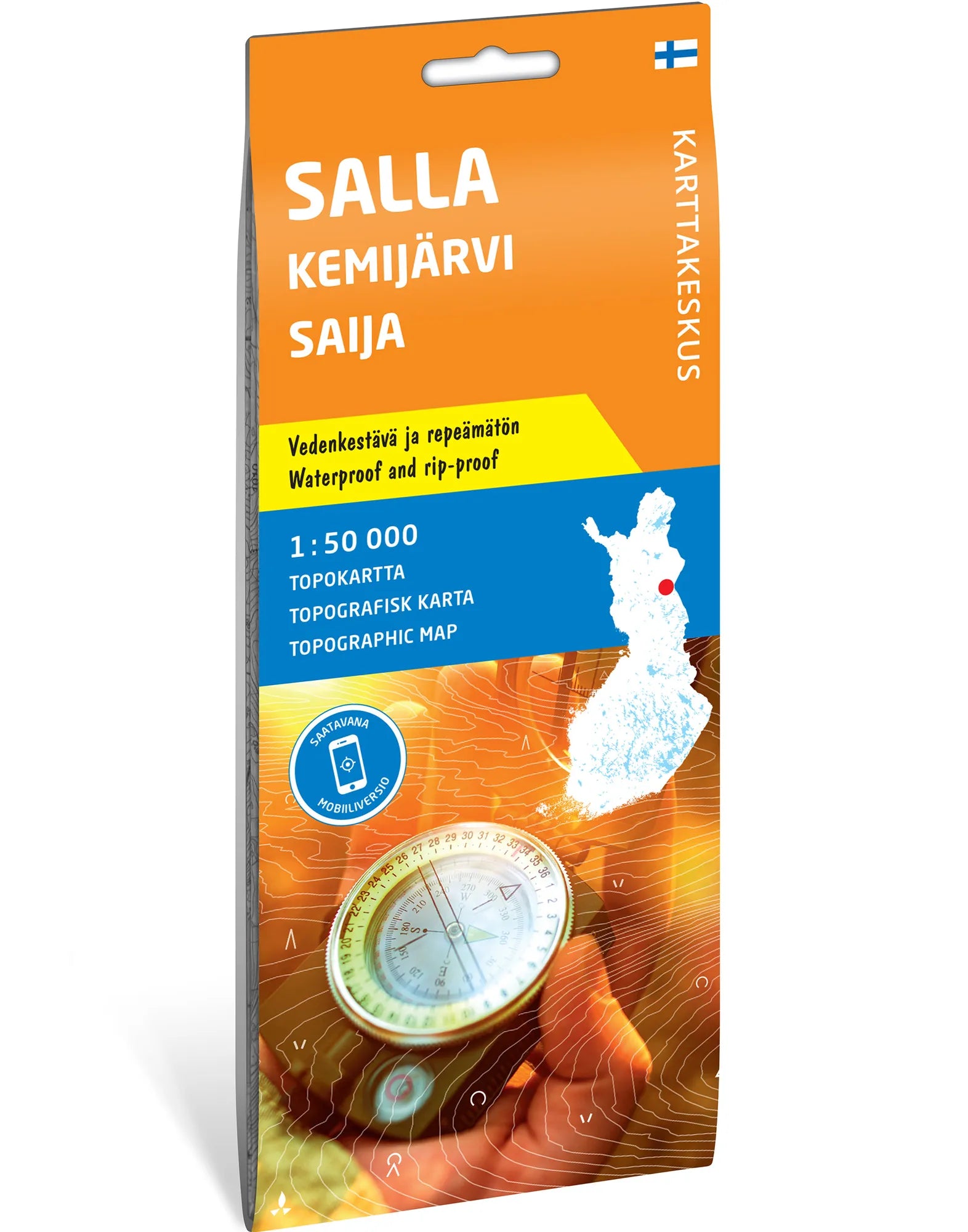
Map of the areas north and west of Salla. Topographic map at a scale of 1:50,000 covering the landscape from the center of Salla towards the north and west. It provides a geographic basis for planning trips in the area around Salla, Kemijärvi, and Saija.
Rivers, national park, and the UKK trail. The map shows, among other things, Aatsinginjoki, Vuotosjoki, and Jaurujoki, which flow towards Kemijoki. The northern part of Salla National Park and part of the UKK trail are also included. The combination of waterways and hiking terrain makes the map useful for seeing several hiking options in context.
Durable map sheet. The map is made of waterproof and tear-resistant Tyvek and is delivered folded. The map sheet measures 70 × 100 cm. The publisher is Karttakeskus, and this edition is distributed by Calazo.
Practical information: Scale 1:50,000. Map sheet 70 × 100 cm. Publisher Karttakeskus. Last revised in 2022 according to Calazo. ISBN 9789522667533.