


Description
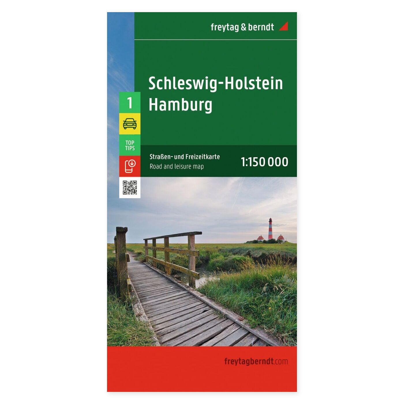
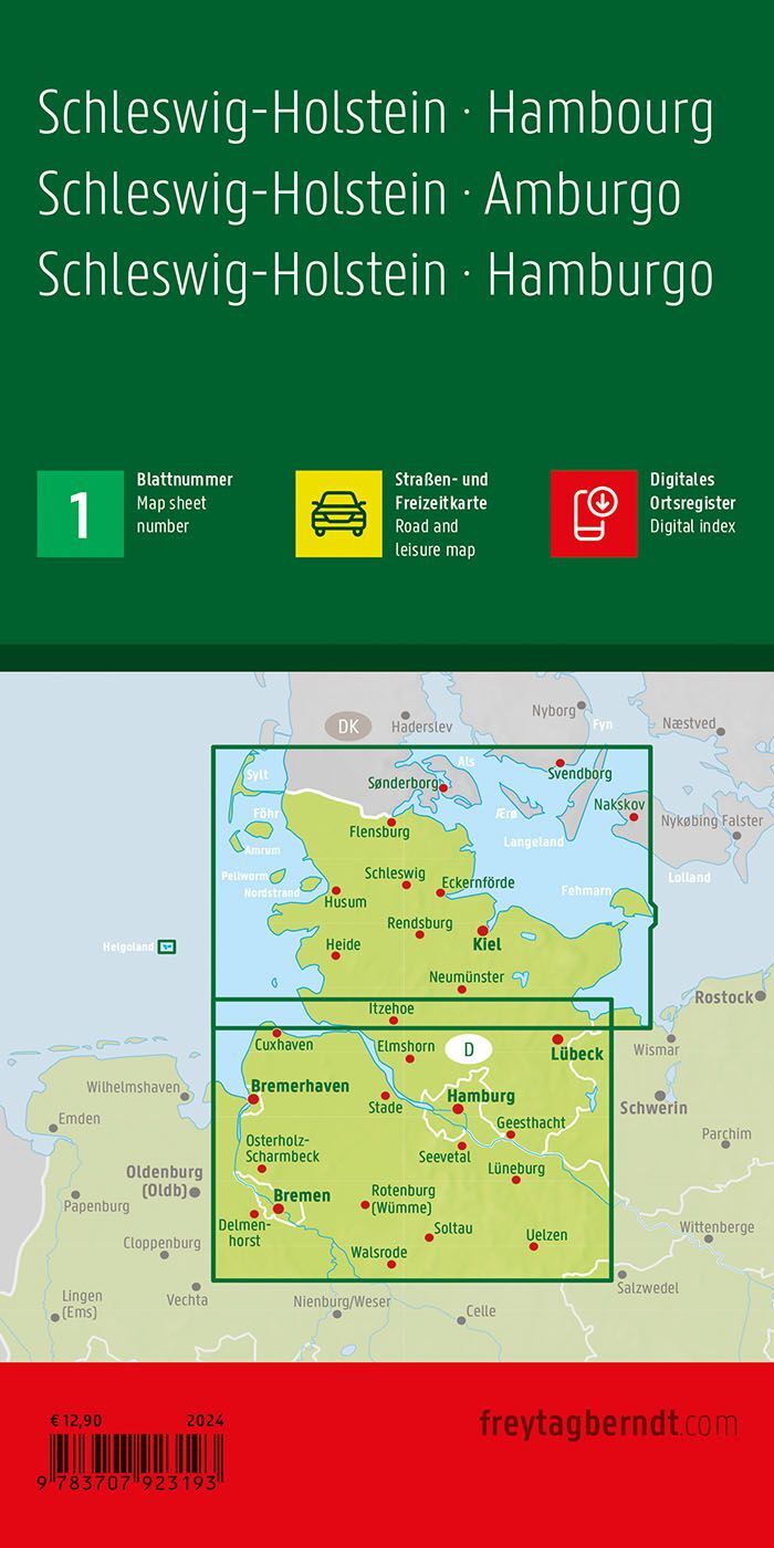
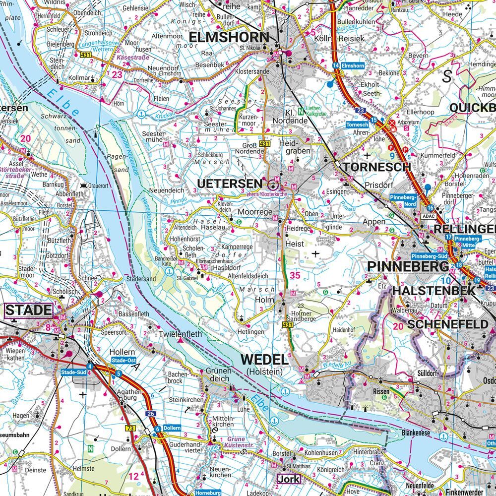
This multilingual road map of Schleswig-Holstein and Hamburg at a scale of 1:150,000 provides a comprehensive overview for planning trips and excursions. The paper map allows you to see destinations in context, compare route alternatives, and choose stops before you depart.
Schleswig-Holstein and Hamburg on a double-sided map provides a great overview for a driving holiday in Northern Germany. The region and urban area can be viewed together when selecting routes and excursions.
Campsites, RV parks, and an index of locations with postal codes provide practical assistance for planning your journey. Tourist information makes it easier to find stops along the route. The unfolded format is approx. 135 × 96 cm.
Plan your journey on paper. Unfold the map to get an overview of a larger area and follow the connections between the places you wish to visit. The multilingual design makes the map practical to use and share with others on your trip.
Practical information: Scale 1:150,000, equivalent to 1.5 km per centimeter. Year of publication 2024. ISBN 9783707923193. Publisher Freytag & Berndt.
