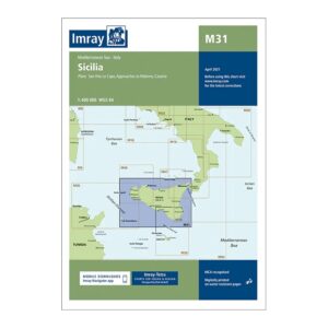
Description
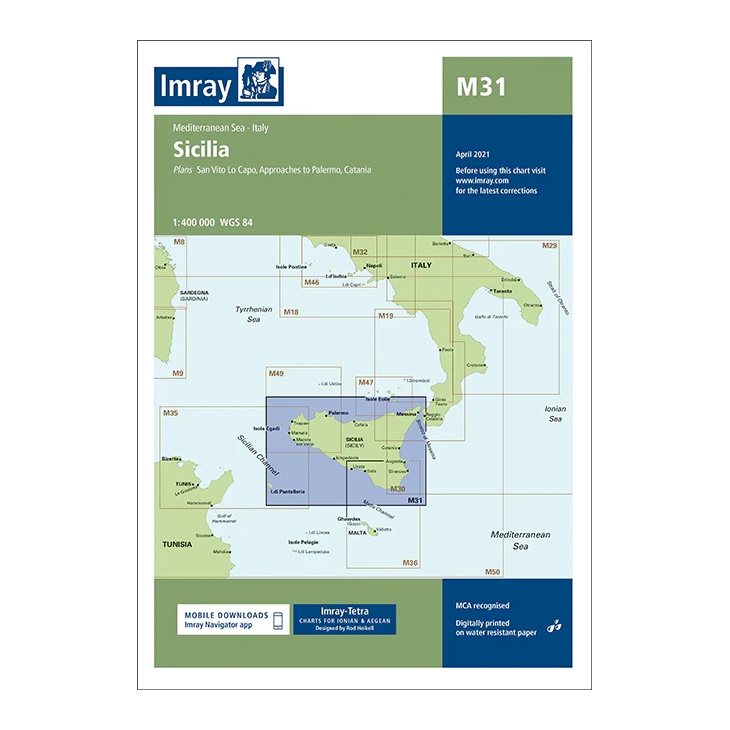
This overview map from Imray covers Sicily and the surrounding waters of the Mediterranean. The map includes plan views and approaches to key ports such as Palermo and Catania, as well as important sailing areas all along the island’s coastline.
The map is designed for planning and overview navigation and gives a good overall picture of the sailing routes around Sicily. It serves as a useful supplement to more detailed coastal and harbor charts for longer voyages in the region.
Printed on water-resistant paper and manufactured to MCA approved standards, with support for digital updates via the Imray Navigator app.