


 Stjørdalen 1904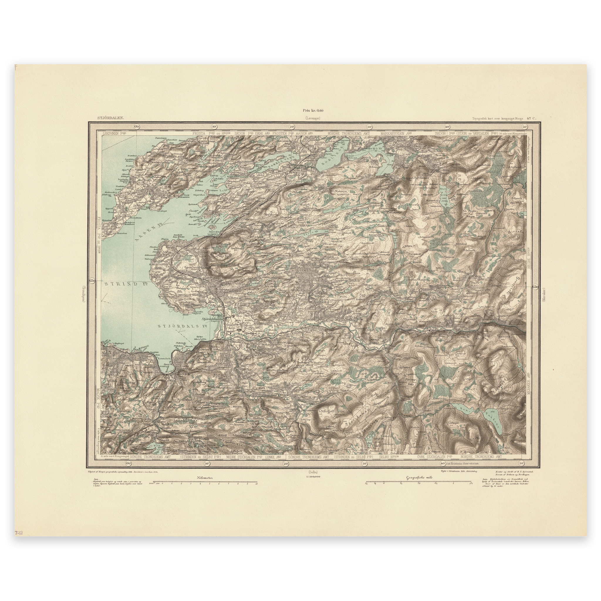
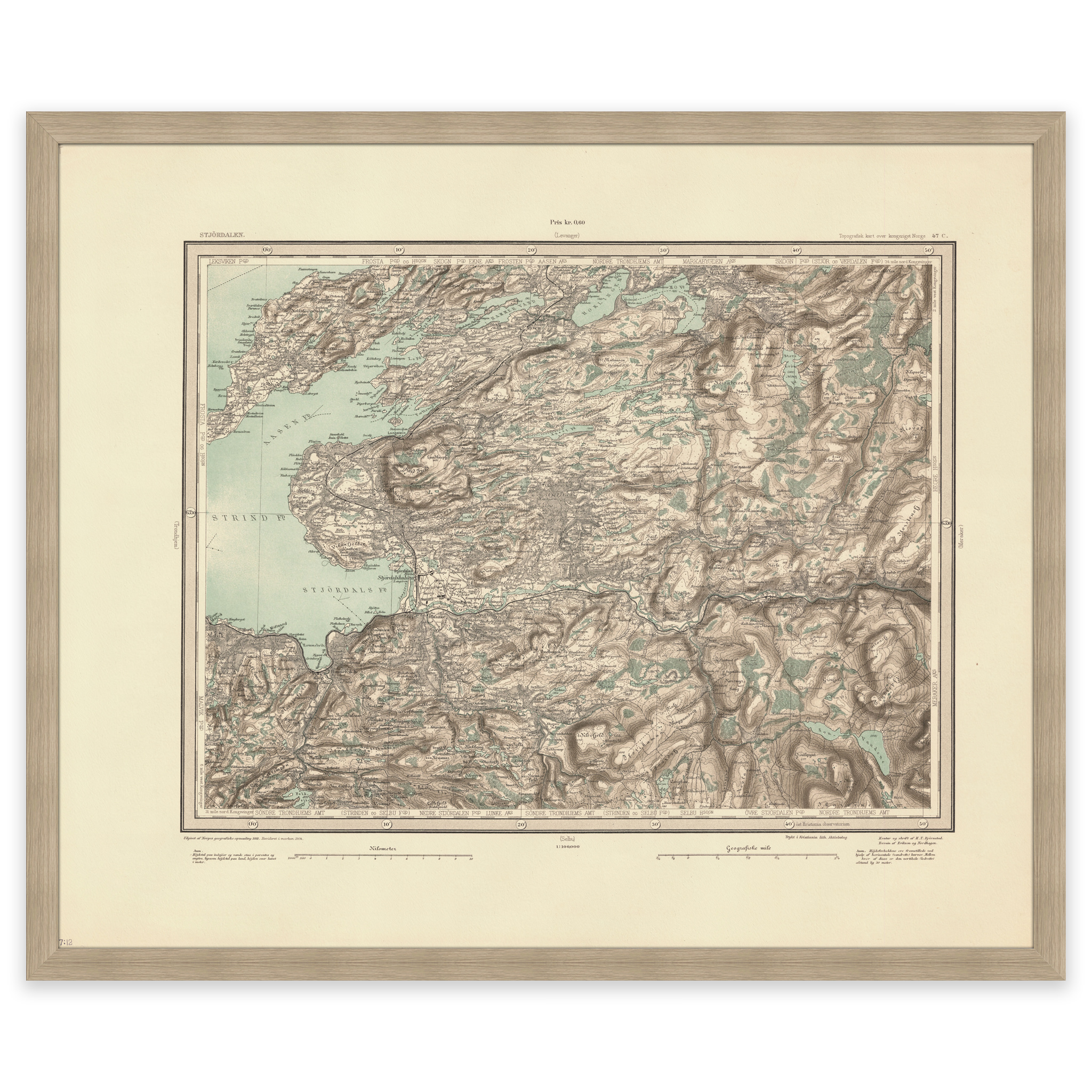


Stjørdalen 1904
Map of Stjørdalen and the area north towards Markabygda, Åsen and Frosta in Trøndelag. The map was made using the heliogravure technique by F. Eriksen, H. T. Bjørnstad and Johan Nordhagen in 1904. The map is delivered in its original size of 60.8 x 50.2 cm. The size with frame and passe-partout is 78.8 x 69.2 cm. Would you like the map in a different size? Just get in touch – we’ll be happy to give you a quote for customization.
Recommended products
-
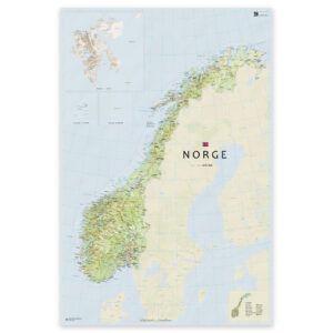
Norway map with updated county boundaries – stylish and detailed wall map
From 0,00 €
Select options -
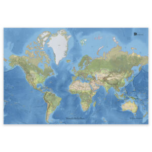
Classic world map with countries and capitals
From 0,00 €
Select options -
SaleIn stock

Primus Klunken Vacuum Bottle 0.5L Mint – Thermos
Original price was: 38,01 €.26,58 €Current price is: 26,58 €. Add to cart