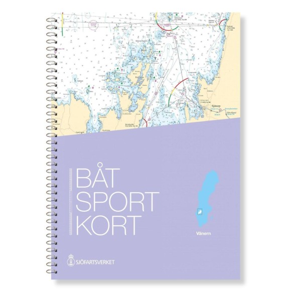
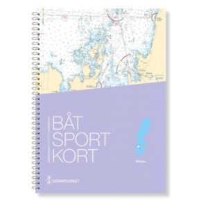
Svensk båtsportkart – Lake Vänern
Updated boating map for Vänern
The boating maps are extracts from the official “Skärgårdskorten” (archipelago maps) and are designed in a practical format that makes them particularly suitable for navigation in smaller leisure boats. This map covers Lake Vänern, Sweden’s largest lake, and provides a clear and detailed basis for safe navigation in the lake’s waters and bays.
The map is delivered in the most recent and updated version at all times, based on current map data from the Swedish Maritime Administration. This ensures that changes in fairways, shallow areas, markings and other nautical information are correctly reproduced. The map has a scale that provides a good balance between overview and detail, and includes necessary sections where this is navigationally relevant.
101,90 €
Available on backorder