Description
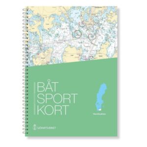
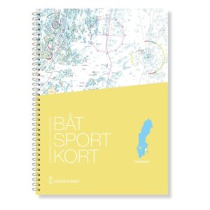
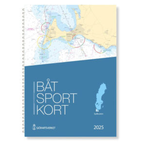
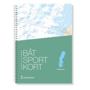
The official Swedish boating chart Kalmarsund covers the important waters of the southern Baltic Sea between Västervik and Bergkvara, providing a complete navigational tool for recreational boats traveling in this area. The chart is designed for practical and safe navigation through coastal waters and archipelagos, as well as entries and exits to ports and anchorages.
Official map data from the Swedish Maritime Administration
The boating map is an extract from the official Swedish “archipelago maps” and is based on the most up-to-date map data from the Swedish Maritime Administration. This ensures that fairways, depths, markings and other nautical conditions are accurately and correctly reproduced in the latest available edition, giving you a reliable basis for navigation on board.
Detailed coverage at multiple scales
The chart set contains overview charts, nautical charts and more detailed segments that provide good readability for both planning and active navigation. It provides a thorough representation of fairways, archipelagos and harbor entrances, so you can easily orient yourself and plan your route.
Convenient format for use on board
The charts are spiral bound in a user-friendly format of 30 × 42 cm and supplied in a clear protective folder. This solution makes the charts robust and easy to handle on board smaller boats, while providing a good overview between adjacent chart sheets.
Covered area and locations
The map includes the coastline from Västervik in the north, along the coast of Kalmarsund, all the way to Bergkvara in the south. The area includes archipelagos, straits and harbors that are important for local and long-distance leisure boats, thus providing a complete navigation basis for sailing in these popular waters.