
Description
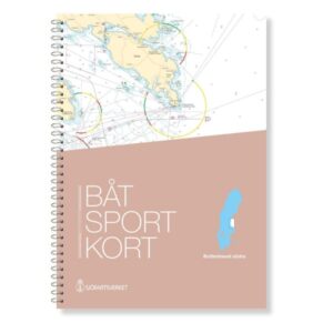
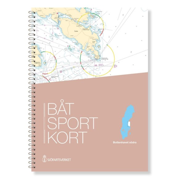
The official Swedish boating chart Bottenhavet Södra covers the southern part of the Gulf of Bothnia, with the coastline from Gävle in the south to Sundsvall in the north. Designed for recreational boaters, the chart provides comprehensive and accurate chart information to help you navigate safely in coastal waters.
Official map data from the Swedish Maritime Administration
This boating map is an extract from the official Swedish “archipelago maps” and is based on current map data from the Swedish Maritime Administration. This means that fairways, depths, markings and other nautical conditions are updated to the latest version, so you have a reliable basis for navigation on board.
Detailed scales for navigation
The map set is primarily prepared at a scale of 1:50,000, which provides good legibility and precision along the coast. For overall planning, overview maps at a scale of 1:250,000 are also included.
Convenient format for onboard use
The charts are spiral bound in a user-friendly format and come with a protective transparent folder. This makes the charts suitable for active use in the cockpit and at the chart table, with clear references between adjacent chart sheets.
Areas and ports
The map covers many key areas and ports along the Swedish coast, including Gävle, Furuvik, Sandarne, Söderhamn, Hudiksvall, Gnarp, Njurunda, Härnösand, Utansjö and Åstön, and provides a solid basis for navigation along the coast of the Bothnian Sea.