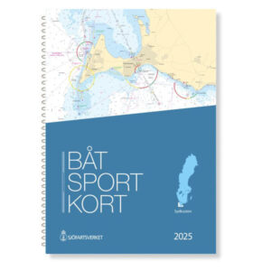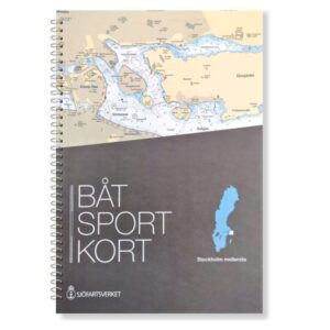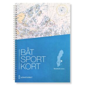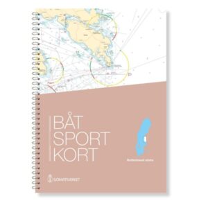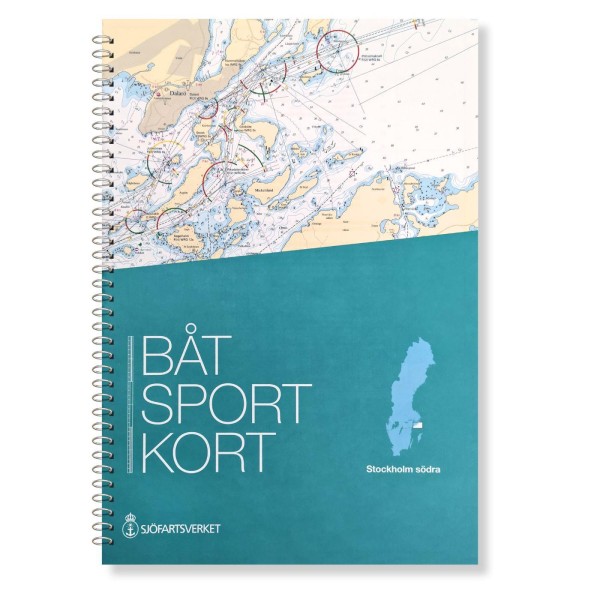
Description
The boating charts are extracts from the official archipelago charts and are designed in a practical format that makes them particularly suitable for navigation in smaller leisure boats. This map covers the Stockholm Södra area – the southern part of the Stockholm archipelago – with navigational details, harbor plans and information important for safe navigation in coastal waters.
The map is delivered in the most recent and updated version at all times, based on current map data from the Swedish Maritime Administration. This ensures that changes in fairways, depths, markings and other nautical information are correctly reproduced and updated for use. The maps have a scale that provides a good balance between overview and detail, and include necessary sections where relevant.