Description
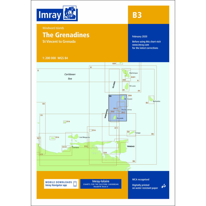
This boating map covers the Grenadines in the Caribbean, one of the world’s most popular areas for island hopping and sailing. The map provides a detailed overview of the waters, islands and anchorages, and is adapted for practical use for both planning and navigation along the way.
Detailed map for sailors
The map includes a number of important areas such as Bequia, Mustique, Canouan, Union Island and Carriacou, as well as well-known places such as Tobago Cays and Clifton Harbour. It provides a good overview of sailing routes, anchorages and harbors in an area known for short distances and good sailing conditions.
Developed for cruising in the Caribbean
The Imray-Iolaire charts have been developed specifically for leisure sailors and are based on both official chart data and extensive local knowledge gathered over decades. This often provides more practical information about anchorages, facilities and local conditions than traditional nautical charts.
Robust and user-friendly format
The map is printed on water-resistant paper and comes in a practical format that can be used on board. The clear layout makes it easy to navigate and plan routes, both for short day trips and longer voyages through the archipelago.