Description
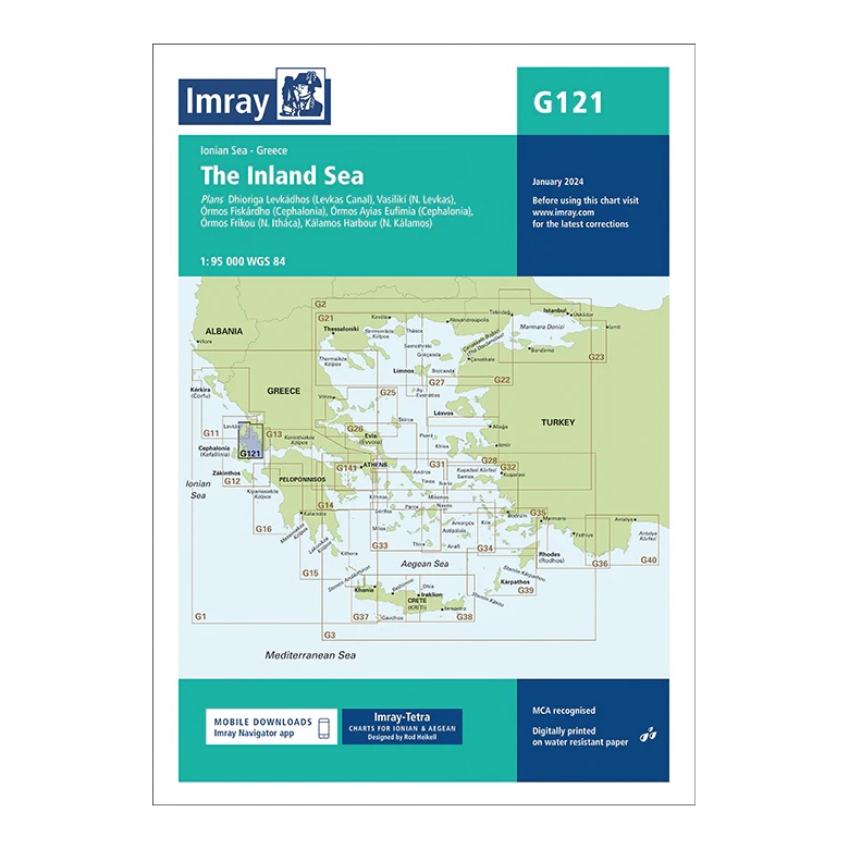
This overview chart from Imray covers “The Inland Sea” in the central Ionian Sea, a protected and very popular sailing area between Levkada, Íthaka, Kefallinía and mainland Greece. The map provides a clear regional overview of an area known for calm conditions, short distances and many safe anchorages.
The map includes plan views and approaches to, among others, the Lévka Channel (Dhióriga Lévkados), Vasilikí (Lévkada), Órmos Fiskárdou (Kefallinía), Órmos Aístris (Aftímina), Órmos Fríko (Íthaka) and Kalamáta Harbor (N. Kalamós). It is particularly well suited for day sailing and route planning, and very popular with charter sailors in the Ionian Sea.
Printed on water-resistant paper and manufactured to MCA approved standards, with support for digital updates via the Imray Navigator app.