Description
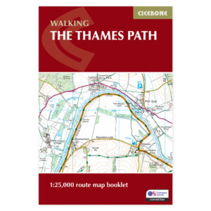
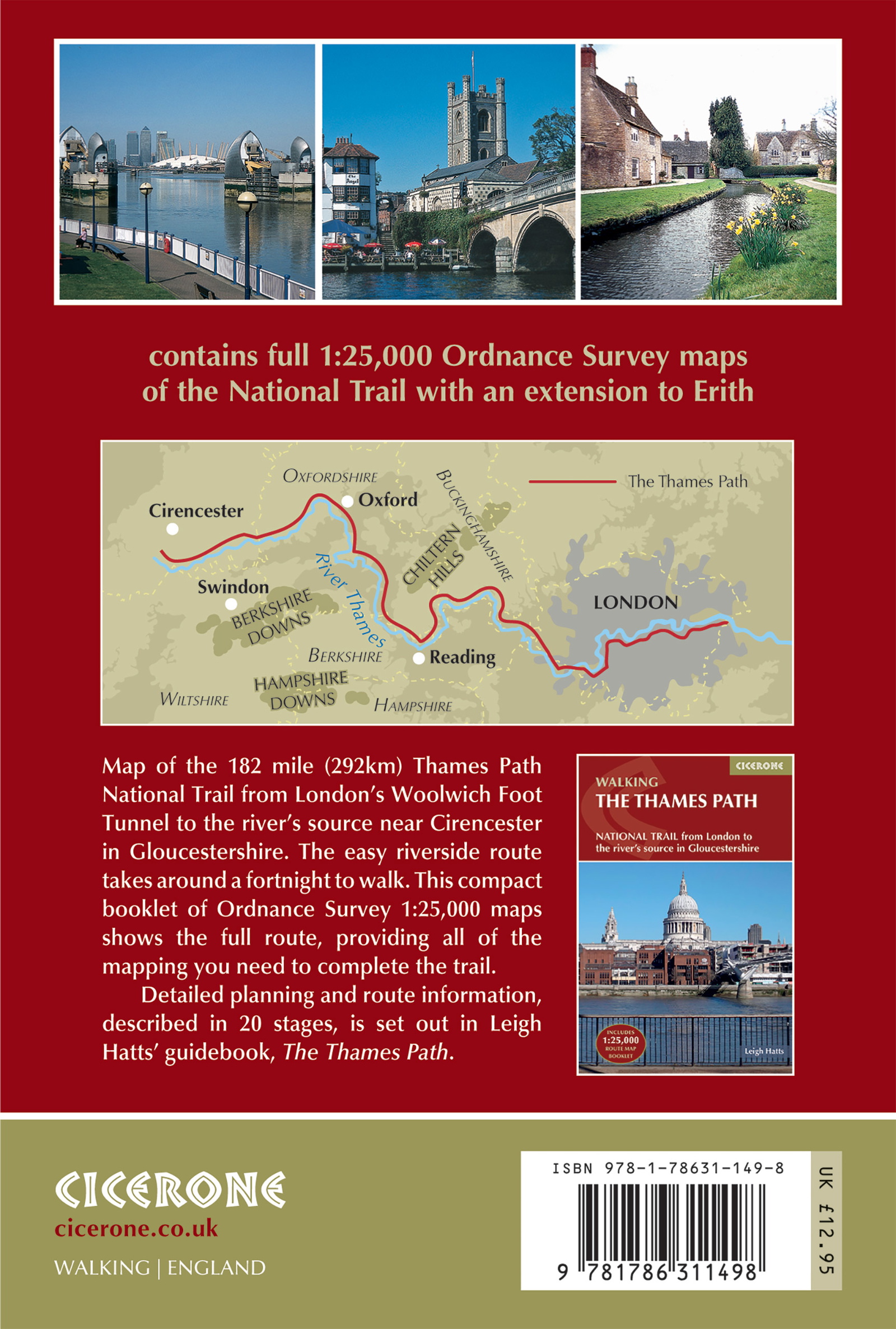
Map from London to the source of the Thames.
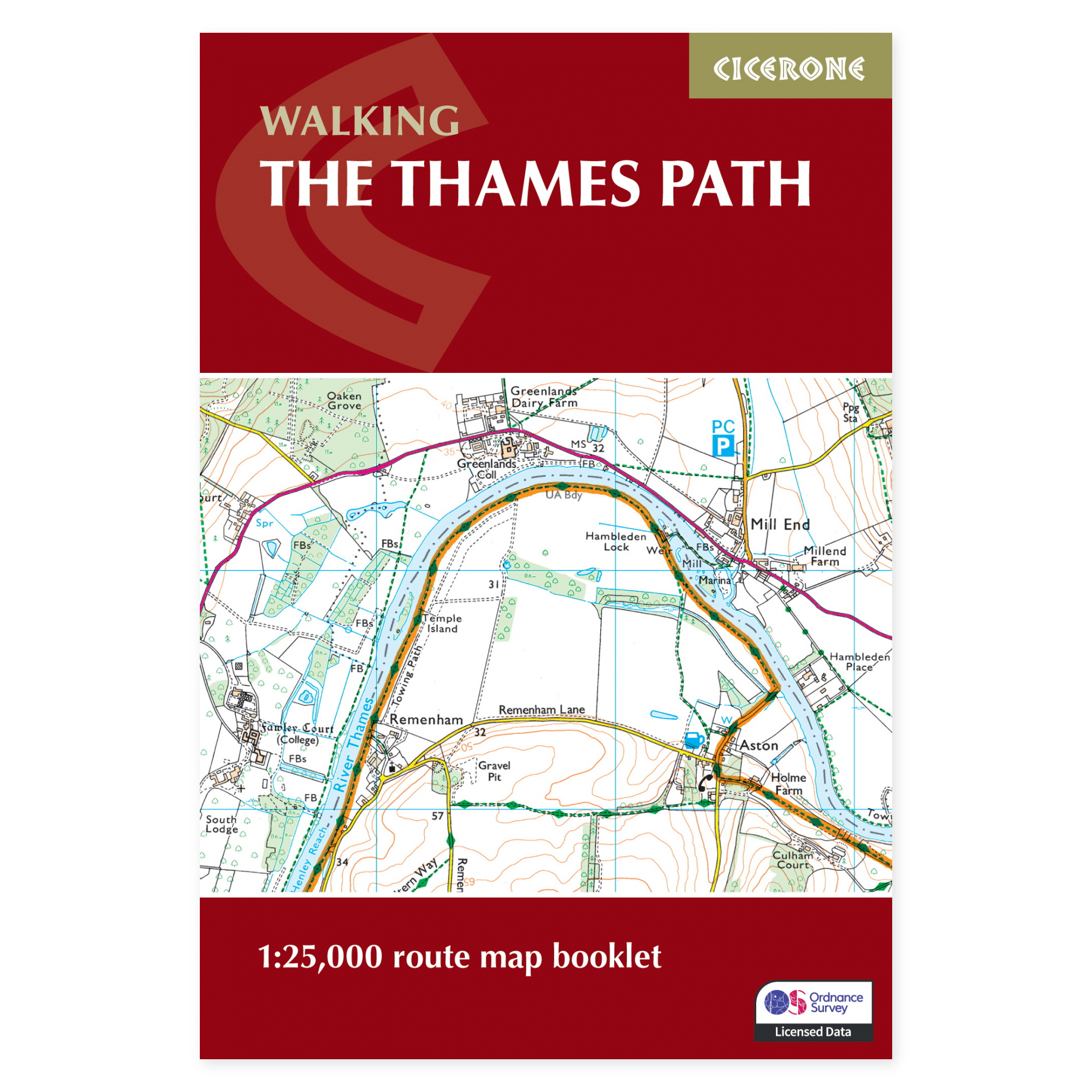
The Thames Path follows the river through urban landscapes, historic towns, and tranquil countryside. This approximately 290-kilometer route extends from Woolwich Foot Tunnel to the river’s source in Gloucestershire. This separate map booklet compiles the entire walk, providing a printed map base that is easy to carry along the way.
Ordnance Survey at 1:25,000 scale.
The marked route is displayed on detailed OS maps, allowing you to follow the riverbank and see connections to surrounding areas. The maps also make it easier to place a shorter section within the overall context. A consolidated booklet is practical when you want to avoid handling multiple large map sheets on a long trip.
From urban trails to tranquil river landscapes.
London, Windsor, Henley, Reading, and Oxford are among the locations along the journey. East of Oxford, public transport is often more accessible, while the upper river stretches require more planning for accommodation and connections. The map booklet supports a pre-planned stage itinerary or exploration of individual days along the river.
Map booklet or complete guide?
This product contains the maps sold separately. The same booklet is included in Cicerone’s The Thames Path complete guide. Choose the complete book if you also desire detailed route descriptions and broader assistance with accommodation and logistics. The map booklet is suitable if you already have such information or wish to distribute maps among several members of your hiking group.
A long tradition of walking guides.
Cicerone has published guidebooks since 1969. The publisher emerged among climbers and mountaineers who wanted to share thorough knowledge of their routes – a tradition that still characterizes these compact books for walking, trekking, and other outdoor experiences.
About this edition.
Author: Leigh Hatts. English language. 96 pages. Second edition, published in 2023. ISBN 9781786311498.