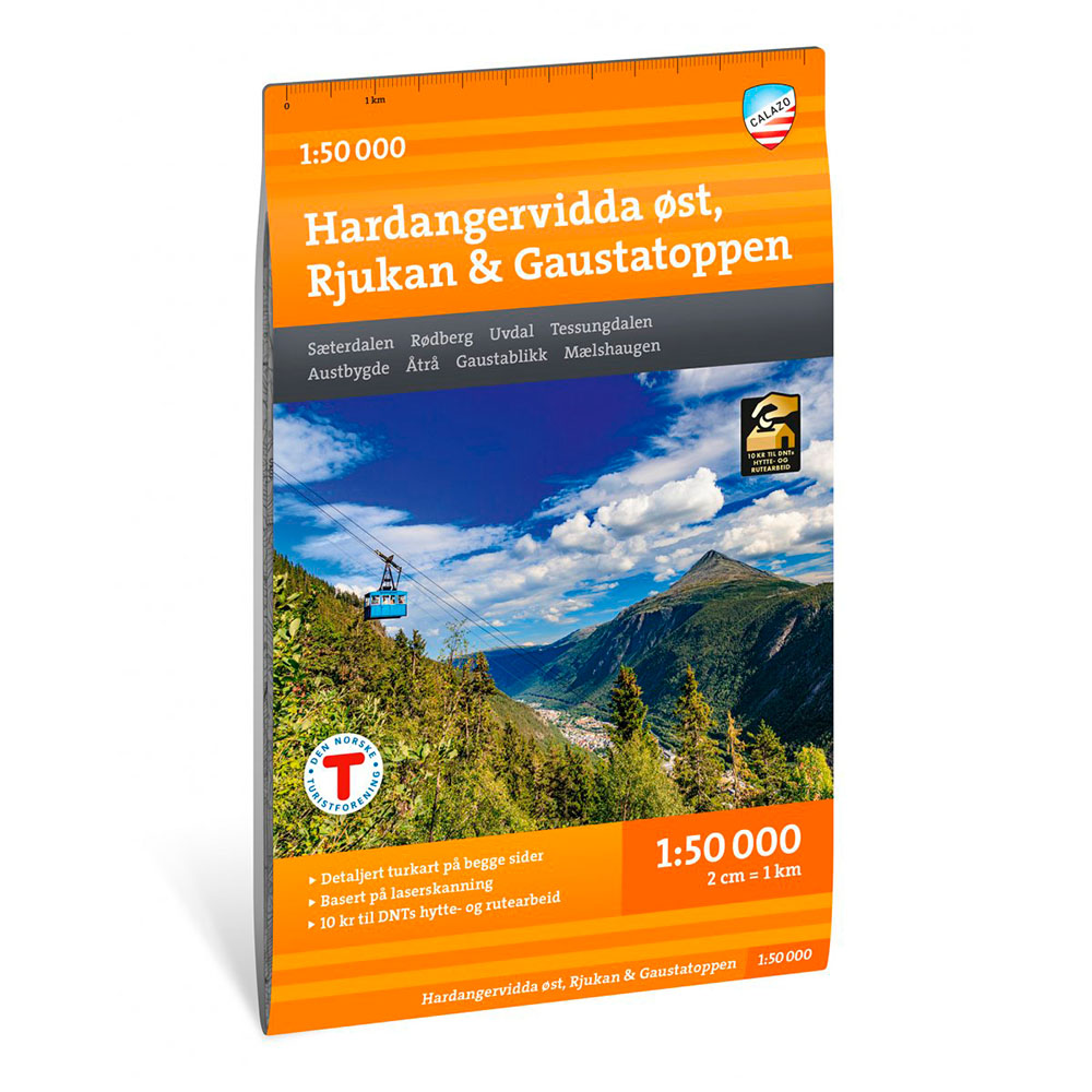

Description
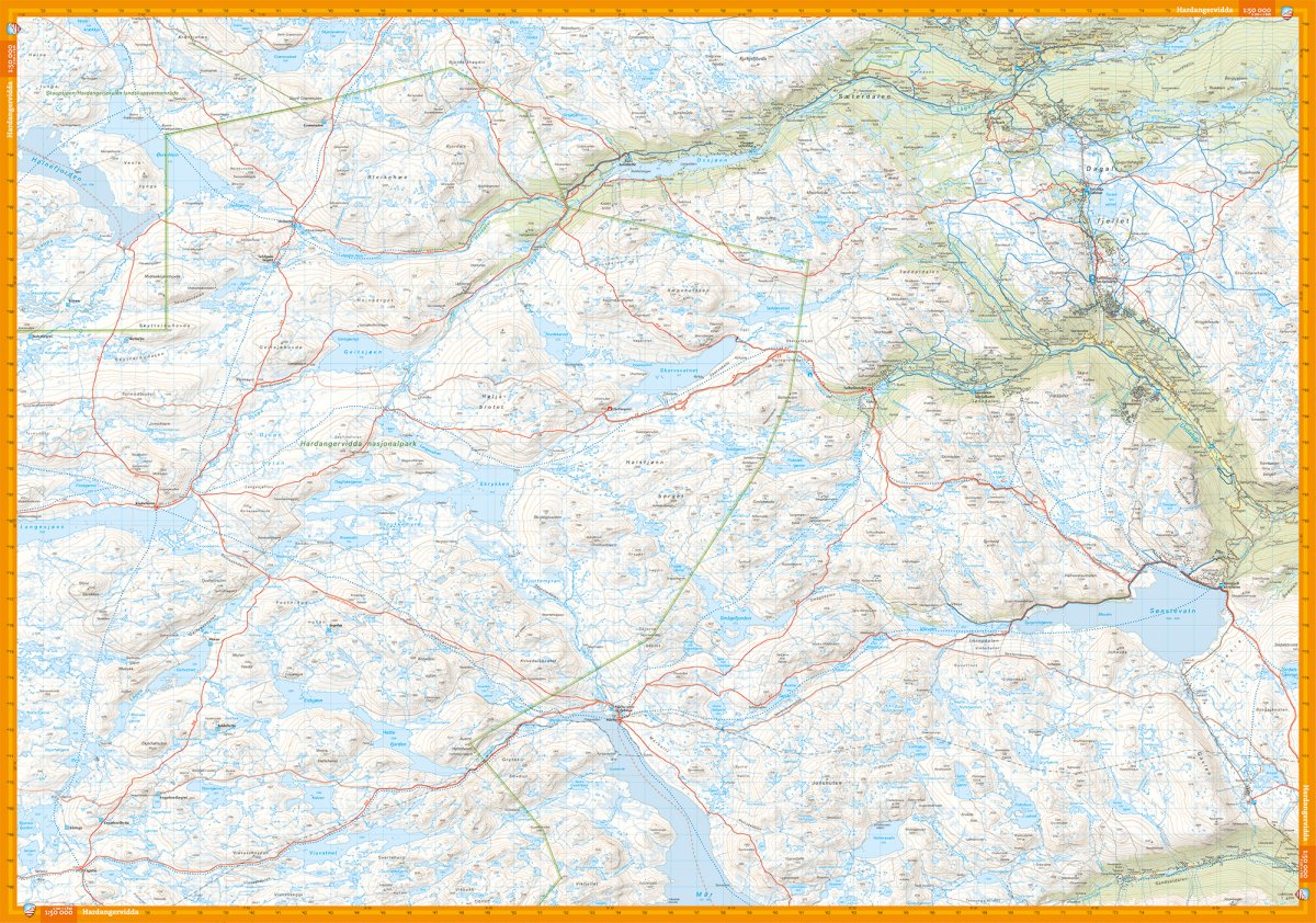
Hiking map of the eastern part of Hardangervidda at a scale of 1:50,000. The map covers the area from Rauhellaren in the west to Rjukan in the south, and includes key hiking destinations such as GaustatoppenHeinseter, Mårbu and Kalhovd.
The map provides an overview of marked summer trails, winter routes and groomed ski trails, as well as DNT cabins and other accommodation in the area. It is suitable for both hiking and skiing throughout the year.
Map display on both sides provides good coverage of the area. The map is printed on durable and water-repellent material (Tyvek), which withstands use in varied weather and terrain.
Here you can see the area the map covers:
The map is released in 2026.