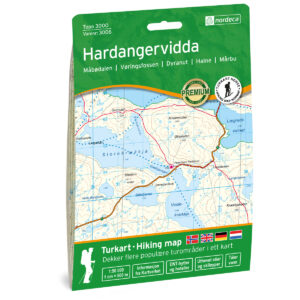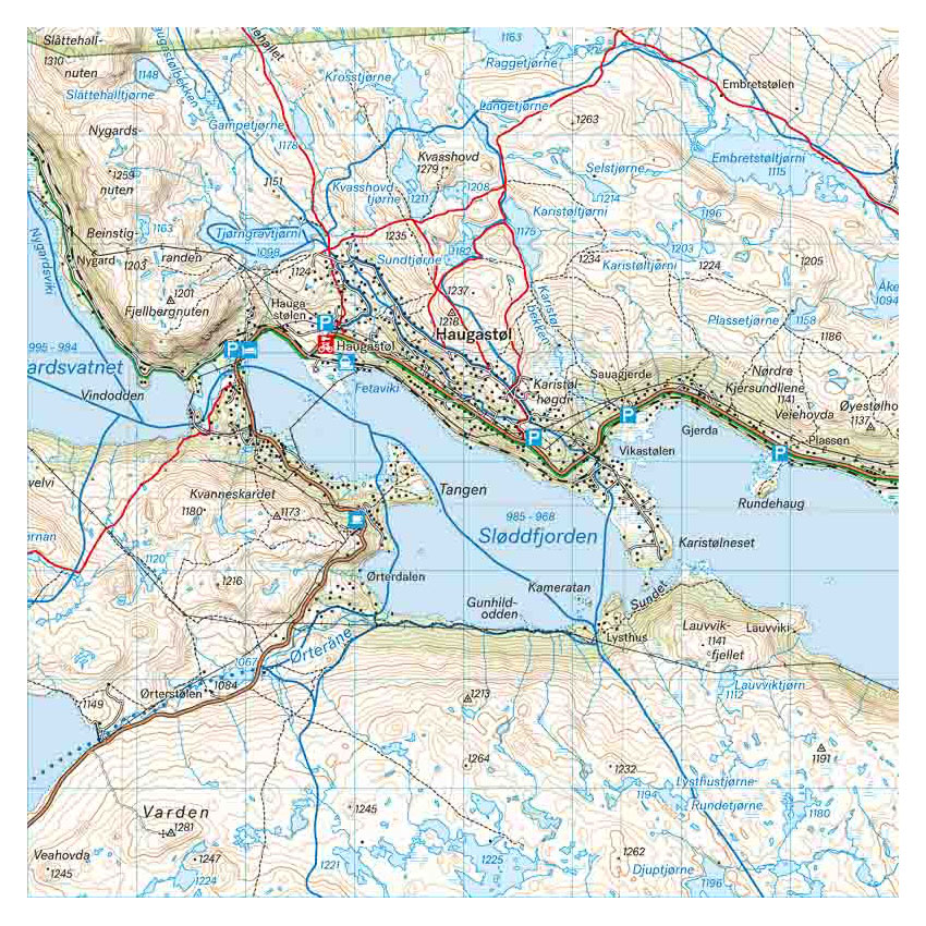
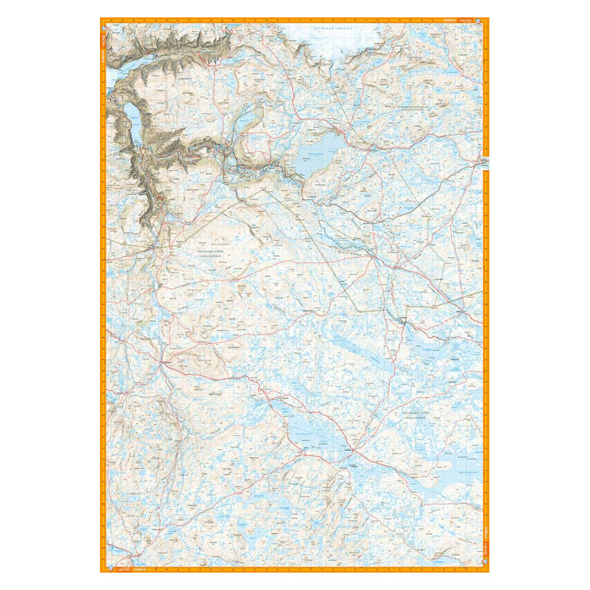
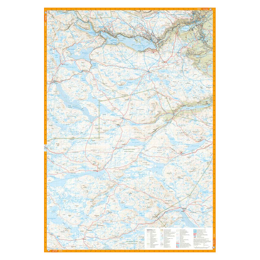
Description
Turkart Hardangervidda nord covers the northern part of Hardangervidda, with map sections on both the front and back. The area stretches from the Litlos and Mårbu cabins in the south to Route 7 in the north, and includes key hiking destinations such as Rauhelleren, Sandhaug, Vøringsfossen and Halnekollen.
The map provides an overview of a vast high mountain area with open plains, water and long hiking routes. It shows marked hiking routes, DNT cabins and private accommodation, and is adapted for use throughout the year. Winter routes and groomed ski trails are marked where applicable. The map has a format of 70 × 100 cm and provides good coverage of a large and continuous mountain area.
The map is at a scale of 1:50,000, which is the most common scale for longer mountain hikes. At this scale, 2 cm on the map corresponds to 1 km in the terrain. The terrain information is based on detailed elevation data and provides a precise and clear representation of the landscape.
Calazo Förlag is a Swedish publishing house specializing in maps and books for outdoor life in the Nordic region.
Here you can see the area the map covers:
The map is released in 2022.