Description
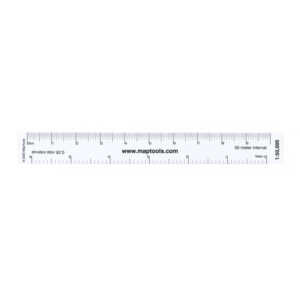
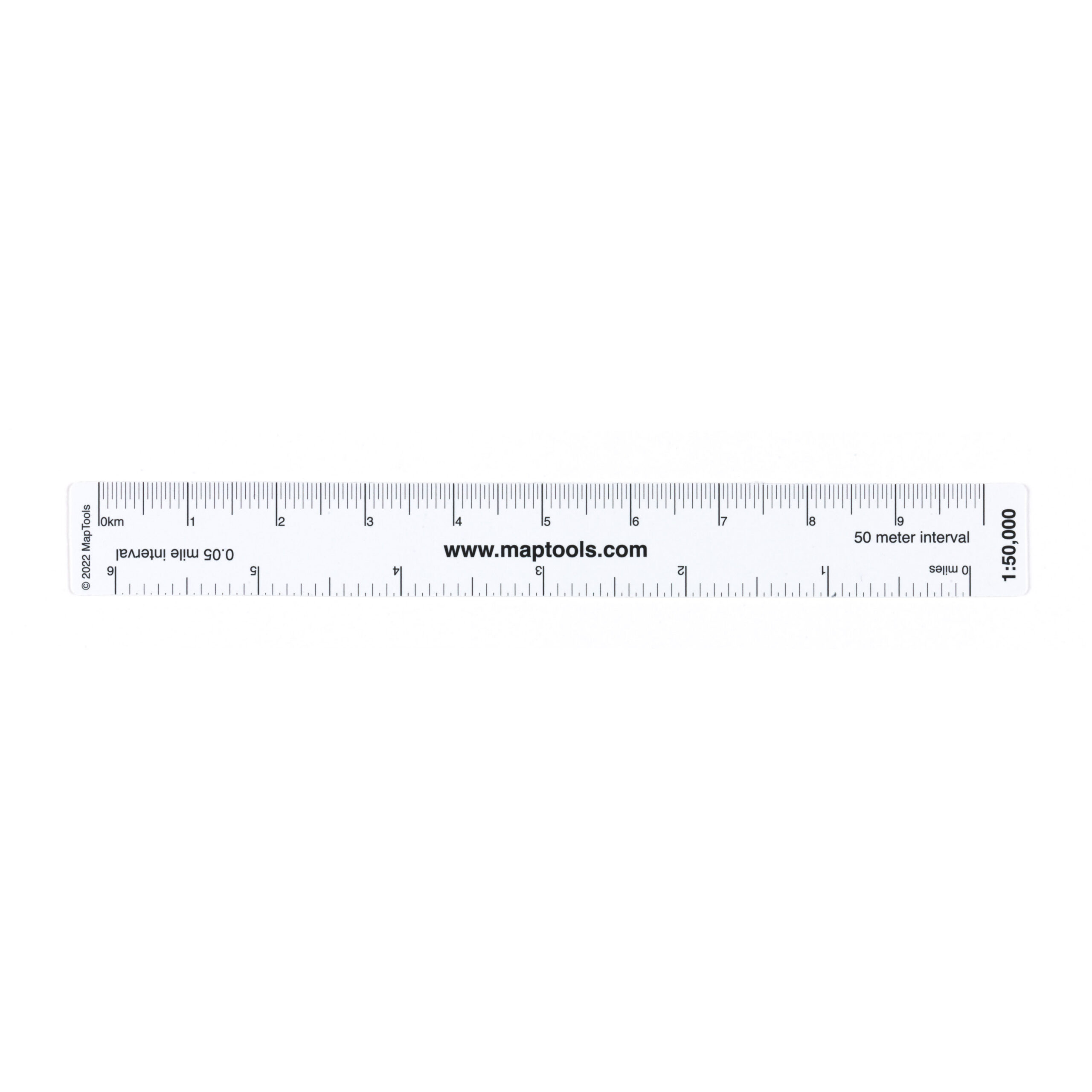
The 1:50,000 Map Ruler is a versatile mapping tool designed for maps at a scale of 1:50,000. The ruler makes it easy to measure distances, read coordinates, and work with UTM, MGRS, and latitude/longitude coordinates on topographic maps.
It has different scales on the front and back, allowing you to measure distances and work with geographic coordinates easily and accurately. The ruler comes with a protective storage pouch and instructions for use.
The map ruler is made of durable, transparent plastic, which makes it easy to read while also withstanding many years of use in the field. It’s just as suitable for planning trips at home as it is for navigation on the go.
For those who use hiking maps at a scale of 1:50,000, this is a practical tool that complements maps, compasses, and GPS, and makes both distance measurement and coordinate work easier.