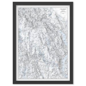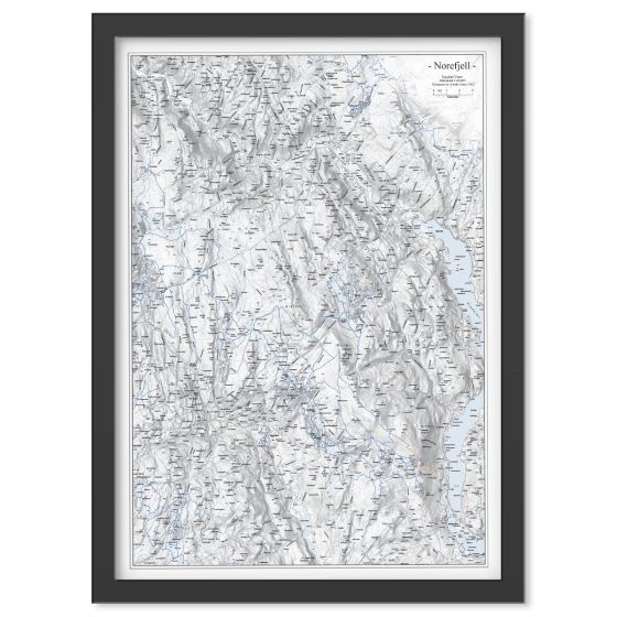
Description
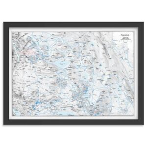
Wall Map Norefjell is an exclusive and frame-friendly mountain map at a scale of 1:60,000 that provides a detailed and clear representation of the Norefjell area in Eastern Norway. The map shows mountain peaks, valleys, lakes, trails, ski slopes and ski resorts, and is produced with discreet shadow layers that give the terrain depth and a clear three-dimensional feel. This makes the map both easy to read and visually appealing.
The map is supplied without a frame, but in a fixed and frame-friendly poster format of 50 × 70 cm, so it can easily be mounted as desired. The detailed presentation makes the map suitable both as a practical reference for trip planning and outdoor life, and as a decorative wall map in your home or cabin.
The map is released in 2025. Although some details of the terrain or facilities may have changed since publication, Veggkart Norefjell still provides a very good and inspiring overview of the area and works excellently as both an orientation map and an atmospheric wall map.
For those looking for maps in other formats, styles or presentation solutions, we also offer a wide range of print-on-demand map products at kart.no.