Description
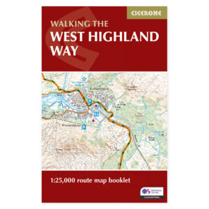
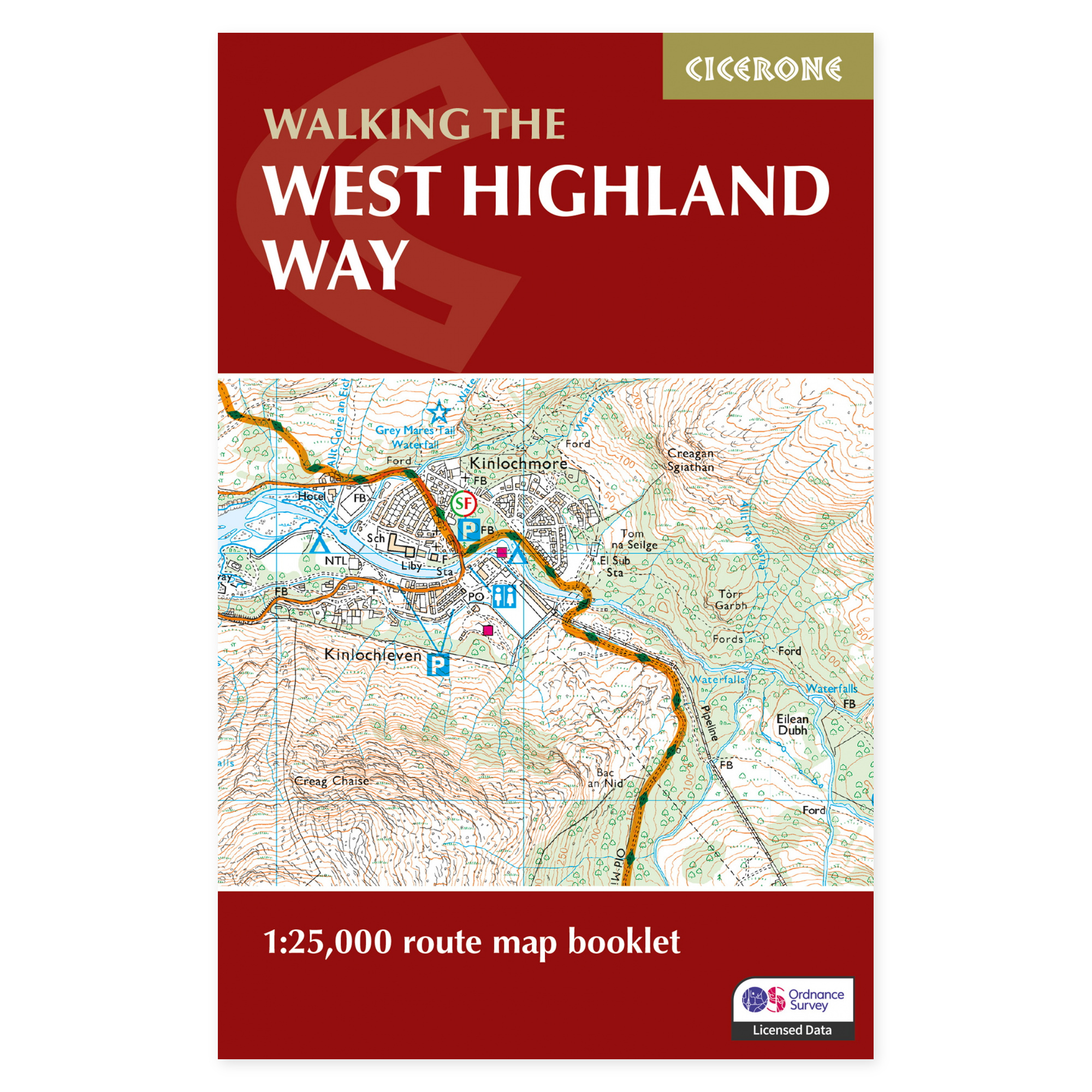
Detailed maps from Milngavie to Fort William.
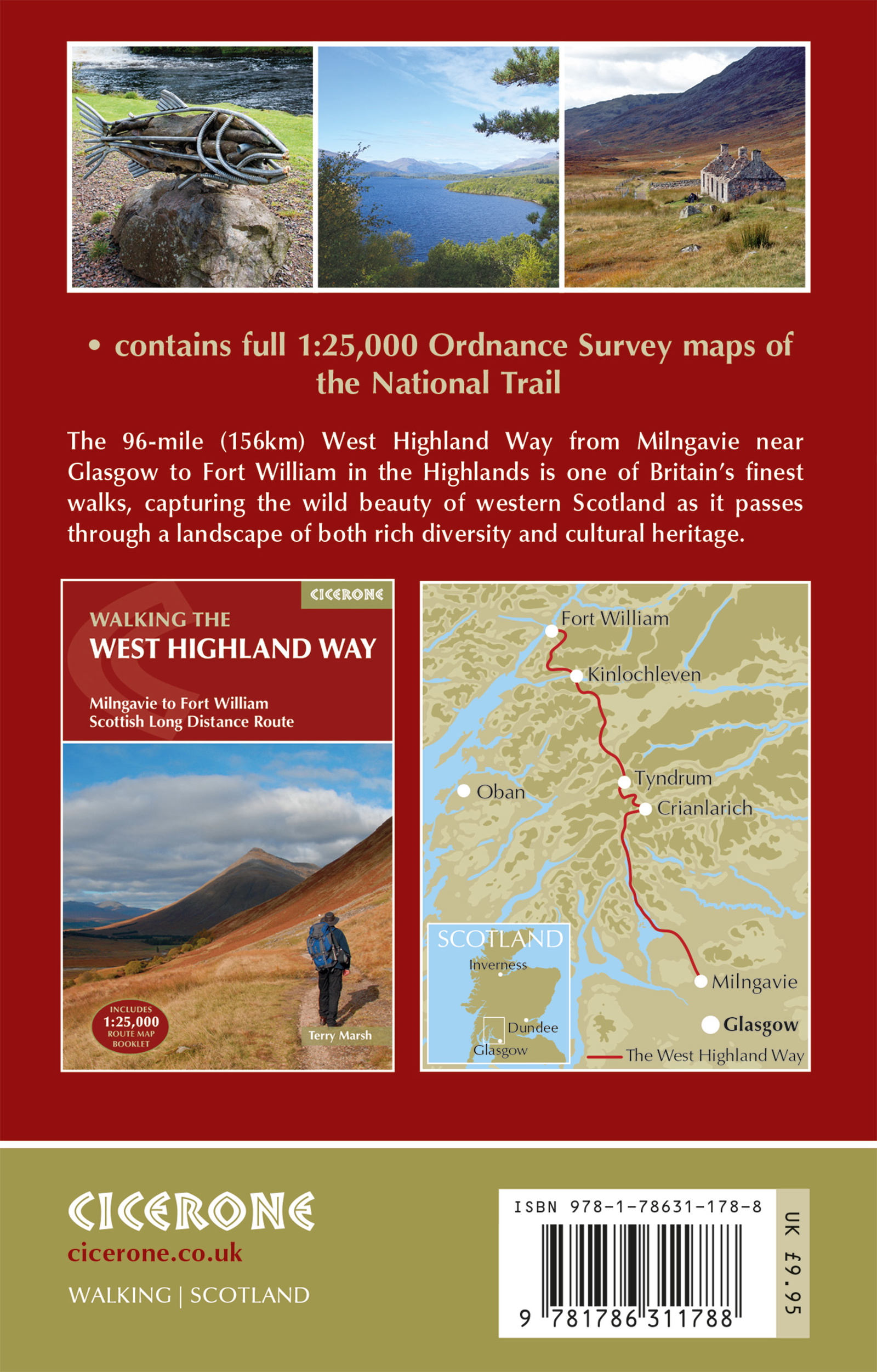
The West Highland Way extends from the outskirts of Glasgow to the base of Ben Nevis, connecting some of Scotland’s most renowned landscapes. This map booklet compiles the entire route into a single, compact format. It provides a continuous map companion through the areas around Loch Lomond, Rannoch Moor, and Glencoe.
Ordnance Survey at a scale of 1:25,000.
The marked route is displayed on OS maps with a level of detail useful for identifying trails, terrain features, and the surrounding environment along the way. The booklet can be used both northbound and southbound. The map sequence allows you to track your progress throughout the journey without handling a series of large, separate map sheets.
A lightweight supplement to your trip plan.
With 56 pages and a format of 16.6 × 10.6 centimeters, the booklet occupies minimal space in your pack. It is suitable when you have already planned accommodation and daily stages, or when you desire maps alongside other route information. Well-known points such as Devil’s Staircase and Lairig Mòr are included in the continuous route towards Fort William.
Map booklet or complete guide?
This product is the standalone map booklet, not the full hiking guidebook. The same booklet is included in Cicerone’s The West Highland Way. Therefore, choose the map booklet when you only require the maps, and the complete guide when you also desire detailed route descriptions and broader assistance with planning and accommodation.
A long tradition of hiking guides.
Cicerone has published guidebooks since 1969. The publisher emerged among climbers and mountaineers who wished to share their thorough knowledge of routes – a tradition that continues to characterize these compact books for walking, trekking, and other outdoor experiences.
About this edition.
Author: Terry Marsh. English language. 56 pages. Second edition, published in 2024. ISBN 9781786311788.