Description
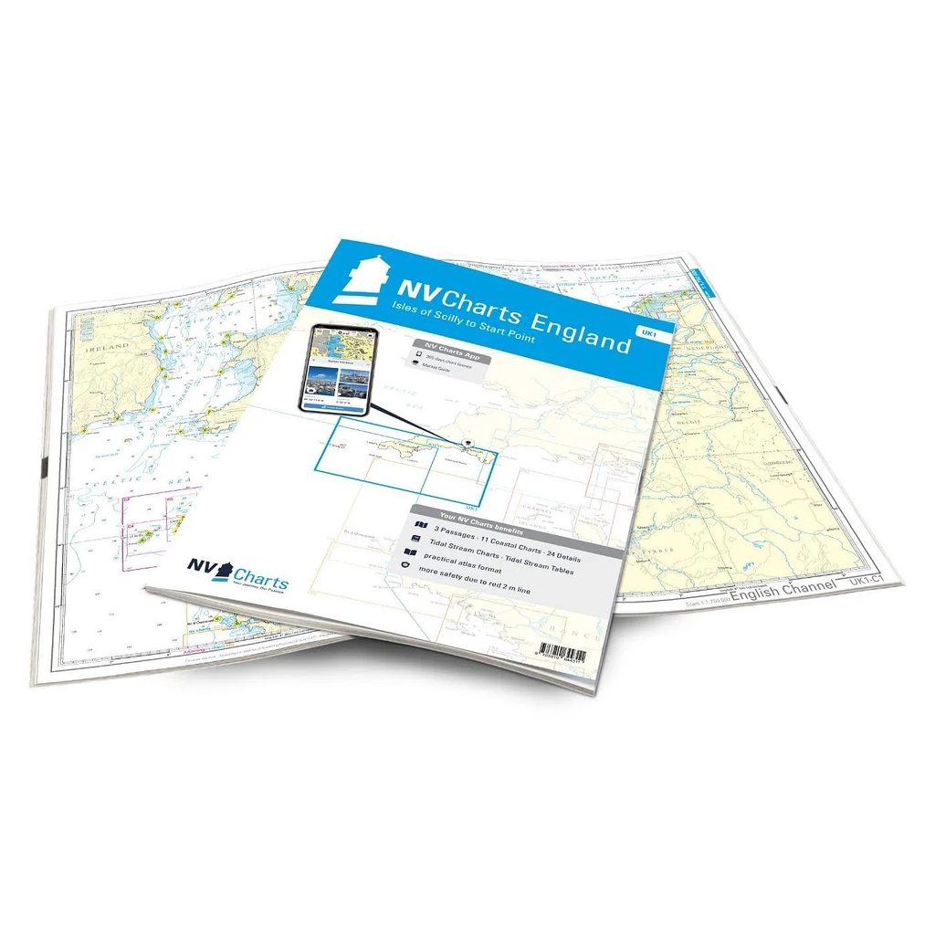
NV Charts England UK1 Scilly Isles-Start Point is a complete chart package of paper charts and digital nautical charts covering the southwest coast of England. The charts are based on official data from the United Kingdom Hydrographic Office (UKHO) and provide up-to-date navigation information for sailing along Devon and Cornwall.
The charts provide detailed navigational information on water conditions, approaches, ports, depths, waves and anchorages. The clear cartography makes it easy to find harbors, anchorages and key navigation points both on paper charts and in the NV Charts app.
The chart set comes in atlas format with clear and concise cartography, combined with digital access via the NV Charts app or PC/Mac. The digital charts can be used offline, so you always have access to up-to-date navigation data both when planning at home and out at sea.
Sailing area
UK1 covers the southwest coast of England from Start Point to the Isles of Scilly. The voyage includes historic Plymouth where the River Tamar marks the border between Devon and Cornwall.
Along Cornwall’s dramatic Atlantic coastline you’ll find popular ports such as Falmouth and Helford. Further west you’ll pass Lizard Point and Mount’s Bay before reaching Land’s End – the westernmost point of the English mainland.
From Land’s End, the route continues to the Isles of Scilly, an archipelago of more than 140 small islands and islets. The mild, subtropical climate makes the area a unique and popular sailing destination.
Characteristics
Paper maps in atlas format with a high level of detail and good overview.
Digital access via the NV Charts app with offline use on multiple devices.
Detailed navigation information for the waters between Start Point and the Isles of Scilly.
Port plans, approaches, shipping lanes and anchorage areas along the southwest coast of England.
Based on official data from the United Kingdom Hydrographic Office (UKHO).
This map set contains
3 overview map for sailing
11 site map
24 detail map
Digital charts for navigation software and the NV Charts app (356 day license)
Navigation instructions in English
Tide tables
Port plans on paper and digitally
Meets the requirements for updated paper charts on board
Updates
The charts are always delivered in the latest available edition from NV Charts. If a new and updated edition is launched within 30 days of purchase, the map can be exchanged for a new edition free of charge.
EAN / ISBN
9783910644311