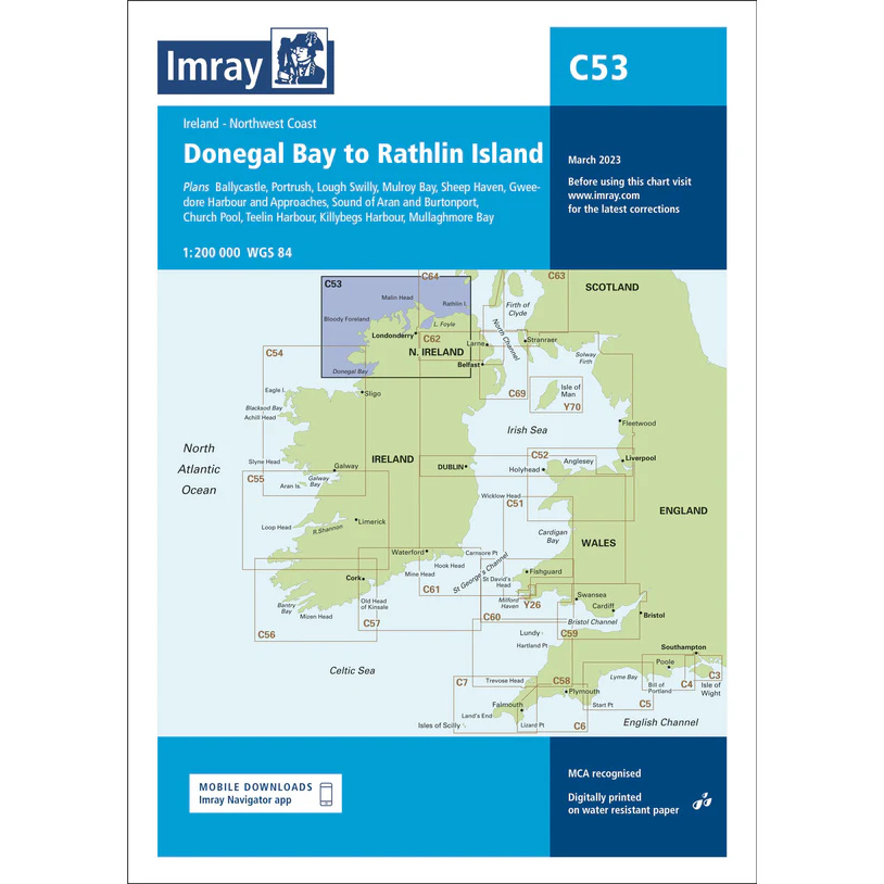
Description
This boating chart covers the northwest coast of Ireland from Donegal Bay to Rathlin Island, including parts of the coast to Northern Ireland. The area is characterized by open Atlantic stretches, weather-prone headlands, islands and deep bays, and is a demanding but popular area for experienced and long-distance sailors.
The chart is designed for route planning and overview navigation for leisure boats and sailboats traveling along the northwest coast of Ireland. It provides a clear representation of coastlines, main waterways and key approaches to ports and anchorages, and is often used in combination with more detailed port and local charts.
Imray is a renowned British chart manufacturer with extensive experience in nautical charts and publications for leisure boats. Designed for practical use on board, their charts combine clear cartography with reliable nautical information for sailors and powerboaters.