Description
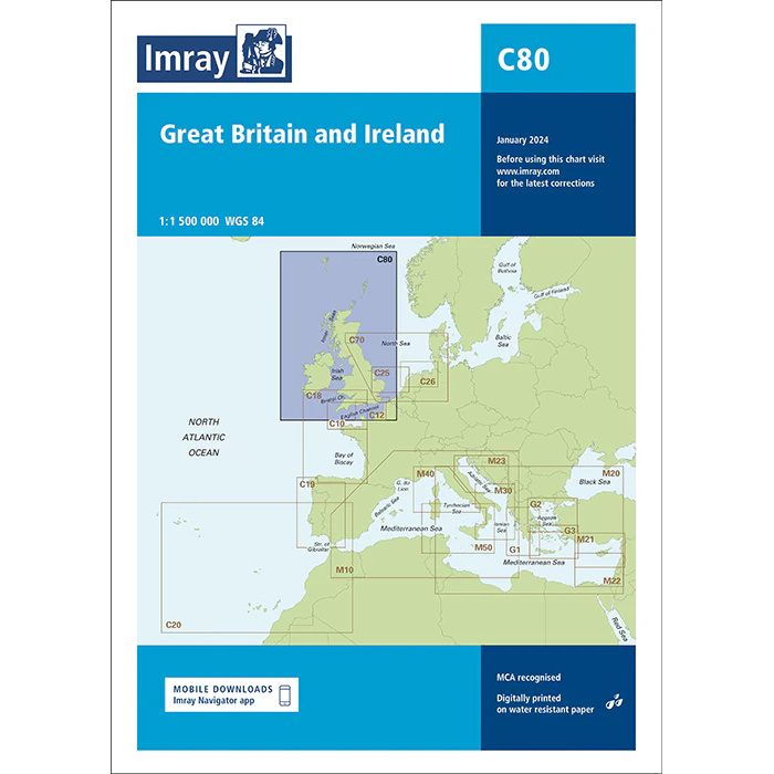
This boating map provides a comprehensive overview of the United Kingdom of Great Britain and Ireland, including the surrounding waters of the North Atlantic and North Sea. Designed for recreational boating and sailboat navigation, the chart serves as a general overview chart for coastal sailing, longer crossings and planning voyages around the British Isles.
The map provides a clear picture of coastlines, sea areas and geographical contexts, and is particularly suitable for rough route planning and orientation before sailing. It is often used in combination with more detailed Imray charts for individual areas, ports and coastlines.
Imray is a renowned British chart manufacturer with extensive experience in nautical charts and publications for leisure boats. Their charts are designed with practical on-board use in mind, combining clear cartography with reliable nautical information for sailors and powerboaters.