
Description
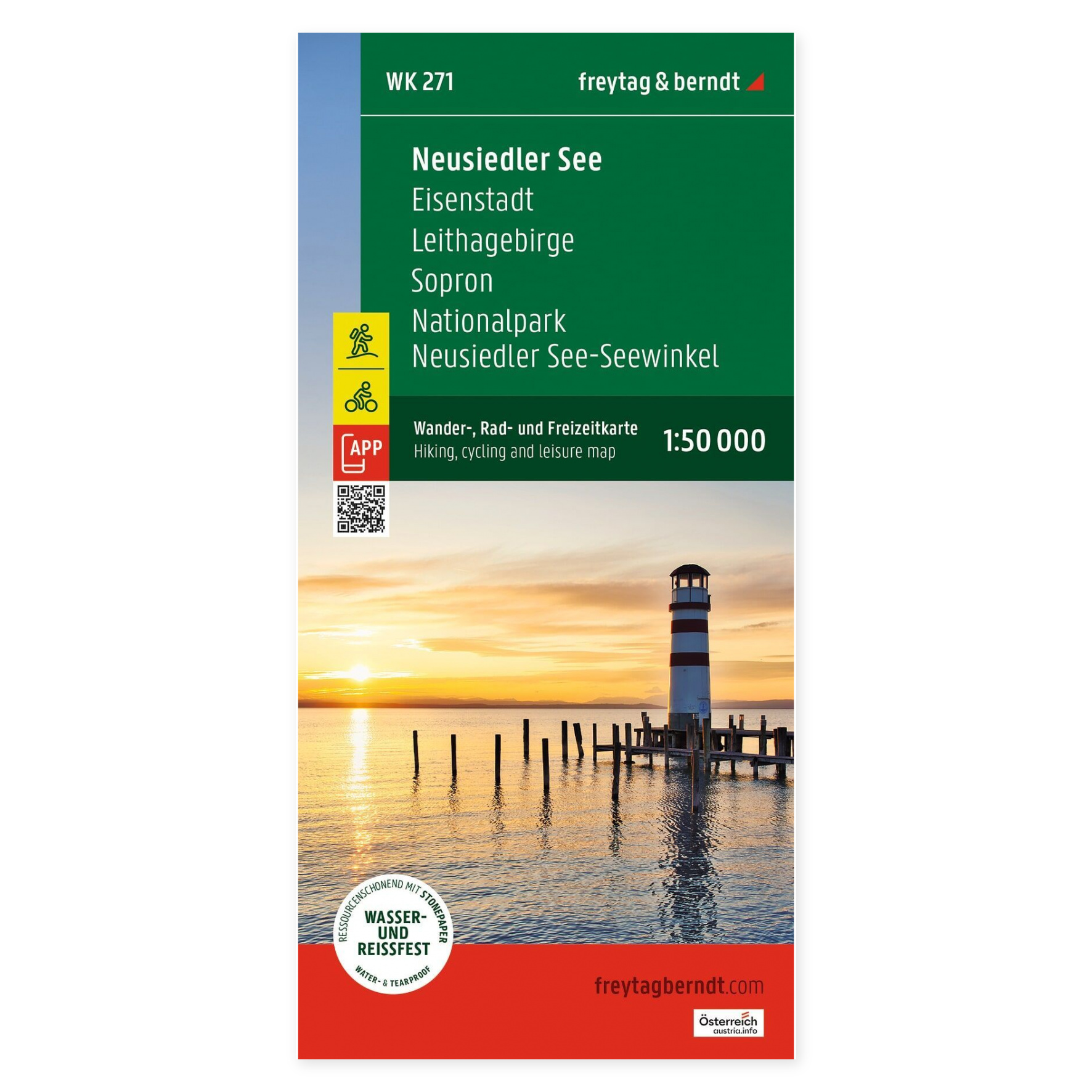
Lake Neusiedl – Hiking Map (waterproof, multilingual) by freytag & berndt is a detailed activity map covering the entire area around Lake Neusiedl on the border between Austria and Hungary. The map is designed for hiking, cycling, mountain biking, and other outdoor activities, and also includes information on sailing and boating on the lake.
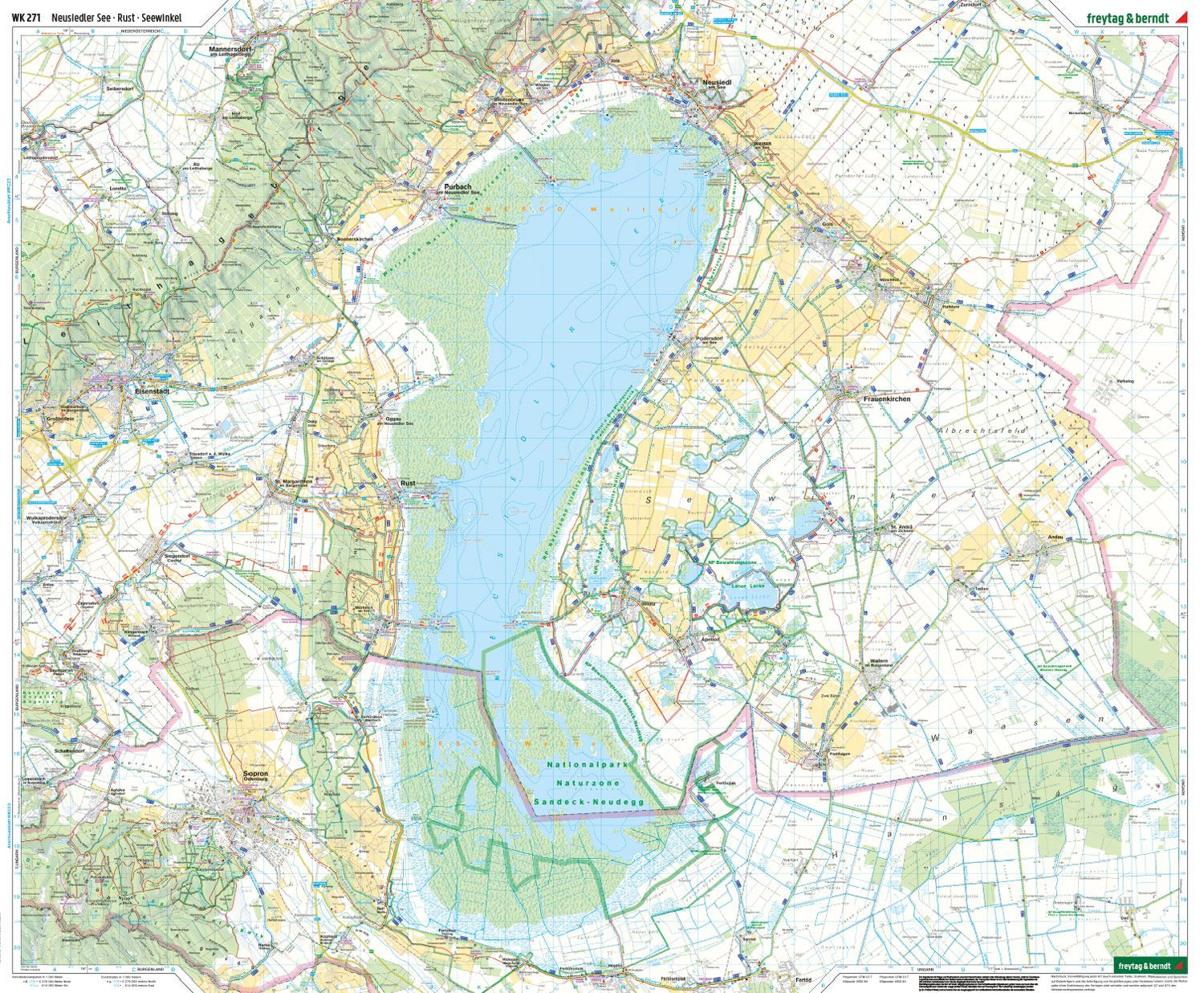
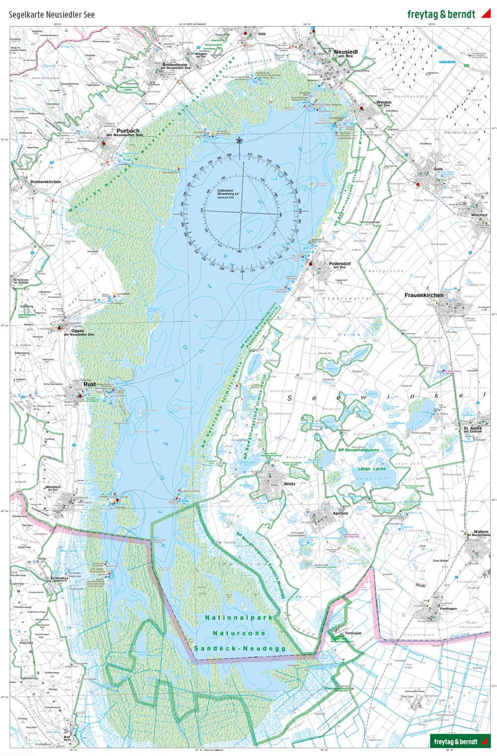
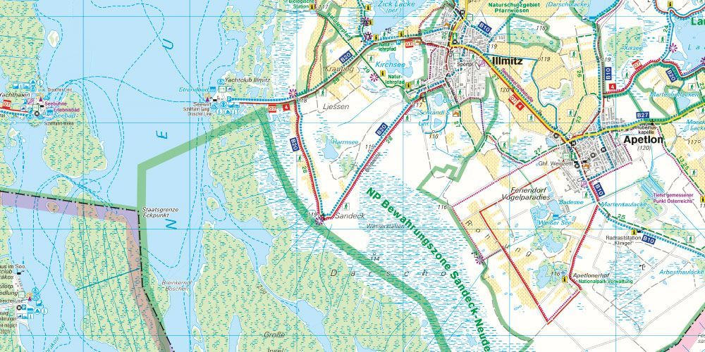
The map is printed at a scale of 1:50,000 and shows marked hiking trails, long-distance routes, cycling and mountain biking routes, horseback riding trails, and Nordic walking trails. In addition, the map includes tourist information, GPS coordinates, a comprehensive index of places with ZIP codes, and a separate nautical chart of Lake Neusiedl, making it a comprehensive guide to active adventures in the region.
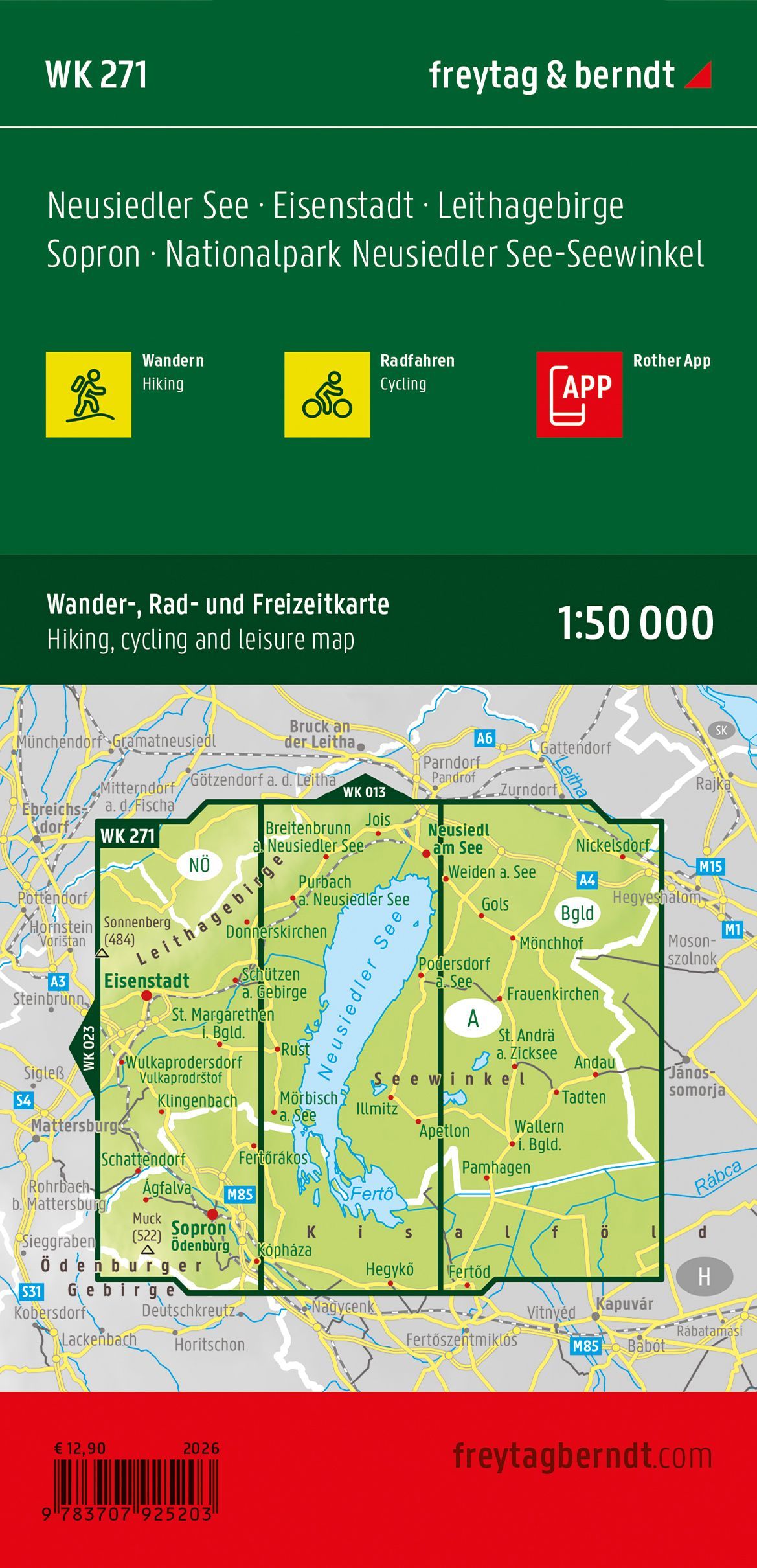
The double-sided map measures approximately 82 × 109 cm when unfolded and is printed on durable material that can withstand active use outdoors. The map covers , among other places , Lake Neusiedl, Seewinkel, the Leitha Mountains, Eisenstadt, and Sopron (Ödenburg), and is an ideal guide for exploring one of Central Europe’s most popular nature and recreation regions.
Release year: 2026.