
Description
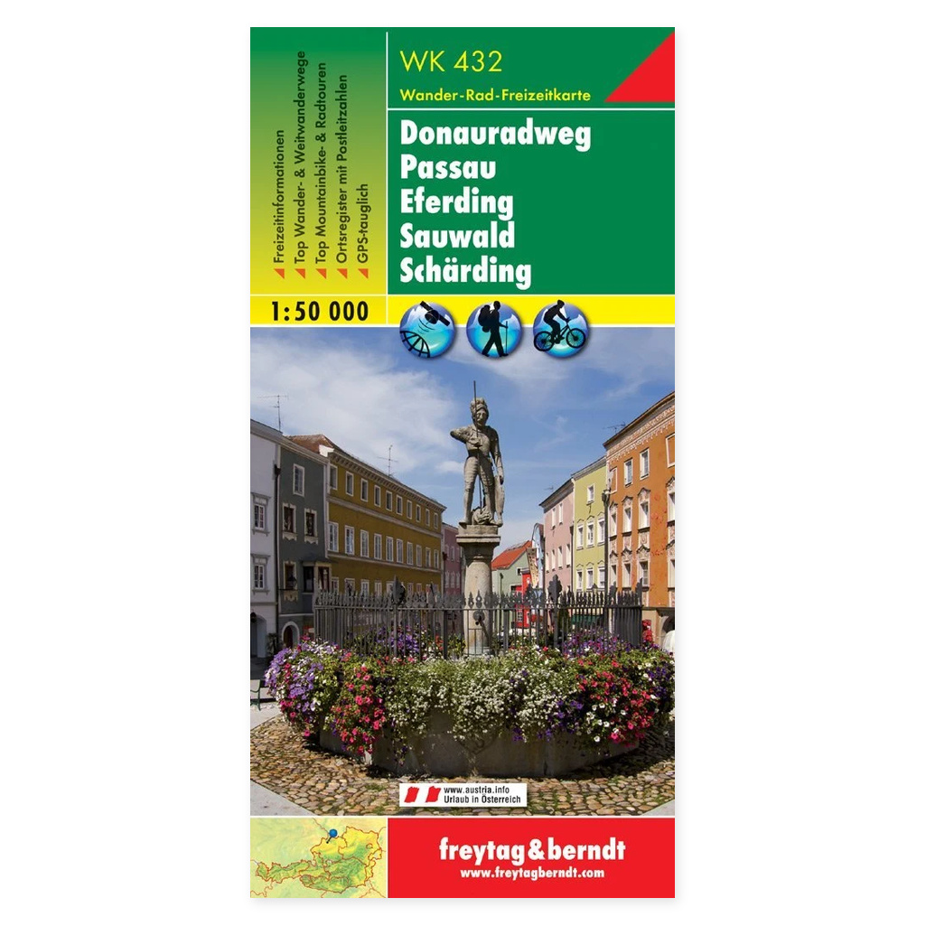
Donauradweg from Passau to Eferding, Sauwald and Schärding – hiking and cycling map from Freytag & Berndt is designed for planning trips and orienting yourself in the area.
Content and coverage. Hiking and cycling map of the Donauradweg between Passau and Eferding, including Sauwald and Schärding. It shows hiking and long-distance trails, cycling routes, and mountain bike tours. Tourist information and an accompanying info guide provide ideas for excursions and stops along the route. The map is GPS-compatible and covers areas on both sides of the border between Germany and Austria. Unfolded format is approximately 82 × 107 cm.
Plan on paper. An unfolded map provides space to compare multiple locations simultaneously and see the itinerary in context. Use place names and the map legend to find relevant stops and choose which areas you wish to investigate further.
Practical information: Scale 1:50,000. Publication year 2019. ISBN 9783707906042. Item number WK 432 ALT. Publisher Freytag & Berndt.