
Description
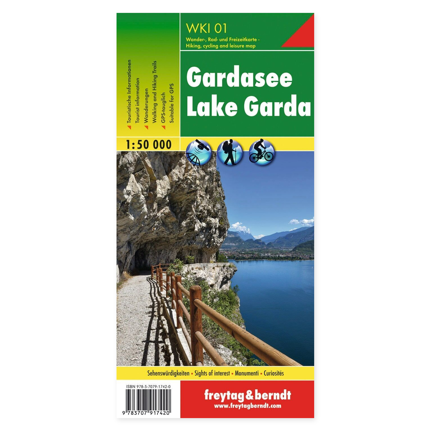
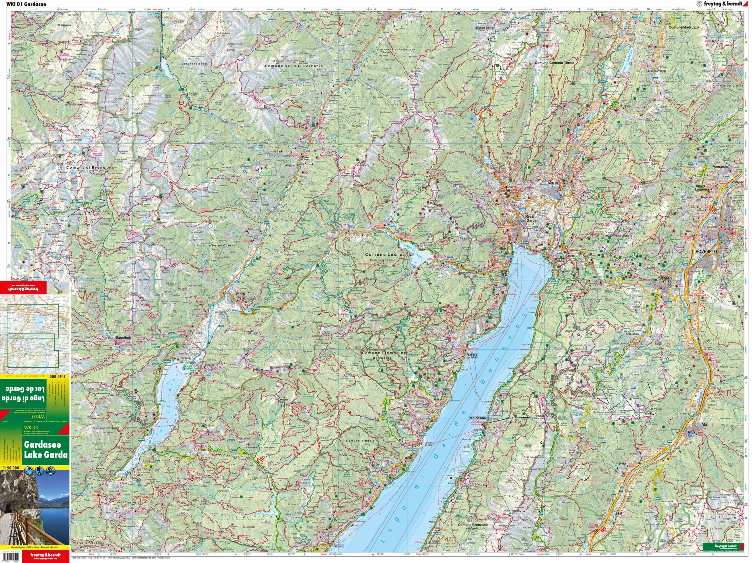
Lake Garda – hiking map (multilingual) from Freytag & Berndt is designed to help you plan trips and find your way around the area.
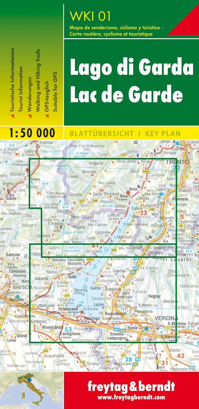
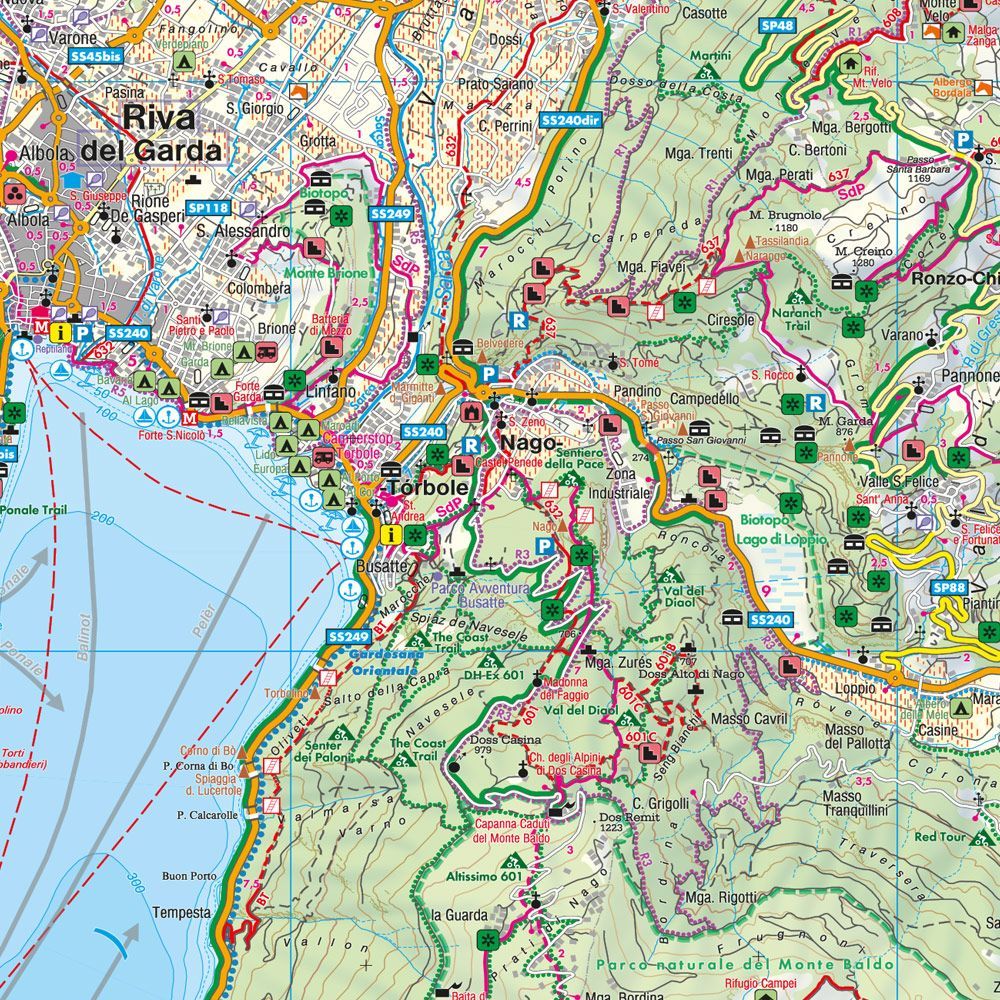
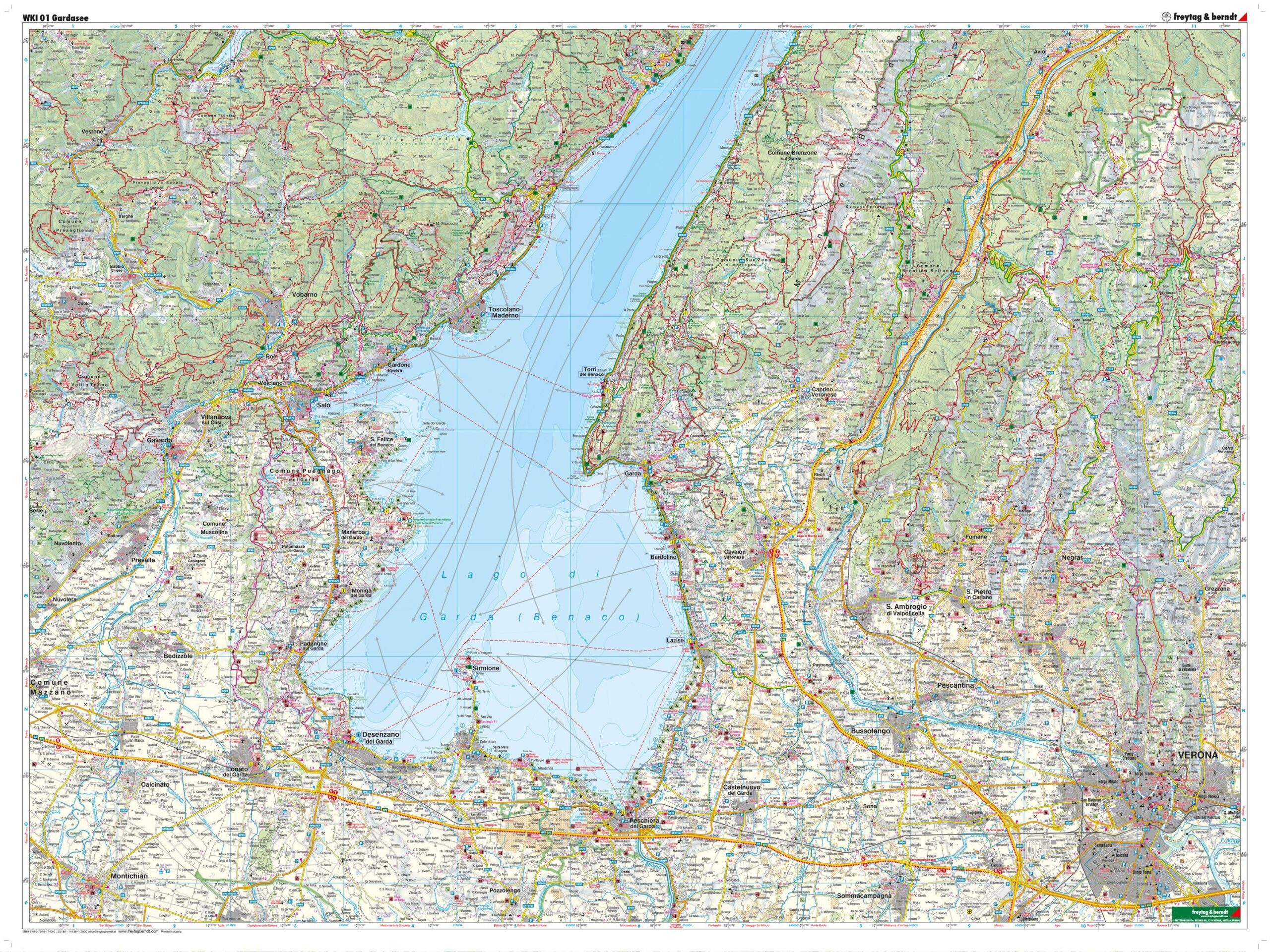
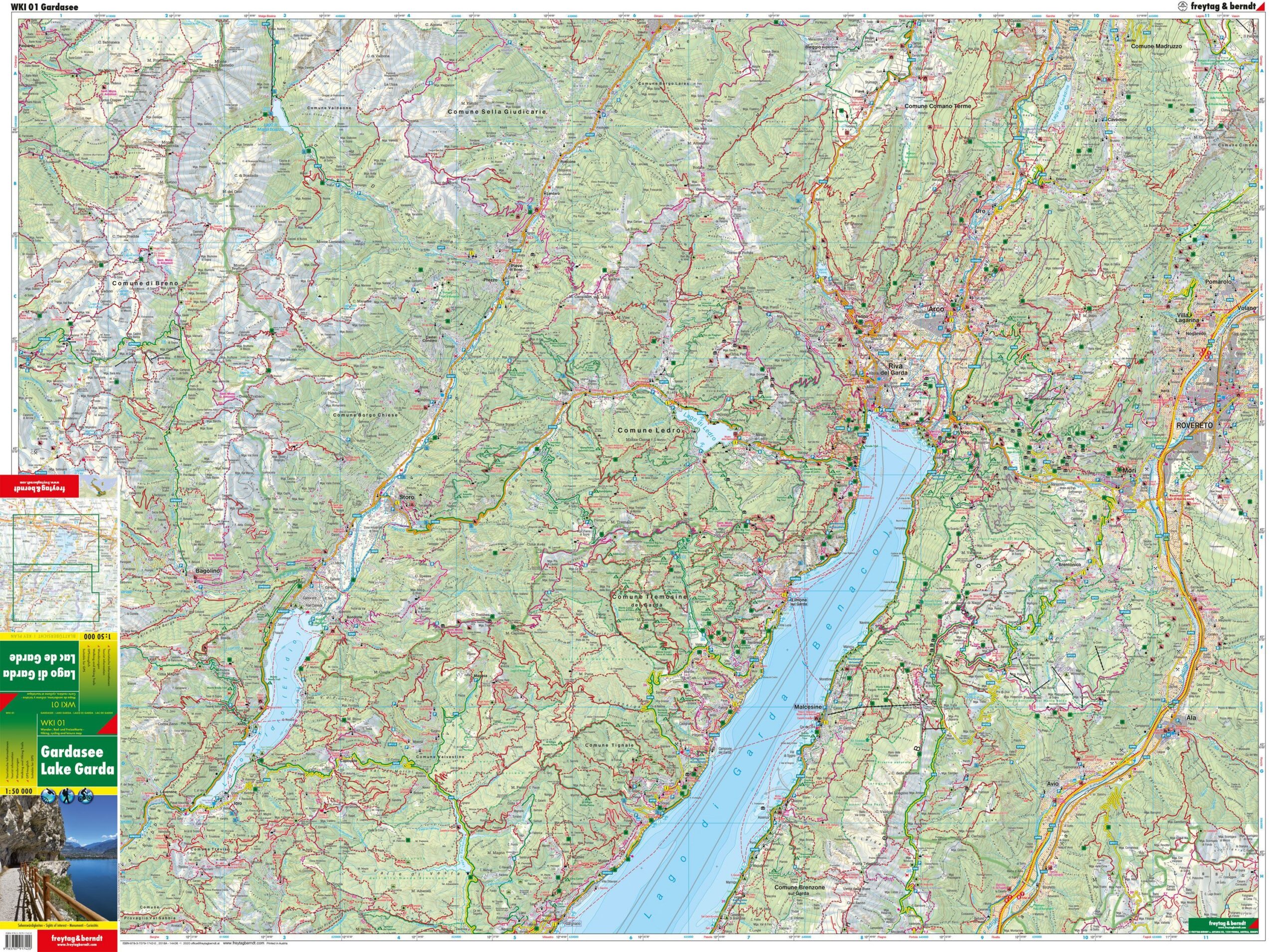
Content and coverage. Hiking map of Lake Garda and the surrounding areas, featuring hiking trails, cycling and mountain biking routes, mountain huts, natural landmarks, and cultural and historical sights. The map covers Riva del Garda, Arco, Torbole, Monte Baldo, and Sirmione, among other areas. An accompanying information booklet presents selected routes and places in the area, with text in German, English, and Italian. The map is GPS-compatible and printed on both sides.
Plan on paper. A fold-out map gives you room to compare several locations at once and see the full route in context. Use place names and the map legend to find points of interest and decide which areas to explore further.
Practical information: Scale 1:50,000. Year of publication 2018. ISBN 9783707917420. Item number WKI 01. Publisher Freytag & Berndt.