Galdhøpiggen
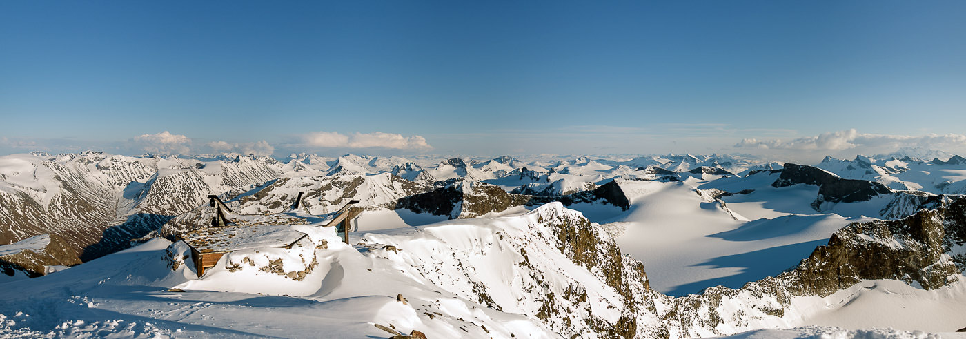
Galdhøpiggen is the highest mountain peak in Norway and Scandinavia, standing at 2,469 meters above sea level, and is a natural destination for many visiting Jotunheimen. The summit is reached either from Spiterstulen, following a trail and snowfields with significant elevation gain, or from Juvasshytta via the Styggebreen glacier before the final ascent on solid rock.
The hike from Juvasshytta is considered the easiest route, but requires a glacier guide or personal glacier equipment and the necessary expertise. Under no circumstances is it safe to traverse the glacier without a rope and a qualified guide. The trip normally takes around 7 hours round trip and is approximately 5 km long.
Today, a sturdy stone cabin built in 1975 stands at the summit, where simple refreshments can be purchased during opening hours and one can seek shelter from the elements. This is the fourth cabin to stand here, after previous structures from 1888, 1925, and 1926 were lost in powerful winter storms.
The area around Galdhøpiggen offers a varied high-mountain landscape with marked routes, glacier areas, and vast continuous mountain plateaus, making high-quality maps essential for safe planning and navigation.
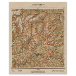
Hiking maps of Galdhøpiggen
Detailed hiking maps covering Galdhøpiggen and nearby mountain areas in Jotunheimen, suitable for both summit hikes and planning navigation in the high mountains.
-
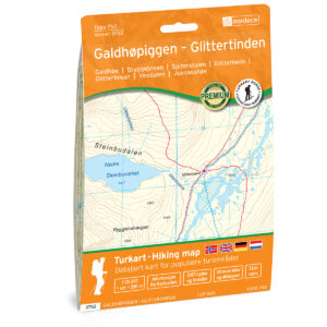
Galdhøpiggen – Glittertinden Topo 750 Turkart
19,35 € Add to cart -
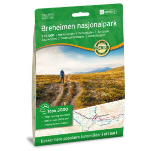
Breheimen National Park Topo 3000 Hiking Map
19,35 € Add to cart -
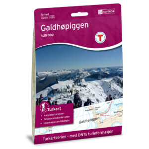
Galdhøpiggen DNT Hiking Map
19,35 € Add to cart -
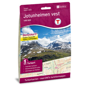
Jotunheimen West DNT Hiking Map
19,35 € Add to cart -
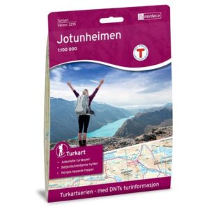
Jotunheimen DNT Turkart
19,35 € Add to cart -
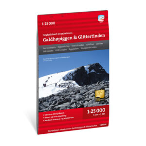
High mountain map Jotunheimen: Galdhøpiggen & Glittertinden 1:25.000
17,86 € Add to cart -

Turkart Jotunheimen 1:50.000
17,86 € Add to cart -
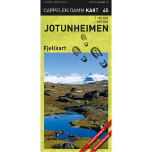
Jotunheimen mountain map
19,35 € Add to cart
The Norwegian Mapping Authority’s N50 series – Galdhøpiggen
The Norwegian Mapping Authority’s N50 map series is Norway’s official topographic map, with a new version released in May 2025. The maps provide detailed and easy-to-read terrain information and are delivered as print-on-demand rolls in 103 × 73 cm format.

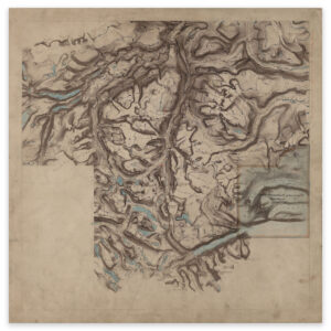
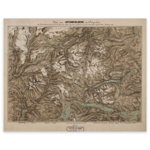
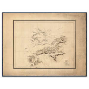
Historical maps of Galdhøpiggen and Jotunheimen
A selection of historical maps showing Galdhøpiggen and Jotunheimen as the area was previously mapped, suitable both as references and decorative wall maps.