Hardangervidda
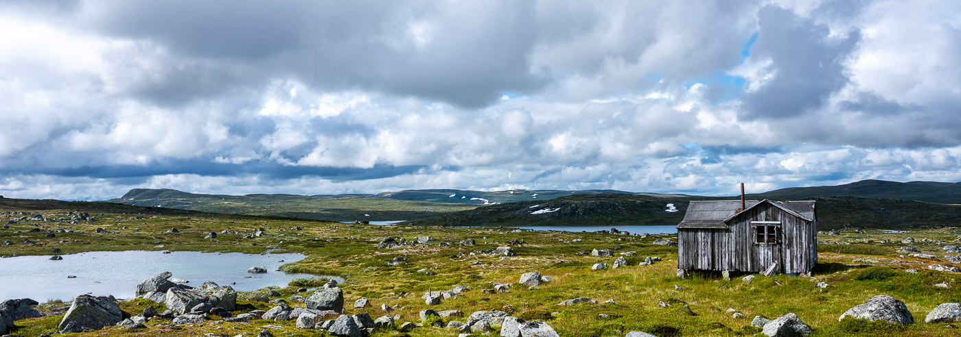
Hardangervidda is Northern Europe’s largest high mountain plateau and covers an area of approximately 8,000 km². The plateau is situated mainly at 1,100–1,200 m above sea level, with Sandfloeggi (1,721 m above sea level) as its highest point. The landscape is characterized by open plains, long plateaus, and rolling mountain sections, while the western parts are more alpine and dramatic.
The area has a rich flora and fauna and is the habitat for Europe’s largest wild reindeer herd, as well as species such as the arctic fox and snowy owl. Hardangervidda extends from Røldal in the south to Finsedalen by the Bergen Line in the north, forming a large, continuous mountain area between east and west.
Hardangervidda offers great opportunities for travel in both summer and winter, with an extensive network of marked trails, waymarked winter routes, and numerous mountain lodges. The terrain is suitable for everything from short day trips to long hut-to-hut tours, as well as backcountry skiing and cycling trips such as the classic Rallarvegen.
The vast distances, weather-exposed conditions, and open landscape make high-quality maps essential for safe planning and travel on Hardangervidda, whether you are on foot, on skis, or combining multiple modes of transport.
Hiking maps of Hardangervidda
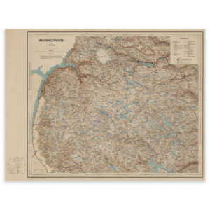
Hiking maps covering Hardangervidda National Park and adjacent mountain areas, suitable for hiking, backcountry skiing, hut-to-hut tours, and longer expeditions.
-
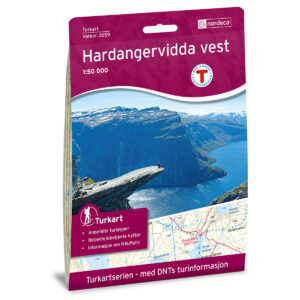
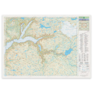
Hardangervidda West DNT Hiking Map
18,92 € Add to cart -
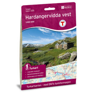
Hardangervidda West DNT Hiking Map
18,92 € Add to cart -

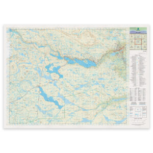
Hardangervidda East DNT Hiking Map
18,92 € Add to cart -
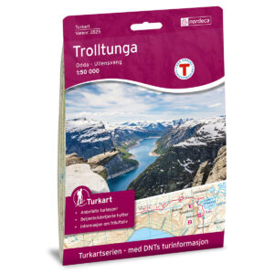
Trolltunga, Odda – Ullensvang DNT Turkart
18,92 € Add to cart -
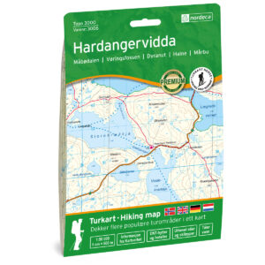
Hardangervidda Topo 3000 Hiking Map
18,92 € Add to cart -
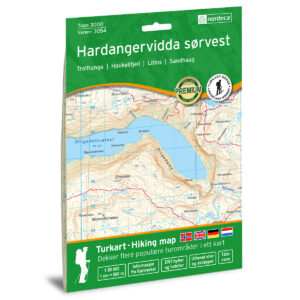
Hardangervidda sørvest Topo 3000 Turkart
18,92 € Add to cart -
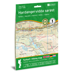
Hardangervidda south east Topo 3000 Turkart
18,92 € Add to cart -
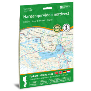
Hardangervidda nordvest Topo 3000 Turkart
18,92 € Add to cart -
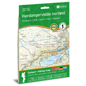
Hardangervidda northeast Topo 3000 Turkart
18,92 € Add to cart -
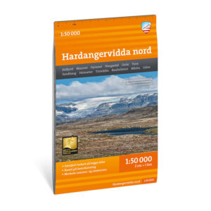
Turkart Hardangervidda north 1:50.000
17,46 € Add to cart -
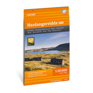
Turkart Hardangervidda south 1:50.000
17,46 € Add to cart -
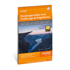
Turkart Hardangervidda west, Trolltunga & Folgefonna 1:50.000
17,46 € Add to cart
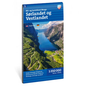
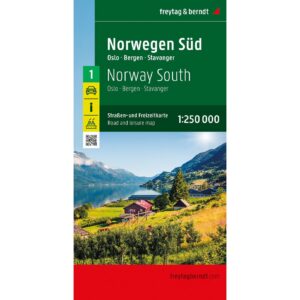
Experience guides and road maps of Hardangervidda
Experience guides and road maps for planning travel and access to Hardangervidda, including starting points such as Geilo, Finse, Haugastøl, Haukeliseter, and Rjukan.

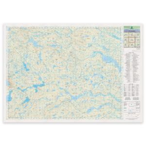
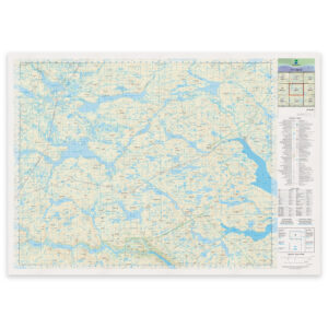
The Norwegian Mapping Authority’s N50 series – Hardangervidda
The Norwegian Mapping Authority’s N50 map series is Norway’s official land map, with a new version released in May 2025. The maps provide detailed and easy-to-read terrain information and are delivered as print-on-demand on rolls in a 103 × 73 cm format.
-
Norwegian Mapping Authority – national map (N50): 08-D Hårteigen
From 28,86 €
Select options -
Norwegian Mapping Authority – national map (N50): 08-E Lågaros
From 28,86 €
Select options -
Kartverket – national map (N50): 09-D Eidfjord
From 28,86 €
Select options -
Norwegian Mapping Authority – national map (N50): 09-E Geilo
From 28,86 €
Select options
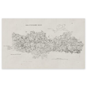
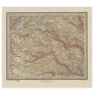
Historical maps of Hardangervidda
Historical maps showing Hardangervidda and adjacent mountain areas as they have been mapped previously, suitable for both reference and as decorative wall maps.