Norway’s Official Nautical Charts – Norwegian Mapping Authority Print on Demand (POD)
Norway’s official nautical charts from the Norwegian Mapping Authority are delivered as Print on Demand (POD) and printed upon order with the latest available updates.
The charts cover the entire Norwegian coast – from the Swedish border to Grense Jakobselv – and are used for both recreational sailing and professional navigation.
Choose between traditional chart paper or water- and tear-resistant Tyvek.
Find the correct chart before ordering
Not sure which chart number you need? Use the Norwegian Mapping Authority’s overview map to find the correct chart sheet, then order here at Kart.no.
Open the Norwegian Mapping Authority’s chart overview
Opens in a separate tab (norgeskart.no)
Main Charts
Large scale and high level of detail – for safe navigation along the coast and in the archipelago.
Coastal Charts
Overview of larger areas – well suited for planning and sailing between regions.
Harbour Charts
Details for approach and harbor – essential for arrival, maneuvering, and mooring.
Passage Charts
For longer passages and open sea stretches – support for crossings and route selection.
-

Kartverket nautical chart 461 – Narvik harbor
From 22,94 €
Select options -
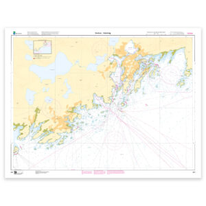
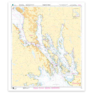
Kartverket nautical chart 462 – Svolvær – Kabelvåg
From 22,94 €
Select options -
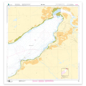
Kartverket nautical chart 463 – Mo i Rana
From 22,94 €
Select options -
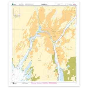
Kartverket nautical chart 464 – Fredrikstad harbor
From 22,94 €
Select options -
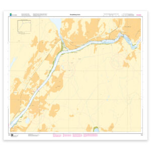
Kartverket nautical chart 465 – Sarpsborg harbor
From 22,94 €
Select options -
Kartverket nautical chart 467 – Egersund harbor, Sirevåg and Hellvik with approaches
From 22,94 €
Select options -
Kartverket nautical chart 468 – Tønsberg harbor
From 22,94 €
Select options -
Kartverket nautical chart 470 – Singlefjorden, Iddefjorden with Halden harbor
From 22,94 €
Select options -
Kartverket nautical chart 471 – Kvitsøy and Skudeneshavn
From 22,94 €
Select options -

Kartverket nautical chart 472 – Port of Drammen
From 22,94 €
Select options -
Kartverket nautical chart 473 – Langesund – Herøya
From 22,94 €
Select options -
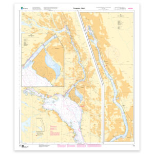
Kartverket nautical chart 474 – Porsgrunn – Skien
From 22,94 €
Select options -
Kartverket nautical chart 476 – Bodø harbor
From 22,94 €
Select options -
Kartverket nautical chart 477 – Farsund harbor with approaches
From 22,94 €
Select options -
Kartverket nautical chart 478 – Flekkefjord harbor with approaches
From 22,94 €
Select options -
Kartverket nautical chart 479 – Florø harbor
From 22,94 €
Select options -
Kartverket nautical chart 480 – Larvik harbor. Sandefjord harbor
From 22,94 €
Select options -
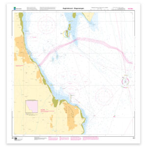
Kartverket nautical chart 481 – Åsgårdstrand – Slagentangen
From 22,94 €
Select options