-
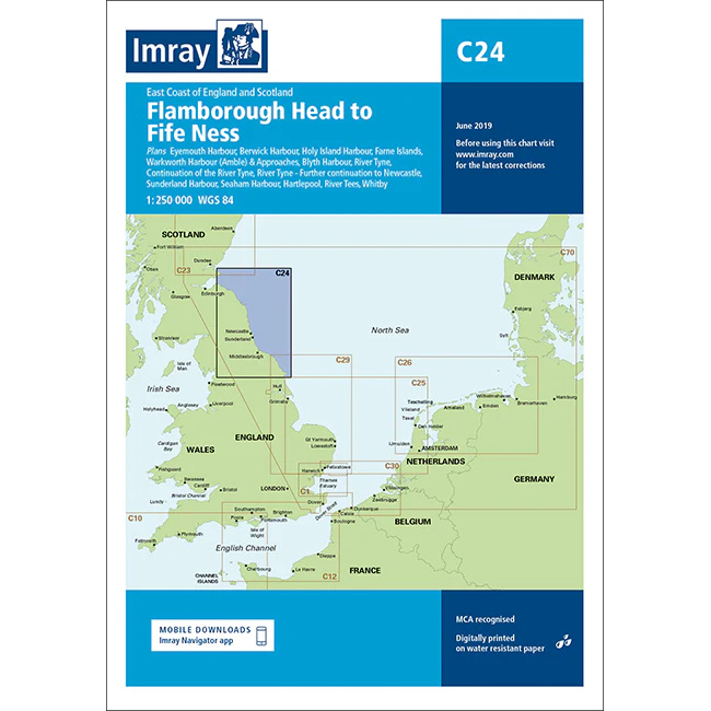
Flamborough Head to Fife Ness – Imray C24
Detailed Imray boating map for the east coast from Flamborough Head to Fife Ness.
-
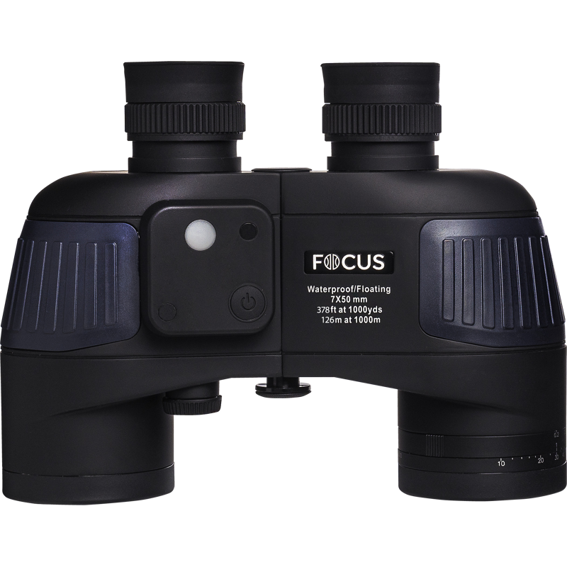
Focus Aquafloat 7×50 Waterproof Compass – Marine binoculars for safe navigation
Waterproof and floating 7×50 marine binoculars with built-in compass, designed for safe navigation at sea. Provides stable image, high brightness and precise course readings in demanding conditions.
-

Focus Aquafloat 7×50 WP – Waterproof and floating marine binoculars
Waterproof and floating 7×50 marine binoculars with high brightness and wide field of view. Designed for safe navigation and use at sea, both day and night.
-
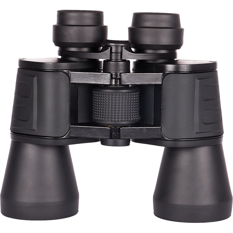
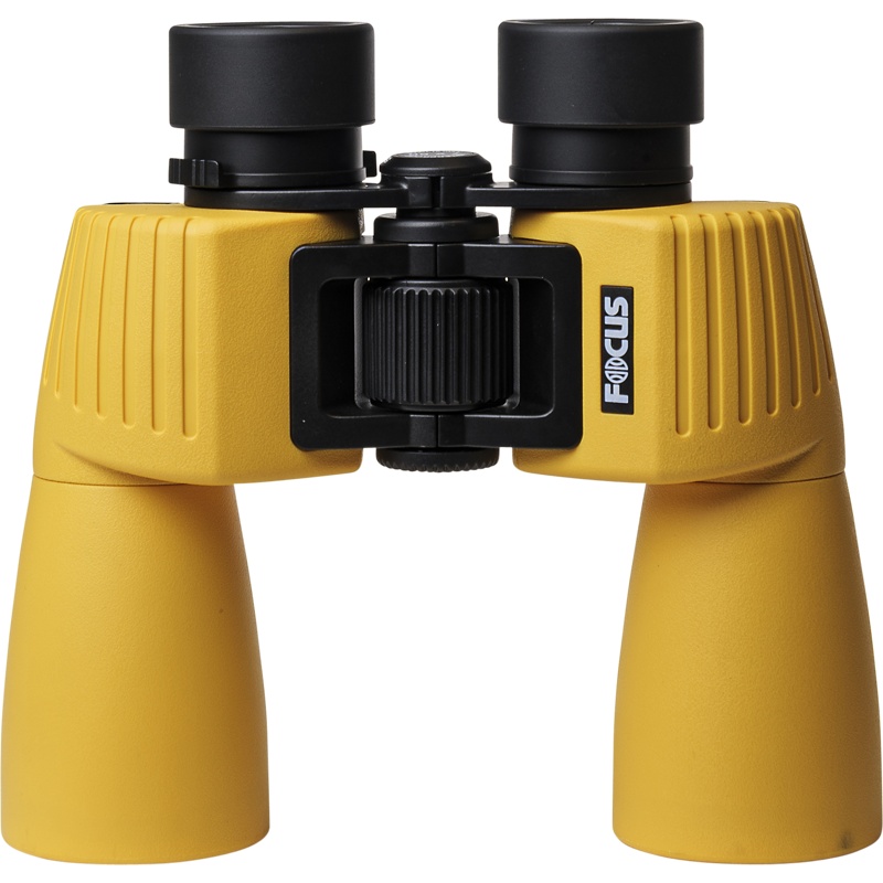
Focus Bright 7×50 binoculars
Affordable 7×50 binoculars with a wide field of view, stable grip and clear optics. A good choice for outdoor life, hunting and general nature observation.
-

Focus Mountain 10×42 Binoculars
Affordable 7×50 binoculars with a wide field of view, stable grip and clear optics. A good choice for outdoor life, hunting and general nature observation.
-
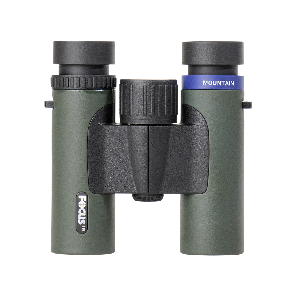
Focus Mountain 8×25 Binoculars
Affordable 7×50 binoculars with wide field of view, stable grip and clear optics. A good choice for outdoor life, hunting and general nature observation.
-
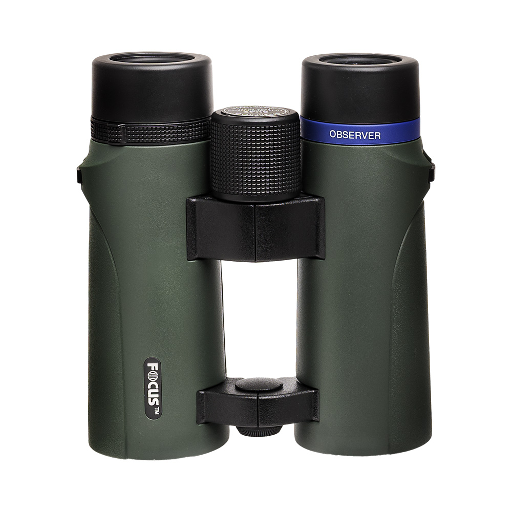
Focus Observer 10×42 HD Binoculars
Focus Outdoor II 8×42 are lightweight, easy-to-use binoculars with stable magnification and a wide field of view. Perfect for hiking, bird watching and nature experiences.
-
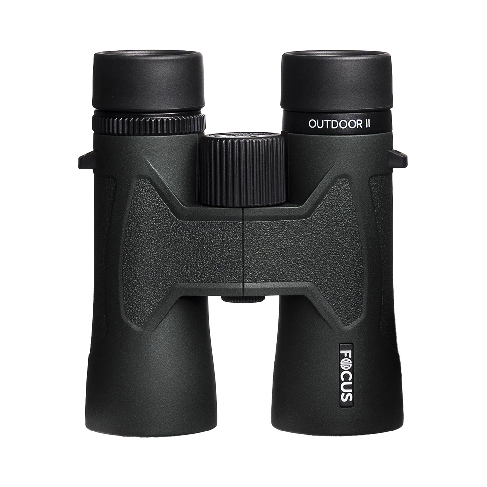
Focus Outdoor II 8×42 Binoculars
Focus Outdoor II 8×42 are lightweight, easy-to-use binoculars with stable magnification and a wide field of view. Perfect for hiking, bird watching and nature experiences.
-
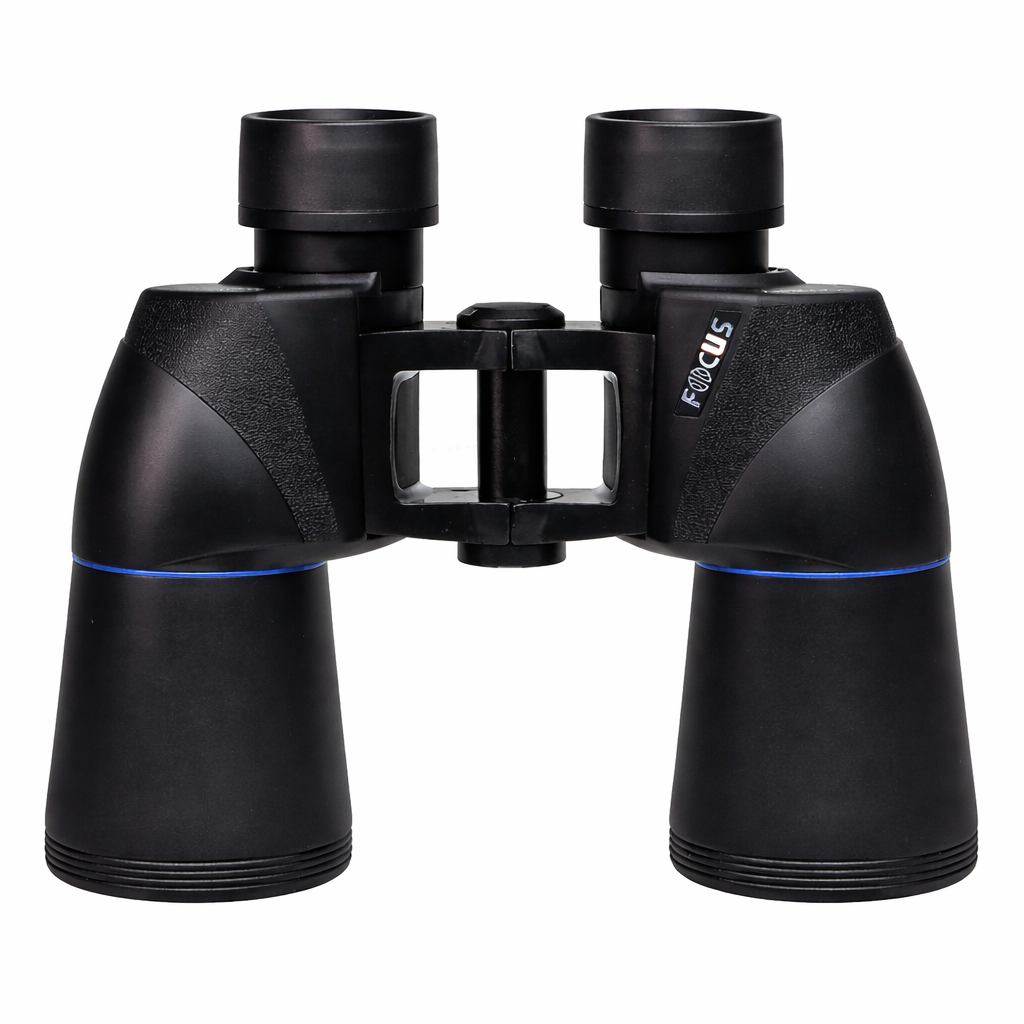
Focus Sailor III 7×50 WP – marine binoculars
Focus Sailor III 7×50 is a solid and reliable marine binocular for navigation at sea. It combines high brightness, stable magnification and waterproof construction with a secure, non-slip grip. The binoculars come with a floating strap and case, and are just as suitable for leisure boats as for more demanding use in rough conditions.
-
Focus Scenery 7×50 FF – Marine binoculars with Free Focus
Stable and bright 7×50 marine binoculars with Free Focus – always sharp at long distances and easy to use with one hand. Perfect for navigation, coastal sailing and observation at sea.
-
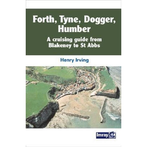
Forth, Tyne, Dogger, Humber
Cruising guide for sailing along the east coast of the UK, from Blakeney to St Abbs, with descriptions of ports, anchorages and sailing conditions.
-
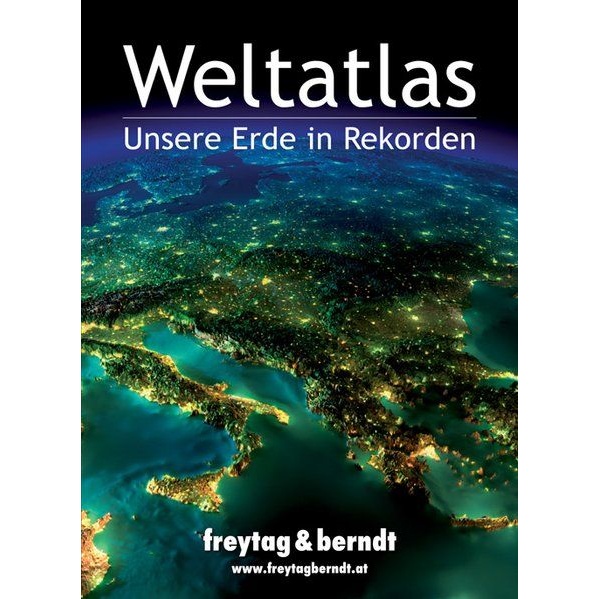
Freytag & Berndt world atlas (German)
This world atlas from Freytag & Berndt is a recognized and visually strong atlas that combines high cartographic quality with rich editorial content. With a large number of maps and thematic overviews, the atlas provides good insight into the world’s geography, nature and man-made structures. It is ideal as a reference work at home, in…
-
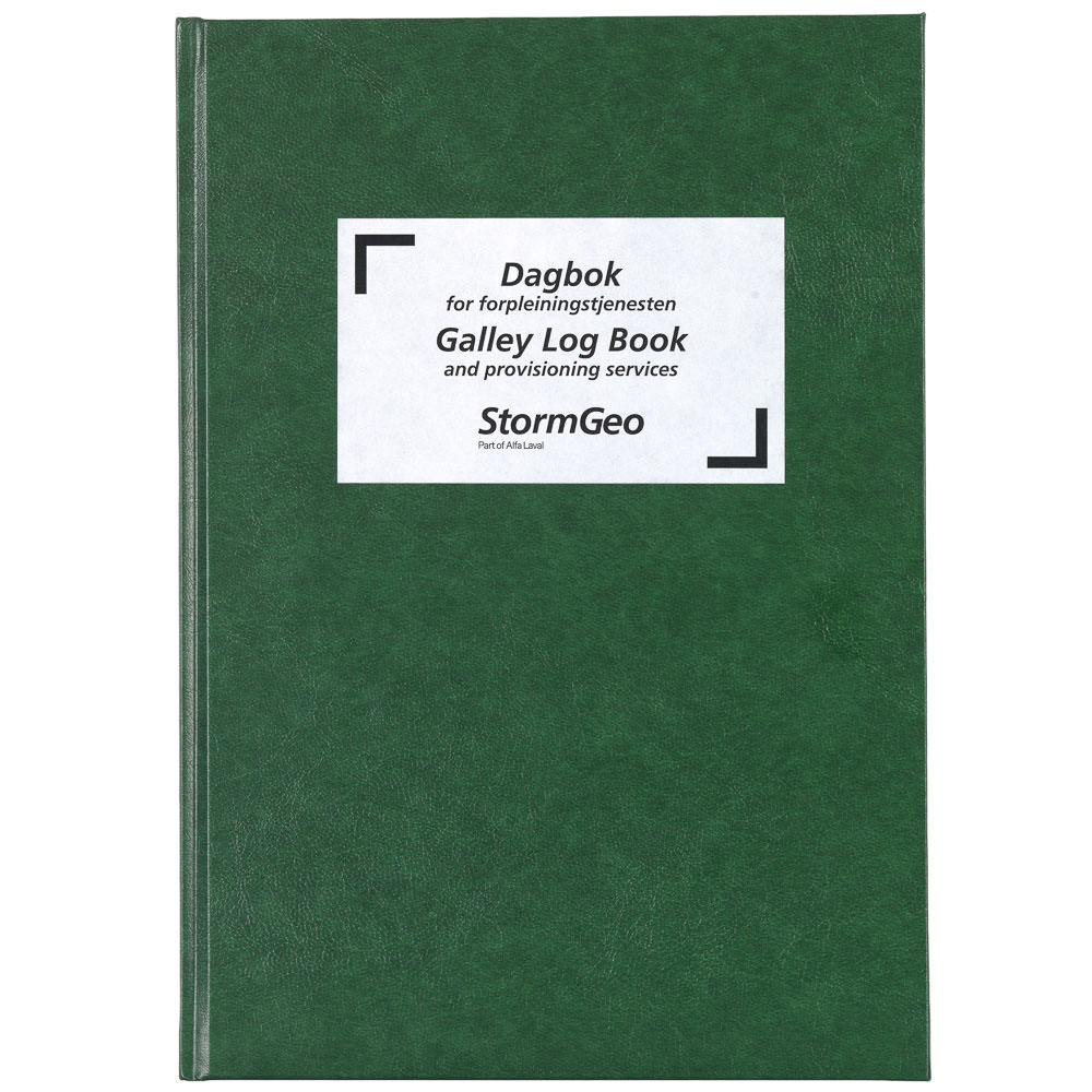
Galley Logbook / Provisioning Logbook (ENG/NO)
Logbook for galley and provisions. Bilingual (English/Norwegian). For recording meals, consumption, and hygiene on board.
-
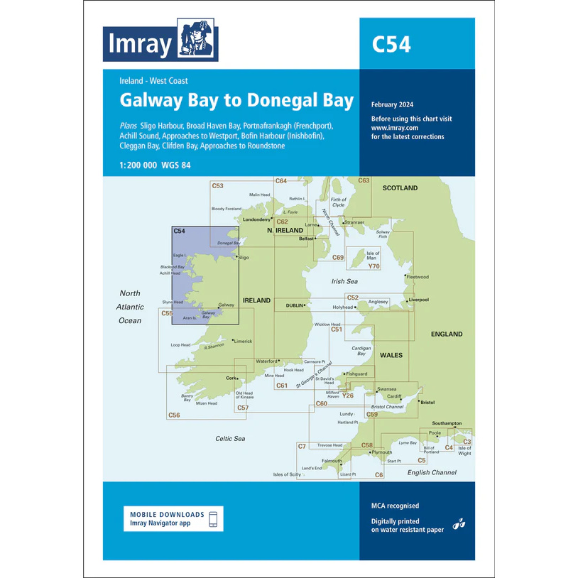
Galway Bay to Donegal Bay – Imray C54
Detailed boating map from Imray covering the stretch from Galway Bay to Donegal Bay on the west coast of Ireland.
-
Gangway / Visitor / Ship Security Logbook
Visitor and security log for gangways and ship security.
-
Garbage Record Book Part I – All Ships (incl. E-Waste)
Garbage Record Book Part I for all ships, including electronic waste. MARPOL Annex V.
-

Garbage Record Book Part II – Ships that Carry Solid Bulk Cargo
Garbage Record Book Part II for ships that carry solid bulk cargo. MARPOL Annex V Reg. 10.
-
Germany – large car atlas (multilingual)
Updated and detailed car atlas of Germany at a scale of 1:200,000. Edition 2026-2027 from Freytag & Berndt, with clear cartography, place index and separate Alpen booklet.
-
Germany and Denmark
Pilot book for sailing along the coasts of Germany and Denmark, focusing on approaches, ports and sailing conditions in the transition area between the North Sea and the Baltic Sea.
-
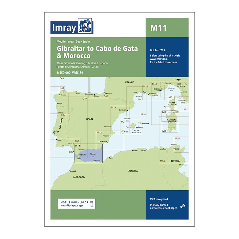
Gibraltar to Cabo de Gata & Morocco – Imray M11
Overview map covering the Strait of Gibraltar, the south coast of Spain and the north coast of Morocco up to Cabo de Gata. Suitable for route planning and general navigation.